Pascagoula in Jackson County, Mississippi — The American South (East South Central)
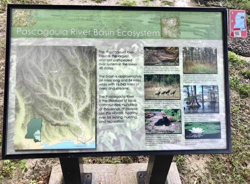
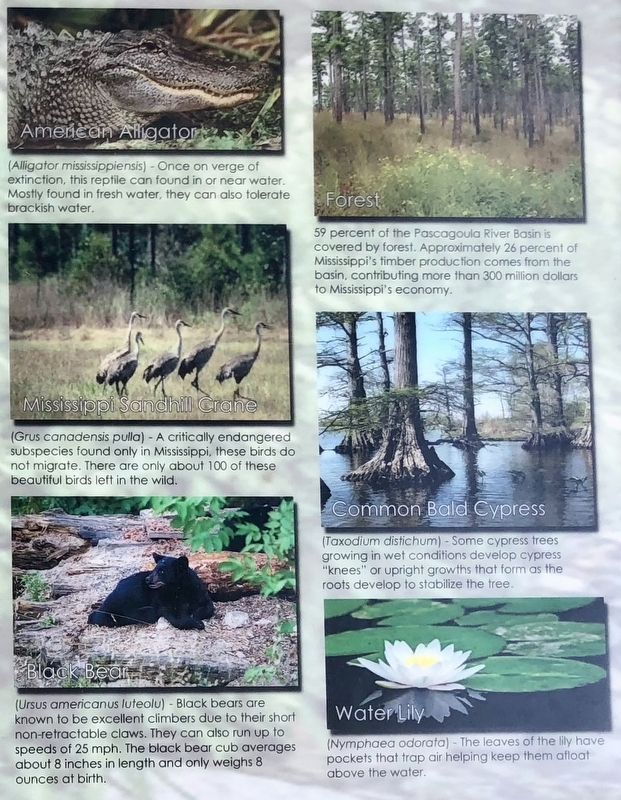
Pascagoula River Basin Ecosystem
The Pascagoula River basin is the largest and last unimpeded river system in the lower 48 states.
The basin is approximately 64 miles long and 84 miles wide with 16,045 miles of rivers and streams.
The Pascagoula River is the lifeblood of local communities. Hundreds of thousands of people use this vibrant, healthy river for fishing, hunting. and recreation.
Erected by the City of Pascagoula.
Topics. This historical marker is listed in these topic lists: Animals • Horticulture & Forestry • Parks & Recreational Areas • Waterways & Vessels.
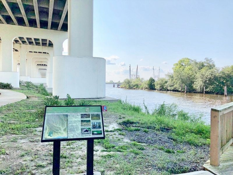
Location. 30° 22.305′ N, 88° 33.562′ W. Marker is in Pascagoula, Mississippi, in Jackson County. Marker can be reached from Frederic Street, 0.1 miles west of Magnolia Street, on the right when traveling west. Located at Lighthouse Park, under the Jackson County Veterans Memorial Bridge. Touch for map. Marker is at or near this postal address: Frederic Street, Pascagoula MS 39567, United States of America. Touch for directions.
Other nearby markers. At least 8 other markers are within walking distance of this marker. Captain H.H. Colle House (about 500 feet away, measured in a direct line); Dr. Joseph A. Tabor House (about 500 feet away); Pascagoula UFO 1973 (about 500 feet away); Colle Company Housing (about 700 feet away); DeJean House (approx. 0.2 miles away); Orange Avenue Historic District (approx. 0.2 miles away); Round Island Lighthouse (approx. 0.2 miles away); a different marker also named Round Island Lighthouse (approx. 0.2 miles away). Touch for a list and map of all markers in Pascagoula.
Regarding Pascagoula River Basin Ecosystem. The Pascagoula River is the largest (by volume) undammed river in the contiguous 48 states.
Also see . . . The Pascagoula River Watershed. The Nature Conservancy website entry (Submitted on August 30, 2018, by Mark Hilton of Montgomery, Alabama.)
Credits. This page was last revised on July 20, 2022. It was originally submitted on August 30, 2018, by Mark Hilton of Montgomery, Alabama. This page has been viewed 244 times since then and 22 times this year. Photos: 1, 2, 3, 4. submitted on August 30, 2018, by Mark Hilton of Montgomery, Alabama.


