Unionville in Lake County, Ohio — The American Midwest (Great Lakes)
Unionville Tavern
Photographed by Mike Wintermantel, August 31, 2018
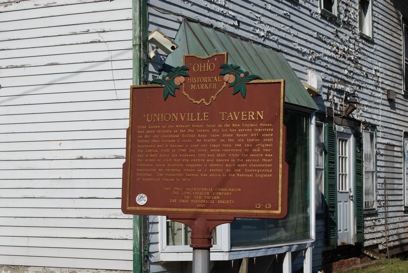
1. Unionville Tavern Marker
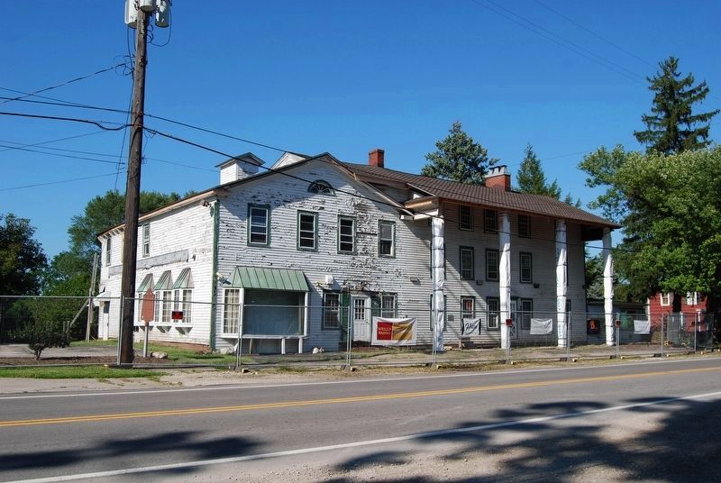
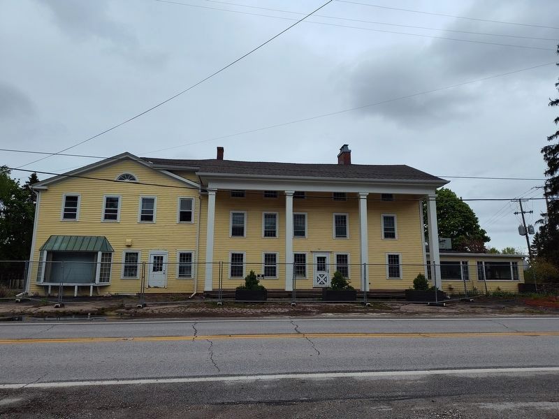
First known as the Webster House, later as the New England House, and finally as the Old Tavern, this inn has served travelers on the old Cleveland-Buffalo Road (now State Route 84) since before Ohio became a state. As traffic on the old Indian trail increased and it became a post and stage road, the two original log cabins, built in 1798 and later, were converted to this two-and-a-half story inn between 1815 and 1820. While the tavern was the scene of Civil War-era parties and dances in the second-floor ballroom, local tradition suggests it offered much more clandestine hospitality to escaping slaves as a station on the Underground Railroad. The Unionville Tavern was added to the National Register of Historical Places in 1973.
Erected 2001 by Ohio Bicentennial Commission, The Longaberger Company, The Old Tavern, and The Ohio Historical Society. (Marker Number 13-43.)
Topics and series. This historical marker is listed in these topic lists: Abolition & Underground RR • Architecture • War, US Civil. In addition, it is included in the Ohio Historical Society / The Ohio History Connection series list. A significant historical year for this entry is 1798.
Location. 41° 46.816′ N,
this page online

Regionally, this marker is in Greater Cleveland, on the Lake Erie Shore, and in the Western Reserve. It is also in the American Midwest. Globally, it is in North America, on the Great Lakes, in the Western Hemisphere, in the Western World, and in the Anglosphere. Historically, it finds itself in what was once the Haudenosaunee (Iroquois) Confederacy, the territory of the Mississippian Culture, and the Northwest Territory.
Other nearby markers. At least 8 other markers are within 4 miles of this marker, measured as the crow flies: Colonel Alexander Harper (within shouting distance of this marker); Unionville Soldiers Veterans Memorial (within shouting distance of this marker); Harpersfield (about 300 feet away, measured in a direct line); M-60A3TTS Battle Tank Memorial (approx. 2½ miles away);
Photographed by Mike Wintermantel, August 31, 2018
2. Unionville Tavern Marker
Also see . . .
1. Unionville Tavern. Cleveland Historical website entry (Submitted on December 22, 2020, by Mike Wintermantel of Pittsburgh, Pennsylvania.)
2. The Unionville Tavern Preservation Society. Society website homepage (Submitted on September 2, 2018, by Mike Wintermantel of Pittsburgh, Pennsylvania.)
Photographed by Mike Wintermantel, August 31, 2018
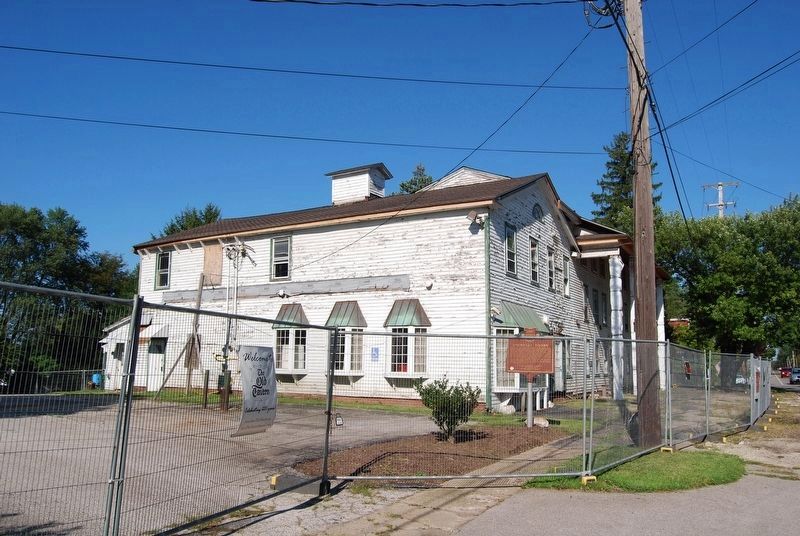
3. Unionville Tavern Marker
Photographed by Craig Doda, May 2, 2026
4. Unionville Tavern
Credits. This page was last revised on May 11, 2026. It was originally submitted on September 2, 2018, by Mike Wintermantel of Pittsburgh, Pennsylvania. This page has been viewed 791 times since then and 69 times this year. Photos: 1. submitted on September 2, 2018, by Mike Wintermantel of Pittsburgh, Pennsylvania. 2, 3. submitted on December 22, 2020, by Mike Wintermantel of Pittsburgh, Pennsylvania. 4. submitted on May 7, 2026, by Craig Doda of Napoleon, Ohio.
