Near Coeur d'Alene in Kootenai County, Idaho — The American West (Mountains)
Coeur d'Alene Lake
Photographed by Barry Swackhamer, May 9, 2018
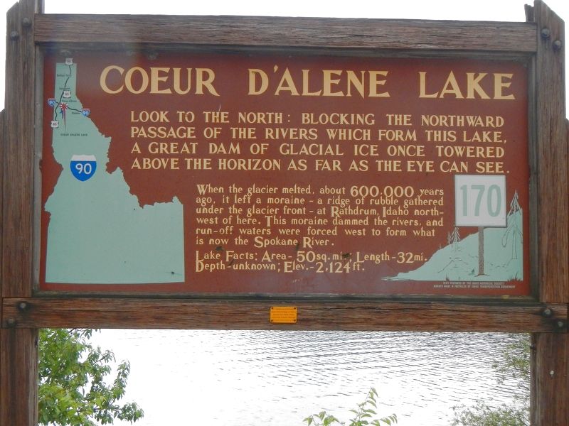
1. Coeur d'Alene Lake Marker
When the glacier melted, about 600,000 years ago, it left a moraine - a ridge of rubble gathered under the glacier front - at Rathdrum, Idaho northwest of here. This moraine dammed the rivers, and run-off waters were forced west to form what is now the Spokane River.
Lake Facts: Area - 50 sq. mi.; Length - 32 mi.; Depth - unknown; Elev. - 2,124 ft.
Erected by Idaho Department of Transportation. (Marker Number 170.)
Topics and series. This historical marker is listed in these topic lists: Natural Features • Waterways & Vessels. In addition, it is included in the Idaho State Historical Society series list.
Location. 47° 37.086′ N, 116° 39.12′ W. Marker is near Coeur d'Alene, Idaho, in Kootenai County. It is on State Highway 97 at milepost 96 near East Wolf Lodge Bay Road, on the left when traveling north. Touch for map. Marker is at or near this postal address: 6700 Idaho Highway 97, Coeur
this page online

Regionally, this marker is in North Idaho — Idaho’s Panhandle and in Greater Spokane. It is also in the American Mountain West and specifically in the Pacific Northwest. Globally, it is in North America, the Western Hemisphere, the Western World, and the Anglosphere.
Other nearby markers. At least 8 other markers are within 14 miles of this marker, measured as the crow flies: Lake Steamers (approx. 4.4 miles away); The Mullan Road (approx. 6.3 miles away); Tubbs Hill (approx. 7 miles away); Fort Sherman (approx. 7.6 miles away); Fort Sherman Chapel (approx. 7.8 miles away); "Big Hank Cabin" (approx. 8 miles away); Fort Sherman Powder Magazine (approx. 8 miles away); Submerged Valley (approx. 13.1 miles away). Touch for a list and map of all markers in Coeur d'Alene.
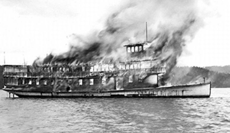
Also see . . . Lake Coeur d'Alene. A number of Ford Model T automobiles sitting on the bottom of the lake are the result of people in the early 1900s choosing to drive in winter across the frozen lake. But they did not always judge how thick the ice was, and went through. Steamboats on the bottom resulted from being burned and sunk as wrecks when they were no longer of use to ferry people around the lake. Since the late 20th century, divers frequently visit these ruins on the bottom as part of their recreation.
Photographed by Barry Swackhamer, May 9, 2018
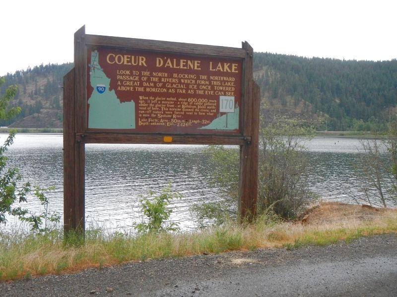
2. Coeur d'Alene Lake Marker
Photographed by Museum of North Idaho
3. Last Voyage of the Flyer
Credits. This page was last revised on September 3, 2018. It was originally submitted on September 3, 2018, by Barry Swackhamer of Brentwood, California. This page has been viewed 824 times since then and 60 times this year. Photos: 1, 2, 3. submitted on September 3, 2018, by Barry Swackhamer of Brentwood, California.
