Saint Marys in Pottawatomie County, Kansas — The American Midwest (Upper Plains)
The Great Military Road
Photographed by Cosmos Mariner, September 7, 2017
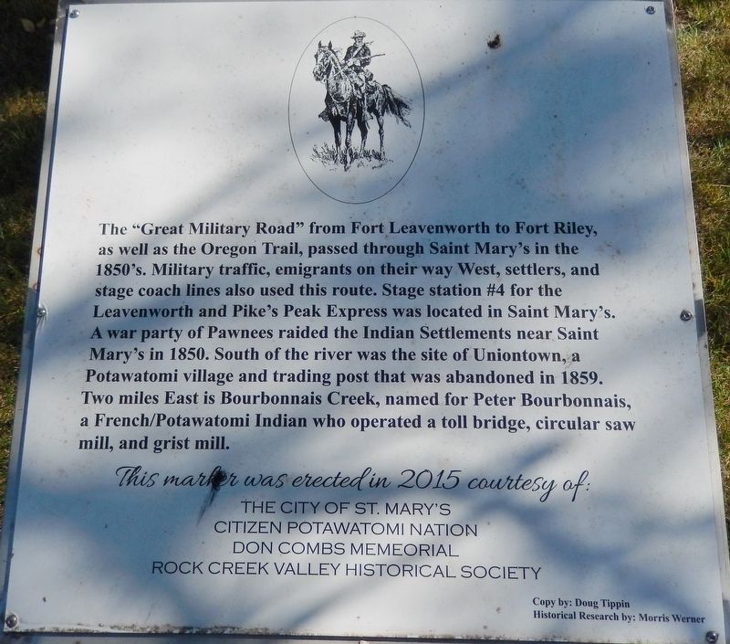
1. The Great Military Road Marker
The “Great Military Road” from Fort Leavenworth to Fort Riley, as well as the Oregon Trail, passed through Saint Mary's in the 1850's. Military traffic, emigrants on their way West, settlers, and stage coach lines also used this route. Stage station #4 for the Leavenworth and Pike's Peak Express was located in Saint Mary's. A war party of Pawnees raided the Indian Settlements near Saint Mary's in 1850. South of the river was the site of Uniontown, a Potawatomi village and trading post that was abandoned in 1859. Two miles East is Bourbonnais Creek, named for Peter Bourbonnais, a French/Potawatomi Indian who operated a toll bridge, circular saw mill, and grist mill.
The City of St. Mary’s
Citizen Potawatomi Nation
Don Combs Memorial
Rock Creek Valley Historical Society
Copy by: Doug Tippin
Historical Research by: Morris Werner
Erected 2015 by City of St. Mary's, Citizen Potawatomi Nation, Don Combs Memorial, & Rock Creek Valley Historical Society.
Topics. This historical marker is listed in these topic lists: Indigenous Peoples and Communities • Roads & Vehicles
this page online
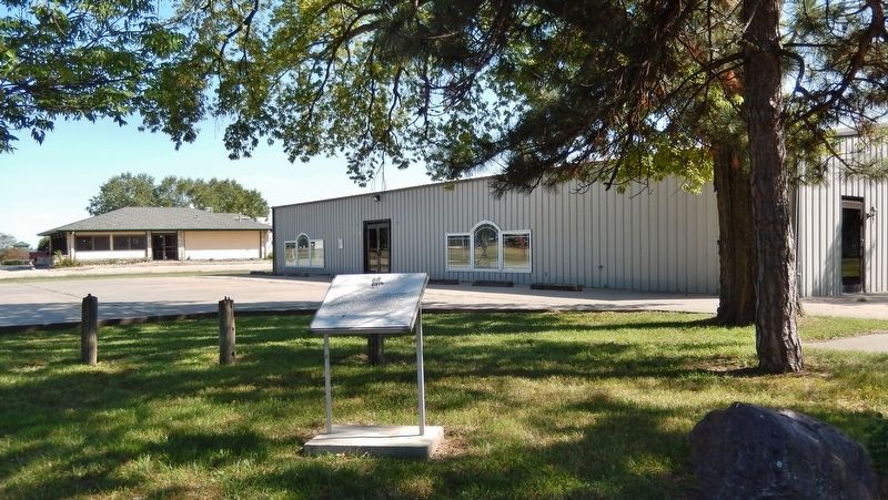
Location. 39° 11.412′ N, 96° 3.624′ W. Marker is in Saint Marys, Kansas, in Pottawatomie County. It is at the intersection of East Bertrand Avenue (U.S. 24) and Grand Avenue, on the right when traveling east on East Bertrand Avenue. Marker is located in the small turn-out plaza at the southeast corner of the intersection. Touch for map. Marker is in this post office area: Saint Marys KS 66536, United States of America. Touch for directions.

Regionally, this marker is in Eastern Kansas and specifically in Bleeding Kansas Border War Country. It is also in the American Midwest, in the Corn Belt, on the prairies, and on the Southern Plains. Globally, it is in North America, the Western Hemisphere, the Western World, and the Anglosphere. Historically, it finds itself in what was once the Louisiana Purchase.
Other nearby markers. At least 8 other markers are within 7 miles of this marker, measured as the crow flies: St. Marys (here, next to this marker); Site of the Oregon Trail (about 400 feet away, measured in a direct line); Indian Pay Station Museum
Photographed by Cosmos Mariner, September 7, 2017
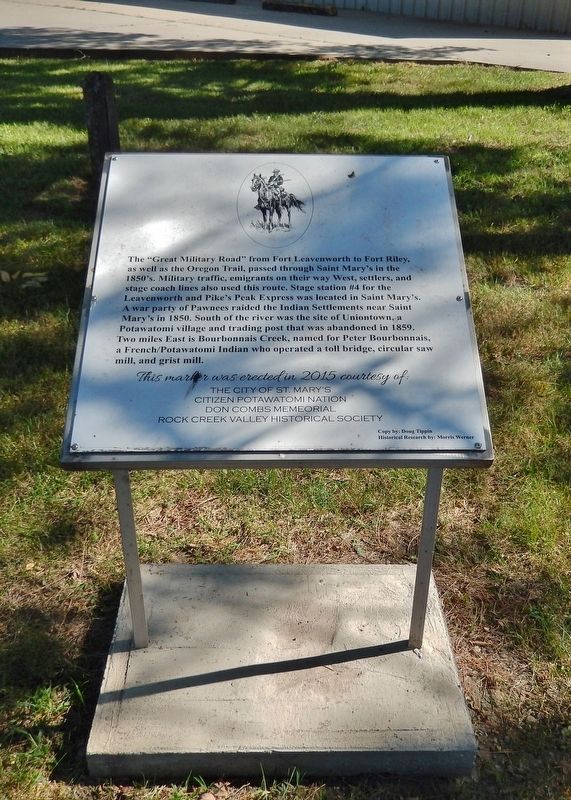
2. The Great Military Road Marker (tall view)
More about this marker. Marker is a large metal plaque, mounted horizontally on waist-high posts.
Related markers. Click here for a list of markers that are related to this marker. Fort Leavenworth - Fort Riley Military Road
Also see . . . History of the Frontier Trails of Kansas. Legends of America website entry:
Prior to the organization of the Kansas Territory, there were a few well-traveled roads, notably the Santa Fe, Oregon, California, and Mormon Trails. Shortly after the establishment of Fort Riley, a line of communication was established between Fort Leavenworth and that post, which later was extended to Fort Larned. (Submitted on September 4, 2018, by Cosmos Mariner of Cape Canaveral, Florida.)
Photographed by Cosmos Mariner, September 7, 2017
3. The Great Military Road Marker (wide view)
Credits. This page was last revised on May 6, 2023. It was originally submitted on September 4, 2018, by Cosmos Mariner of Cape Canaveral, Florida. This page has been viewed 1,130 times since then and 69 times this year. Photos: 1, 2, 3. submitted on September 4, 2018, by Cosmos Mariner of Cape Canaveral, Florida. • Bill Pfingsten was the editor who published this page.
