Fort Oglethorpe in Catoosa County, Georgia — The American South (South Atlantic)
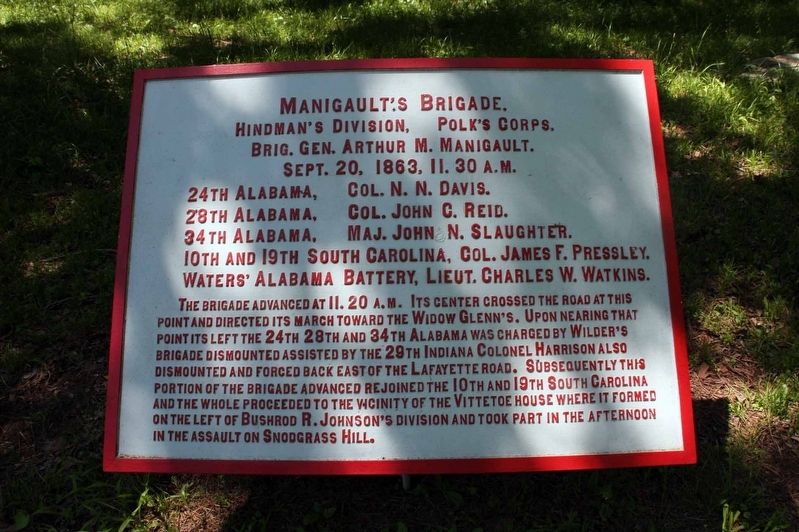
Manigault's Brigade
Hindman's Division
| — | Polk's Corps | — |
Photographed by Byron Hooks, May 4, 2011
1. Manigault's Brigade Marker
Hindman's Division, -- Polk's Corps.
Brig. Gen. Arthur M. Manigault.
Sept. 20, 1863, 11:30 A. M.
24th Alabama, Col. N.N. Davis.
28th Alabama, Col. John C. Reid.
34th Alabama, Col. John N. Slaughter.
10th and 19th South Carolina, Col. James F. Pressley.
Waters' Alabama Battery, Lieut. Charles W. Watkins.
The brigade advanced at 11:20 A.M. Its center crossed the road at this point and directed its march towards the Widow Glenn’s. Upon nearing that point its left the 24th 28th and 34th Alabama was charged by Wilder’s brigade dismounted assisted by the 29th Indiana Colonel Harrison also dismounted and forced back east of the Lafayette Road. Subsequently this portion of the brigade advanced rejoining the 10th and the 19th South Carolina and the whole proceeded to the vicinity of the Vittetoe house where it formed on the left of Bushrod R. Johnson’s division and took part in the afternoon in the assault on Snodgrass Hill.
Erected 1890 by War Department. (Marker Number MT-1200.)
Topics. This historical marker is listed in these topic lists: Parks & Recreational Areas • War, US Civil. A significant historical date for this entry is September 20, 1863.
Location. 34° 54.518′ N,
this page online

Regionally, this marker is in the Mountains. It is also in the American South and specifically in the Deep South. Globally, it is in North America, the Western Hemisphere, the Western World, and the Anglosphere. Historically, it finds itself in what was once the original Cherokee Nation, the territory of the Mississippian Culture, one of the original Thirteen Colonies, one of the Confederate States of America, and the Antebellum South.
Other nearby markers. At least 8 other markers are within walking distance of this marker: Sirwell's Brigade. (within shouting distance of this marker); Carlin's Brigade (within shouting distance of this marker); Anderson's Brigade (about
Photographed by Byron Hooks, May 4, 2011
2. Manigault's Brigade Marker
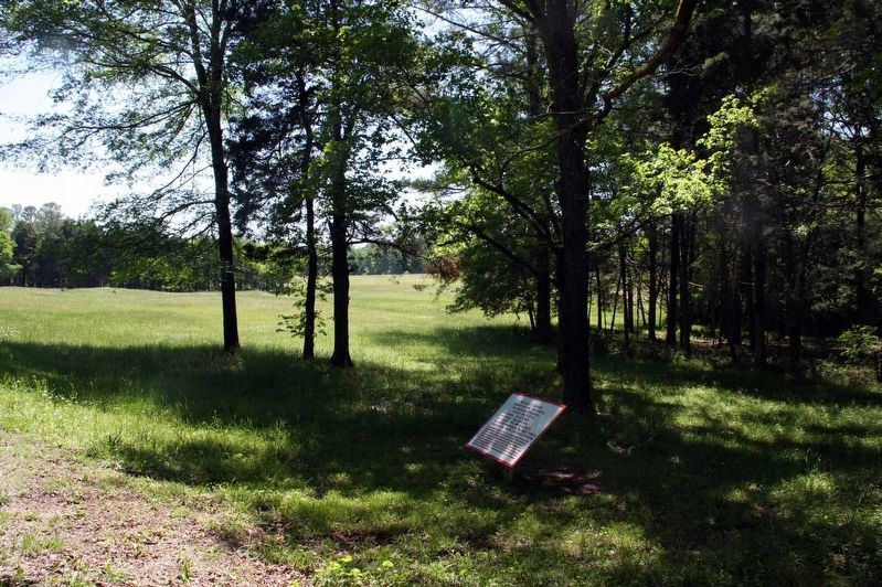
View, looking south west, of the Manigault's Brigade Tablet. The Glenn Filed is visible in the background.
More about this marker. The plaques on the Chickamauga Battlefield were installed by the War Department in 1890. This plaque is red indicating it is for a Confederate unit. Plaques are listed in the NPS List of Classified Structures as a batch input, Structure Number HS-Batch-3.
Also see . . .
1. Death Knell of the Confederacy. Chickamauga and Chattanooga National Military Park. (Submitted on September 8, 2018, by Byron Hooks of Sandy Springs, Georgia.)
2. Battle of Chickamauga. Overview of the battle provided by the American Battlefield Trust. (Submitted on September 8, 2018, by Byron Hooks of Sandy Springs, Georgia.)
Credits. This page was last revised on October 20, 2020. It was originally submitted on September 8, 2018, by Byron Hooks of Sandy Springs, Georgia. This page has been viewed 629 times since then and 50 times this year. Photos: 1, 2. submitted on September 8, 2018, by Byron Hooks of Sandy Springs, Georgia. • Andrew Ruppenstein was the editor who published this page.
