Near Kooskia in Idaho County, Idaho — The American West (Mountains)
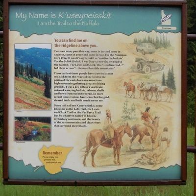
My Name is K'useynisskit
I am the Trail of the Buffalo
Photographed by Barry Swackhamer, May 10, 2018
1. My Name is K'useynisskit Marker
Captions: (upper left) Bald Man.; (lower left) Weitas Meadows.
Erected by U.S. Forest Service, Clearwater National Forest.
Topics. This historical
this page online
Location. 46° 27.036′ N, 115° 5.04′ W. Marker is near Kooskia, Idaho, in Idaho County. It is on U.S. 12 at milepost 140 near Gravey Creek/Saddle Camp Road (Forest Road 107), on the right when traveling west. Touch for map. Marker is in this post office area: Kooskia ID 83539, United States of America. Touch for directions.

Regionally, this marker is in North Idaho — Idaho’s Panhandle. It is also in the American Mountain West, specifically in the Pacific Northwest, and in the Lewis & Clark Corridor. Globally, it is in North America, the Rocky Mountains, the Western Hemisphere, the Western World, and the Anglosphere.
Other nearby markers. At least 7 other markers are within 8 miles of this marker, measured as the crow flies: Nimiipuum Wetes (here, next to this marker); Smoking Place (approx. 4.2 miles away); Nímíípuu and Selish (approx. 4.4 miles away); Howard Camp (approx. 5.6 miles away); Welcome to Colgate Licks (approx. 6.9 miles away); Green Swoard Camp (approx. 7½ miles away);
Photographed by Barry Swackhamer, May 10, 2018
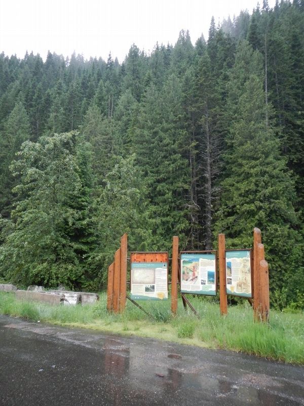
2. My Name is K'useynisskit Marker
The marker is at the right.
Credits. This page was last revised on September 11, 2018. It was originally submitted on September 11, 2018, by Barry Swackhamer of Brentwood, California. This page has been viewed 426 times since then and 31 times this year. Photos: 1, 2. submitted on September 11, 2018, by Barry Swackhamer of Brentwood, California.
