Near Kooskia in Idaho County, Idaho — The American West (Mountains)
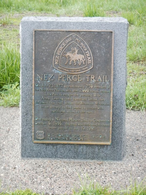
Nez Perce Trail
Designated a National Historic Trail by Congress on October 6, 1986, this trail was dedicated to these brave people on July 19, 1991
Erected by United States Department of Agriculture, U.S. Forest Service, Northern Region.
Topics and series. This historical marker is listed in these topic lists: Native Americans • Wars, US Indian. In addition, it is included in the The Nez Perce Trail series list. A significant historical date for this entry is July 23, 1877.
Location. 46° 38.064′ N, 114° 34.653′ W. Marker is near Kooskia, Idaho, in Idaho County. Marker can be reached from the intersection of U.S. 12 and Elk Meadows Road, on the left when traveling east. Touch for map. Marker is at or near this postal address: 44000 US Highway 12, Kooskia ID 83539, United States of America. Touch for directions.
Other nearby markers. At least 8 other markers are within 11 miles of this marker, measured as the crow flies. Lewis and Clark (within shouting distance of this marker); Lolo Summit (about 300 feet away, measured in a direct line); Lewis and Clark Route (approx. 1.1 miles away); Lolo Trail Crossing (approx. 2.8 miles away); Checkerboard Legacy (approx. 2.9 miles away); Soldiers as Naturalists (approx. 8.2 miles away in Montana); Cycles and Circles (approx. 10.7 miles away in Montana); a different marker also named Lewis and Clark Route (approx. 10.9 miles away). Touch for a list and map of all markers in Kooskia.
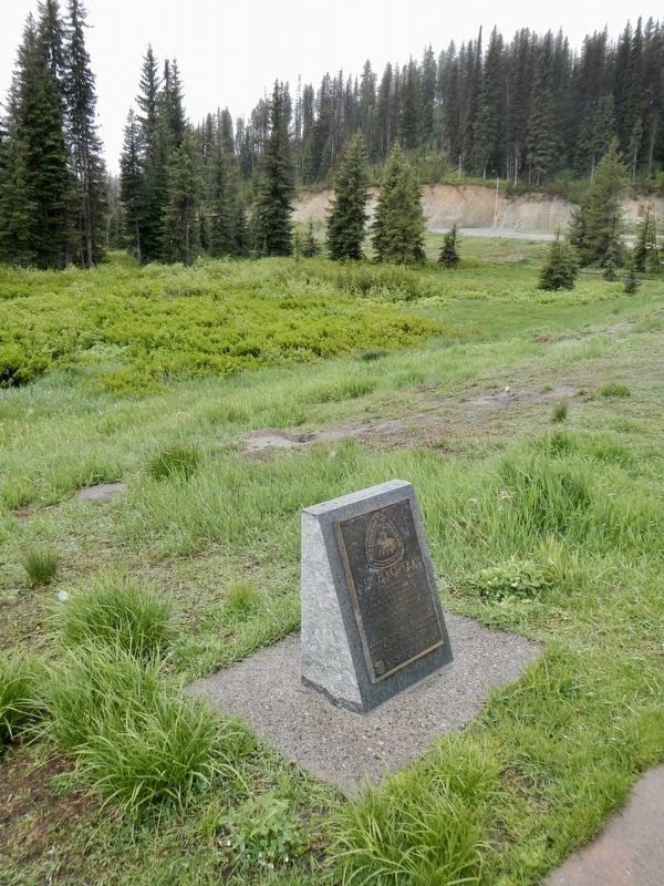
More about this marker. This marker is located behind the Lolo Pass Visitor Center.
Credits. This page was last revised on September 12, 2018. It was originally submitted on September 12, 2018, by Barry Swackhamer of Brentwood, California. This page has been viewed 209 times since then and 18 times this year. Photos: 1, 2. submitted on September 12, 2018, by Barry Swackhamer of Brentwood, California.

