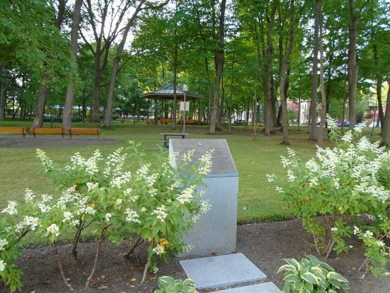
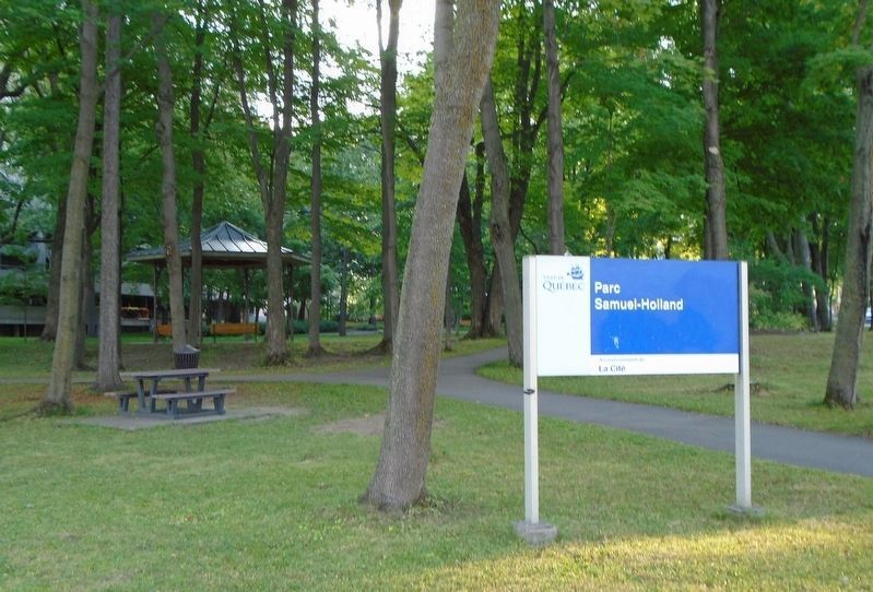
Parc Samuel-Holland / Samuel Holland Park
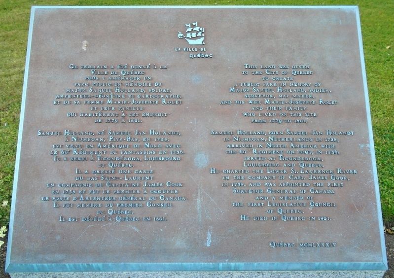
Ville de Québec
pour y aménager un
parc public en mémoire du
major Samuel Holland, soldat,
arpenteur-géomètre et cartographe,
et da sa femme Marie-Josephte Rolet
et leur famille
qui habitèrent à cet endroit
de 1779 à 1801.
Samuel Holland, né Samuel Jan Holandt,
à Nijmegan, Pays-Bas, en 1728,
est venu en Amérique du Nord avec
le 60e Régiment de fantassins en 1756.
Il a servi à Ticondéroga, Louisbourg
et Québec.
Il a dressé une carte
due bas Saint-Laurent
en compagne du Capitaine James Cook
en 1758 et fut le premier à occuper
le poste d'Arpenteur général du Canada.
Il fut membre du premier Conseil
de Québec.
Il est décédé à Québec en 1801.
————————————
This land was given
to the City of Quebec
to create
a public park in memory of
Major Samuel Holland, so[l]dier,
surveyor, map maker,
and his wife, Marie-Josephte Rolet
and their family
who lived on this site
from 1779 to 1801.
Samuel Holland, born Samuel Jan Holandt
in Nijmeg[e]n, Netherlands in 1728,
arrived in North America with
the 60th Regiment [of] Foot, in 1756,
served
Louisbourg and Quebec.
He charted the Lower St. Lawrence River
in the company of Capt. James Cook,
in 1758, and was appointed the first
Surveyor General of Canada
and a member of
the first Legislative Council
of Quebec.
He died in Quebec in 1801.
Erected 1984 by la Ville de Québec.
Topics. This historical marker is listed in these topic lists: Colonial Era • Exploration • Patriots & Patriotism • War, French and Indian. A significant historical year for this entry is 1779.
Location. 46° 47.725′ N, 71° 15.156′ W. Marker is in Québec, in Communauté-Urbaine-de-Québec. It is in Saint-Sacrement. Marker is on chemin Sainte-Foy just east of avenue Holland, on the right when traveling east. Touch for map. Marker is in this post office area: Québec G1S 4S5, Canada. Touch for directions.
Other nearby markers. At least 8 other markers are within 3 kilometers of this marker, measured as the crow flies. Samuel Johannes Holland (about 90 meters away, measured in a direct line); Naval Brigades Review (approx. 1.9 kilometers away); Albert H.G. Grey (approx. 1.9 kilometers away); National Eucharistic Congress (approx. 2.1 kilometers away); Wolfe Monument (approx. 2.2 kilometers away); Pavillon Charles-Baillairgé (approx. 2.2 kilometers
Also see . . .
1. Major Samuel Holland at Dictionary of Canadian Biography. (Submitted on September 15, 2018, by William Fischer, Jr. of Scranton, Pennsylvania.)
2. Samuel Holland, Canada's first Surveyor-General. (Submitted on September 15, 2018, by William Fischer, Jr. of Scranton, Pennsylvania.)
Credits. This page was last revised on February 9, 2023. It was originally submitted on September 15, 2018, by William Fischer, Jr. of Scranton, Pennsylvania. This page has been viewed 280 times since then and 33 times this year. Photos: 1, 2. submitted on September 15, 2018, by William Fischer, Jr. of Scranton, Pennsylvania. 3. submitted on September 16, 2018, by William Fischer, Jr. of Scranton, Pennsylvania.


