Samuel Johannes Holland
(1728-1801)
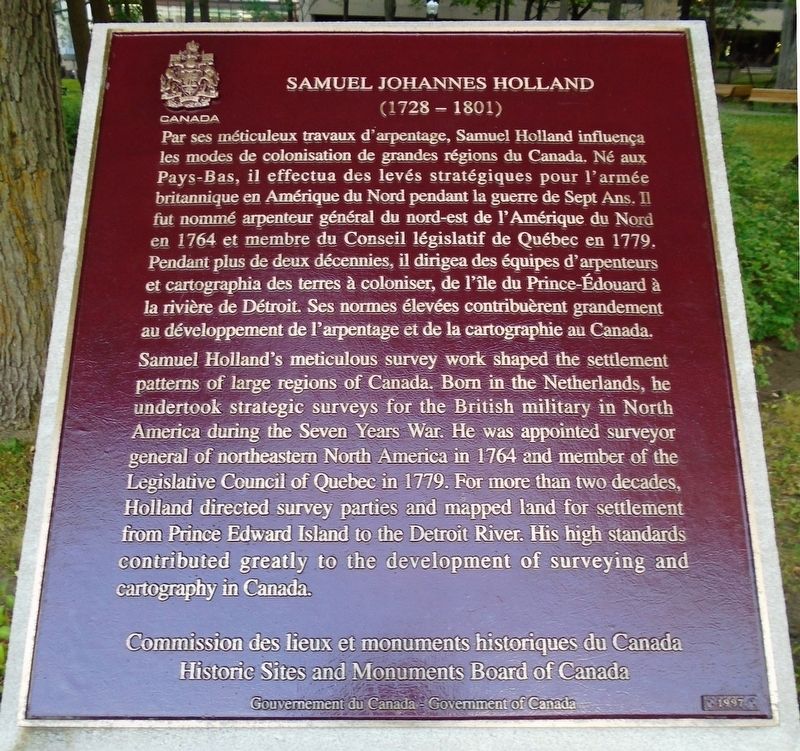
Par ses méticuleux travaux d'arpentage, Samuel Holland influença les modes de colonisation de grandes régions du Canada. Né aux Pays-Bas, il effectua des levés stratégiques pour l'armée britannique en Amérique du Nord pendant la guerre de Sept Ans. Il fut nommé arpenteur général du nord-est de l'Amérique du Nord en 1764 et membre du Conseil législatif de Québec en 1779. Pendant plus de deux décennies, il dirigea des équipes d'arpenteurs et cartographia des terres à coloniser, de l'île du Prince-Édouard à la rivière de Détroit. Ses normes élevées contribuèrent grandement au développement de l'arpentage et de la cartographie au Canada.
Samuel Holland's meticulous survey work shaped the settlement patterns of large regions of Canada. Born in the Netherlands, he undertook strategic surveys for the British military in North America during the Seven Years War. He was appointed surveyor general of northeastern North America in 1764 and member of the Legislative Council of Quebec in 1779. For more than two decades, Holland directed survey parties and mapped land for settlement from Prince Edward Island to the Detroit River.
this page online
Erected 1997 by Commission des lieux et monuments historiques du Canada / Historic Sites and Monuments Board of Canada.
Topics and series. This historical marker is listed in these topic lists: Colonial Era • Exploration • Patriots & Patriotism • War, French and Indian. In addition, it is included in the Canada, Historic Sites and Monuments Board series list. A significant historical year for this entry is 1764.
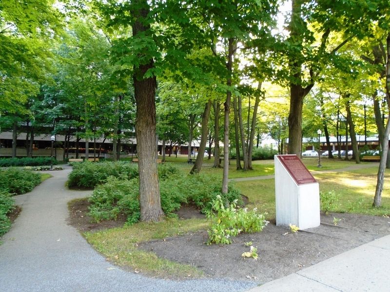
Location. 46° 47.681′ N, 71° 15.145′ W. Marker is in Québec, in Capitale-Nationale. It is in Saint-Sacrement. It is on avenue Holland just south of chemin Sainte-Foy, on the left when traveling south. Touch for map. Marker is at or near this postal address: Av Holland, Québec G1S 4S5, Canada. Touch for directions.

Regionally, this marker is in Central Canada. Globally, it is in North America, the Western Hemisphere, and the Western World. Historically, it finds itself in what was once a British colony, the Viceroyalty of New France, the Haudenosaunee (Iroquois) Confederacy, and Rupert’s Land.
Other nearby markers. At
Also see . . .
1. Samuel Johannes Holland at Dictionary of Canadian Biography. (Submitted on September 15, 2018, by William Fischer, Jr. of Reynoldsburg, Ohio.)
2. Samuel Holland, Canada's first Surveyor-General. (Submitted on September 15, 2018, by William Fischer, Jr. of Reynoldsburg, Ohio.)
Credits. This page was last revised on February 9, 2023. It was originally submitted on September 15, 2018, by William Fischer, Jr. of Reynoldsburg, Ohio. This page has been viewed 432 times since then and 16 times this year. Photos: 1, 2. submitted on September 15, 2018, by William Fischer, Jr. of Reynoldsburg, Ohio.
