Missoula in Missoula County, Montana — The American West (Mountains)
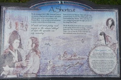
A Shortcut
Captain Lewis in the Missoula Valley
I could not avoid feeling much concern on this occasion although I hoped this seperation (sic) was only momentary."
Lewis arrived in the Missoula Valley with nine men, seventeen horses, five Nez Perce Indian guides and his Newfoundland dog - Seaman. After a near disastrous river crossing, the group spent the night just west of here along Grant Creek.
On the 4th of July, Lewis and his men said farewell to their guides and proceeded east along a "well beaten" Indian road. They reached the great falls in only 9 days - a far cry from the 57 days it had taken on their westbound journey the previous year.
(sidebar on right:)
Since ancient times, the Salish Indians have called themselves "The People." They routinely visited the Missoula Valley to dig up bitterroots and to fish for trout. Their name for the area translates as "Place of the Small Bull Trout."
In 1805, the Bitterroot Salish offered their friendship, food, and horses to the 33 members of the Lewis and Clark Expedition. Ironically, after the 1855 Hell Gate Council the tribe was forced to move to the Flathead Indian Reservation (10 miles north of Missoula) by a treaty they did not sign. Over 60 other northwest tribes were sent to reservation that same year.
Erected by National Park Service.
Topics and series. This historical marker is listed in these topic lists: Environment • Native Americans. In addition, it is included in the Lewis & Clark Expedition series list. A significant historical date for this entry is July 3, 1806.
Location. 46° 52.139′ N, 113° 59.814′ W. Marker is in Missoula, Montana, in Missoula County. Marker can be reached from Carousel Drive near South Higgins Avenue. Touch for map. Marker is at or near this postal address: 123 Carousel Drive, Missoula MT 59802, United States of America. Touch for directions.
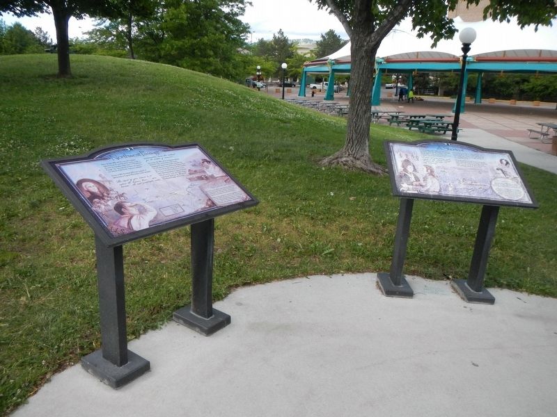
Other nearby markers. At least 8 other markers are within walking distance of this marker. Name That River (here, next to this marker); Northwest Passage (here, next to this marker); Danger Ahead! (a few steps from this marker); Headquarters Building and Daily Company Annex (about 500 feet away, measured in a direct line); Free Speech Corner (about 600 feet away); Elrod Residence (about 700 feet away); Charles E. Johnson Residence (about 800 feet away); Parsons House (about 800 feet away). Touch for a list and map of all markers in Missoula.
More about this marker. This marker is in Caras Park on Riverfront Trail, opposite Brennan's Wave.
Credits. This page was last revised on October 1, 2018. It was originally submitted on September 16, 2018, by Barry Swackhamer of Brentwood, California. This page has been viewed 303 times since then and 41 times this year. Photos: 1, 2. submitted on September 16, 2018, by Barry Swackhamer of Brentwood, California.

