Near Stevensville in Ravalli County, Montana — The American West (Mountains)
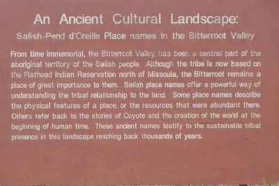
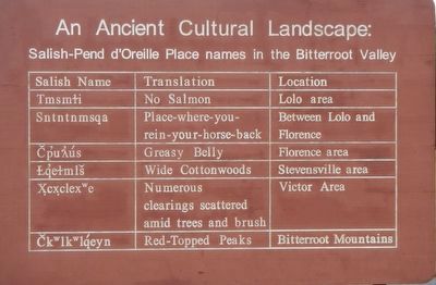
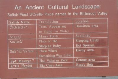
An Ancient Cultural Landscape
Salish-Pend d'Oreille Place names in the Bitterroot Valley
Photographed by Barry Swackhamer, May 11, 2018
1. An Ancient Cultural Landscape Marker
Erected by Montana Department of Transportation.
Topics. This historical marker is listed in these topic lists: Anthropology & Archaeology • Indigenous Peoples and Communities.
Location. 46° 27.75′ N, 114° 7.878′ W. Marker is near Stevensville, Montana, in Ravalli County. It is on U.S. 93 near Indian Prairie Loop. Touch for map. Marker is at or near this postal address: 3100 U.S Highway 93,
this page online

Regionally, this marker is in Western Montana, in Glacier Country, and in Greater Missoula. It is also in the American Mountain West and in the Lewis & Clark Corridor. Globally, it is in North America, the Rocky Mountains, the Western Hemisphere, the Western World, and the Anglosphere. Historically, it finds itself in what was once Rupert’s Land and also the Louisiana Purchase.
Other nearby markers. At least 8 other markers are within 4 miles of this marker, measured as the crow flies: Calvin and Magdalene Cook House (approx. 3½ miles away); Saint Mary's Mission (approx. 3.6 miles away); St. Mary's Mission Historic District (approx. 3.6 miles away); First Baptist Church (approx. 3.7 miles away); Denayer House (approx. 3.7 miles away); Porter & Buck Building (approx. 3.7 miles away); First State Bank Building (approx. 3.7 miles away); Henry Buck/Stevensville Trading Co (approx. 3.8 miles away). Touch for a list and map of all markers in Stevensville.
More about this marker. There are duplicate markers on either side of the highway.
Photographed by Barry Swackhamer, May 11, 2018
2. An Ancient Cultural Landscape Marker
Photographed by Barry Swackhamer, May 11, 2018
3. An Ancient Cultural Landscape Marker
Photographed by Barry Swackhamer, May 11, 2018
4. An Ancient Cultural Landscape Marker
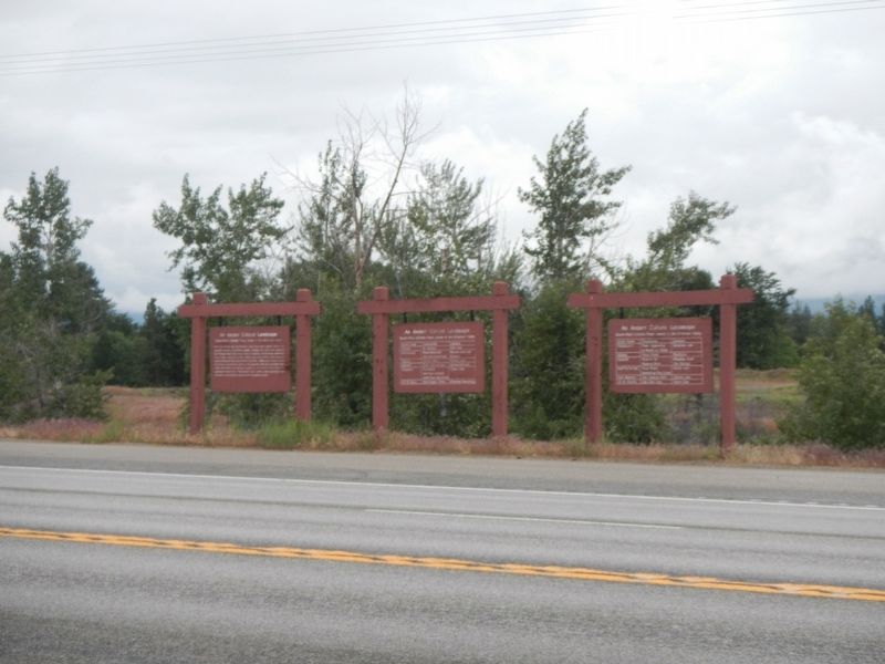
Photographed by Barry Swackhamer, May 11, 2018
5. An Ancient Cultural Landscape Marker
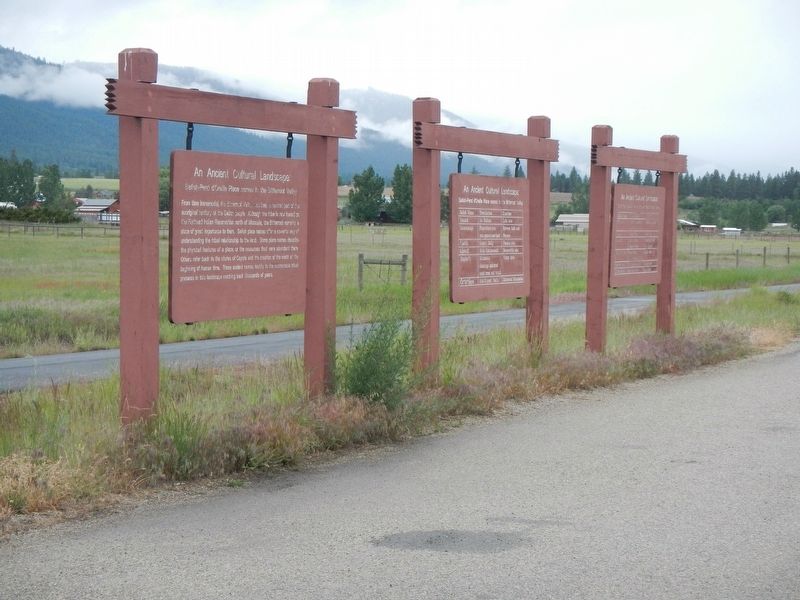
There are duplicate sets of panels on opposite sides of the highway.
Credits. This page was last revised on September 20, 2018. It was originally submitted on September 20, 2018, by Barry Swackhamer of Brentwood, California. This page has been viewed 495 times since then and 46 times this year. Photos: 1, 2, 3, 4, 5. submitted on September 20, 2018, by Barry Swackhamer of Brentwood, California.
