Near Salmon in Lemhi County, Idaho — The American West (Mountains)
Sacajawea
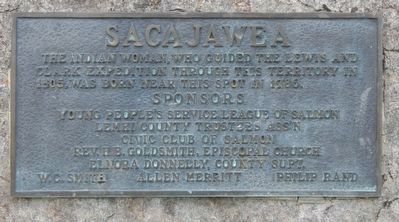
Photographed by Barry Swackhamer, May 11, 2018
1. Sacajawea Marker
Erected by Young People's Service League of Salmon, Lemhi County Trustees Ass'n, Civic Club of Salmon, Rev. H.B. Goldsmith, Episcopal Church, Elnora Donnelly, County Supt., W.C. Smith, Allen Merritt, Philip Rand.
Topics and series. This historical marker is listed in these topic lists: Exploration • Indigenous Peoples and Communities • Women. In addition, it is included in the Lewis & Clark Expedition series list.
Location. 45° 1.555′ N, 113° 39.26′ W. Marker is near Salmon, Idaho, in Lemhi County. It is at the intersection of 17 Mile Road and Back Road (State Road 28), on the left when traveling east on 17 Mile Road. Touch for map. Marker is in this post office area: Salmon ID 83467, United States of America. Touch for directions.

Regionally, this marker is in Central Idaho — Sawtooth Range. It is also in the American Mountain West and in the Lewis & Clark Corridor. Globally, it is in North America, the Rocky Mountains, the
this page online
Other nearby markers. At least 8 other markers are within 3 miles of this marker, measured as the crow flies: MacDonald's Battle (approx. half a mile away); Waters Flowing to the Pacific (approx. half a mile away); The Withington Caldera (approx. 1.9 miles away); Lewis Learns from the Lemhi Shoshone (approx. 1.9 miles away); Meriwether Lewis Makes Contact (approx. 1.9 miles away); Sacajawea Comes Home (approx. 1.9 miles away); William Clark's Scouting Mission (approx. 1.9 miles away); Lewis and Clark (approx. 2.3 miles away). Touch for a list and map of all markers in Salmon.
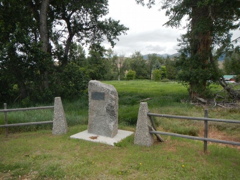
Photographed by Barry Swackhamer, May 11, 2018
2. Sacajawea Marker
Credits. This page was last revised on September 23, 2018. It was originally submitted on September 23, 2018, by Barry Swackhamer of Brentwood, California. This page has been viewed 587 times since then and 49 times this year. Photos: 1, 2. submitted on September 23, 2018, by Barry Swackhamer of Brentwood, California.
