Cottonwood Heights in Salt Lake County, Utah — The American Mountains (Southwest)
Ern and Molly Green Cabin
Big Cottonwood Canyon Trail
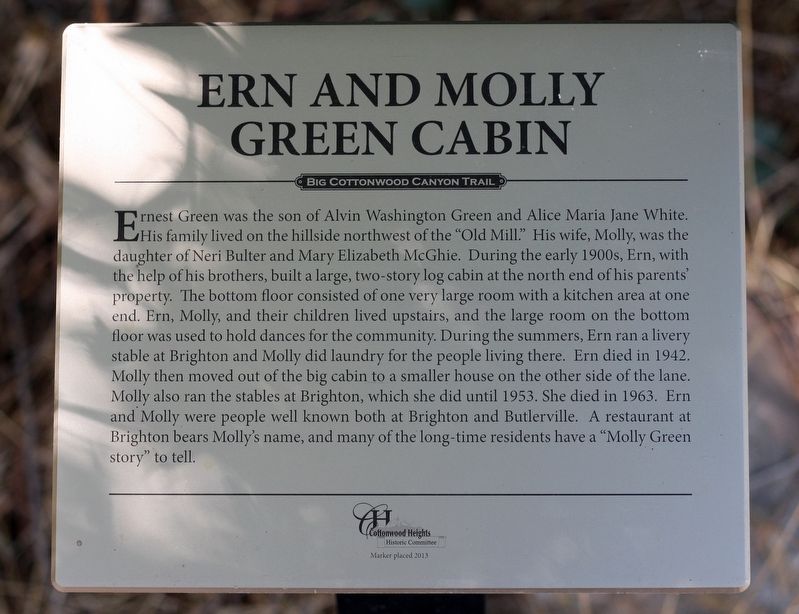
Photographed by Andrew Johnson, September 22, 2018
1. Ern and Molly Green Cabin Marker
Erected 2013 by Cottonwood Heights Historic Committee.
Topics.
this page online
Location. 40° 37.663′ N, 111° 48.059′ W. Marker is in Cottonwood Heights, Utah, in Salt Lake County. It can be reached from Big Cottonwood Canyon Road, on the right when traveling south. The marker is on the Old Mill Bike Path approximately 750 feet southeast of the parking lot at Old Mill Park. Touch for map. Marker is in this post office area: Salt Lake City UT 84121, United States of America. Touch for directions.

Regionally, this marker is in the Wasatch Front and in Greater Salt Lake. It is also in the American Mountain West and on the Colorado Plateau. Globally, it is in North America, the Rocky Mountains, the Western Hemisphere, the Western World, and the Anglosphere. Historically, it finds itself in what was once New Spain and also Mexico’s Alta California.
Other nearby markers. At least 8 other markers are within walking distance of this marker: Cedar Tree (within shouting distance of this marker); Silica Beds (within shouting
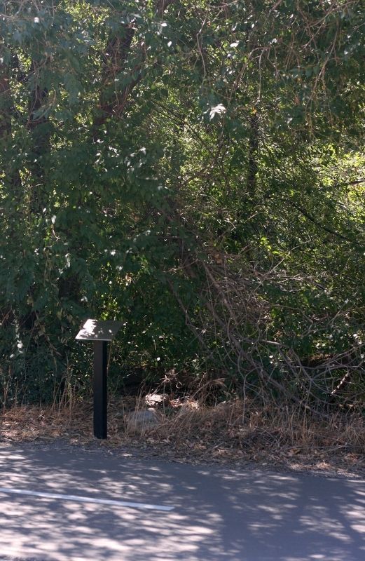
Photographed by Andrew Johnson, September 22, 2018
2. Ern and Molly Green Cabin Marker
Credits. This page was last revised on December 23, 2019. It was originally submitted on September 23, 2018, by Andrew Johnson of Salt Lake City, Utah. This page has been viewed 1,160 times since then and 74 times this year. Photos: 1, 2. submitted on September 23, 2018, by Andrew Johnson of Salt Lake City, Utah. • Syd Whittle was the editor who published this page.
