Eddyville in Lyon County, Kentucky — The American South (East South Central)
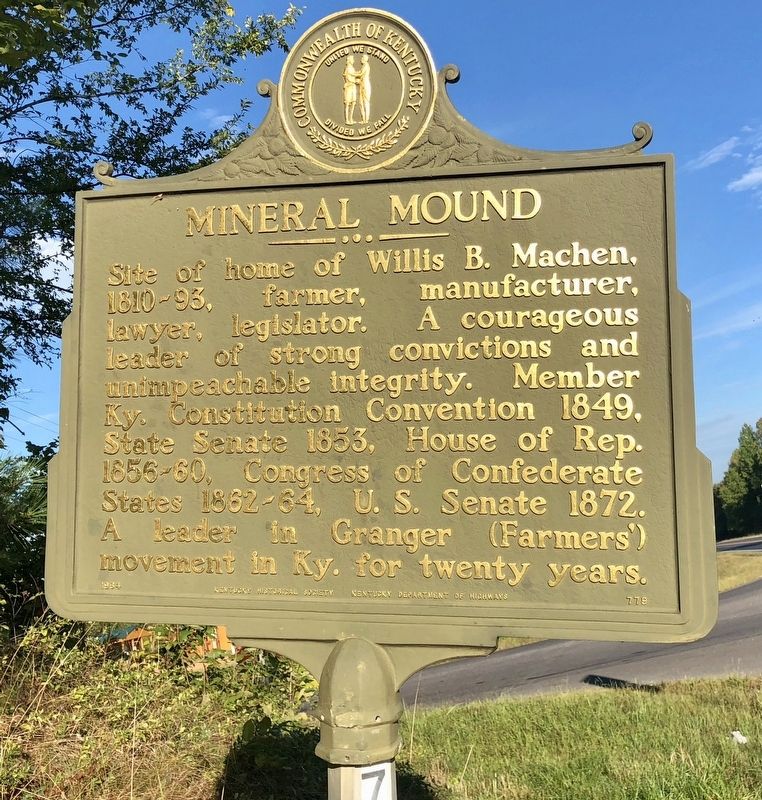
Mineral Mound
Erected 1964 by the Kentucky Historical Society Kentucky Department of Highways. (Marker Number 779.)
Topics and series. This historical marker is listed in these topic lists: Agriculture • Industry & Commerce • War, US Civil. In addition, it is included in the Kentucky Historical Society series list. A significant historical year for this entry is 1849.
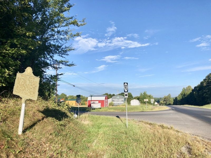
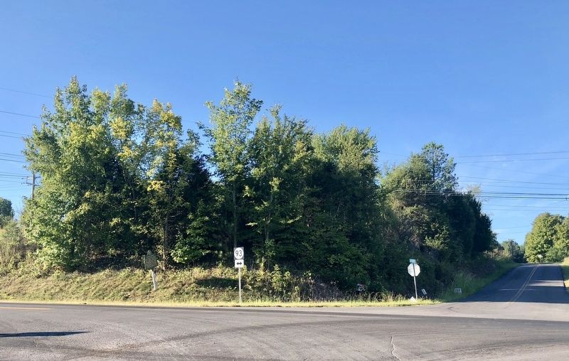
Location. 37° 4.687′ N, 88° 4.174′ W. Marker is in Eddyville, Kentucky, in Lyon County. Marker is at the intersection of Kentucky Route 93 and Gregory Road, on the right when traveling south on State Route 93. Touch for map. Marker is in this post office area: Eddyville KY 42038, United States of America. Touch for directions.
Other nearby markers. At least 8 other markers are within 3 miles of this marker, measured as the crow flies. Andrew Jackson Smith (approx. 1.2 miles away); Lyon County, 1854 (approx. 1.3 miles away); In Honor of Cobb's Battery (approx. 1.7 miles away); Eddyville Furnace / Iron Made in Kentucky (approx. 1.7 miles away); Mineral Mound Home Site (approx. 2 miles away); Dr. George M. Huggans (approx. 2.1 miles away); Last Skirmish in Ky. (approx. 2.2 miles away); Rose Hill (approx. 2.2 miles away). Touch for a list and map of all markers in Eddyville.
Credits. This page was last revised on November 20, 2019. It was originally submitted on September 24, 2018, by Mark Hilton of Montgomery, Alabama. This page has been viewed 235 times since then and 26 times this year. Photos: 1, 2, 3. submitted on September 24, 2018, by Mark Hilton of Montgomery, Alabama.


