Canyon Rim in Salt Lake City in Salt Lake County, Utah — The American Mountains (Southwest)
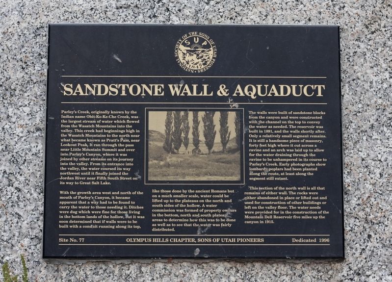
Sandstone Wall & Aquaduct
Photographed by Andrew Johnson, September 23, 2018
1. Sandstone Wall & Aquaduct Marker
With the growth area west and north of the mouth of Parley's Canyon, it became apparent that a way had to be found to carry the water to those needing it. Ditches were dug which were fine for those living in the bottom lands of the hollow, but it was soon determined that if walls were to be built with a conduit running along its top, like those done by the ancient Romans but on a much smaller scale, water could be lifted up to the plateaus on the north and south sides of the hollow. A water commission was formed of property
this page online
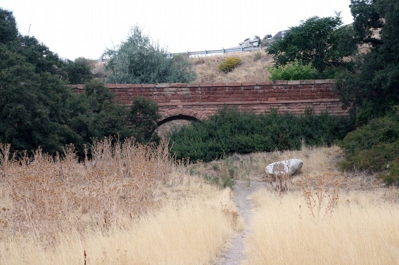
The walls were built of sandstone blocks from the canyon and were constructed with the channel on the topo to convey the water as needed. The reservoir was built in 1891, and the walls shortly after. Only a relatively small segment remains. It is still a handsome piece of masonry, forty feet high where it cut across a ravine and an arch was laid up to allw for the water draining through the ravine to be unhampered in its course to Parley's Creek. Early photographs show lombardy poplars had been planted along the route, at least along the segment still extant.
This section of the north wall is all that remains of either wall. The rocks were either abandoned in place or lifted out and used for construction of other buildings or left on the valley floor. The water needs were provided for in the construction of the Mountain Dell Reservoir five miles up the canyon in 1915.
Erected 1996 by Olympus Hills Chapter, Sons of Utah Pioneers. (Marker Number 77.)
Topics and series. This
Photographed by Andrew Johnson, September 23, 2018
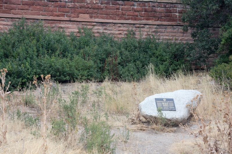
2. Sandstone Wall and Marker
Location. 40° 42.699′ N, 111° 48.37′ W. Marker is in Salt Lake City, Utah, in Salt Lake County. It is in Canyon Rim. It can be reached from East Ieightyeast Freeway. Marker can be reached by traveling approximately 3,600 feet east along Parley's Trail from Tanner Park. Touch for map. Marker is in this post office area: Salt Lake City UT 84109, United States of America. Touch for directions.

Regionally, this marker is in the Wasatch Front and in Greater Salt Lake. It is also in the American Mountain West and on the Colorado Plateau. Globally, it is in North America, the Rocky Mountains, the Western Hemisphere, the Western World, and the Anglosphere. Historically, it finds itself in what was once New Spain and also Mexico’s Alta California.
Other nearby markers. At least 8 other markers are within 2 miles of this marker, measured as the crow flies: Dudler's Inn (within shouting distance of this marker); Dudler's Wine Cellar
Photographed by Andrew Johnson, September 23, 2018
3. Sandstone Wall and Marker
Photographed by Andrew Johnson, September 23, 2018
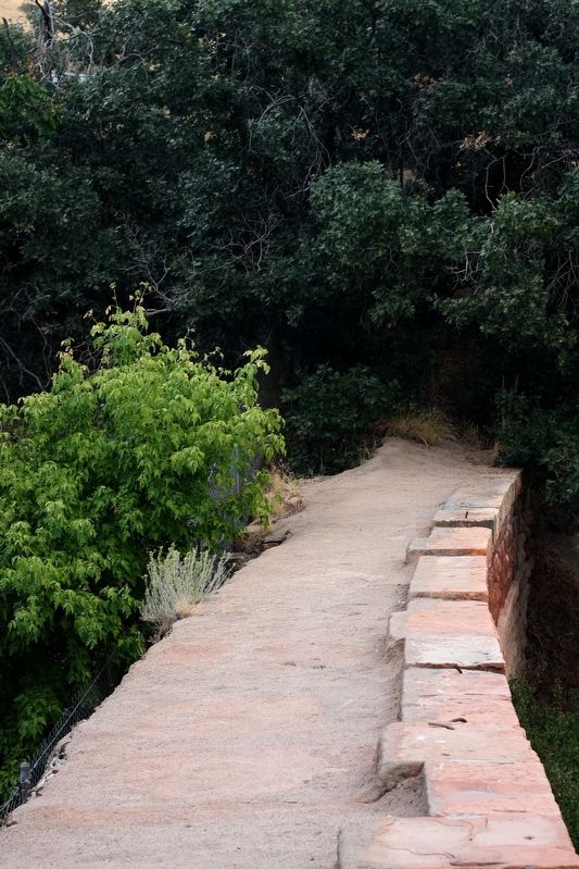
4. Top of the Sandstone Wall
Credits. This page was last revised on February 16, 2023. It was originally submitted on September 24, 2018, by Andrew Johnson of Salt Lake City, Utah. This page has been viewed 1,118 times since then and 43 times this year. Photos: 1, 2, 3, 4. submitted on September 24, 2018, by Andrew Johnson of Salt Lake City, Utah. • Andrew Ruppenstein was the editor who published this page.
