Plymouth, England, United Kingdom — Northwestern Europe (the British Isles)
Royal Visit
Photographed by Michael Herrick, August 4, 2018
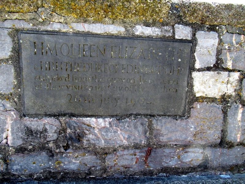
1. Royal Visit Marker
HRH The Duke of Edinburgh
embarked from this quay on the occcasion
of Their visit to the City of Plymouth on
26th July 1962
Topics. This historical marker is listed in these topic lists: Waterways & Vessels • Women. A significant historical date for this entry is July 26, 1962.
Location. 50° 21.973′ N, 4° 8.011′ W. Marker is in Plymouth, England. It can be reached from the intersection of Commercial Road and The Barbican, on the right when traveling north. Touch for map. Marker is in this post office area: Plymouth, England PL1 2NJ, United Kingdom. Touch for directions.

Regionally, this marker is in South West England. Globally, it is on the Atlantic Ocean, in the North Atlantic Region, in Europe, in Atlantic Europe, on one of the British Isles, in the Western World, and in the Anglosphere. Historically, it finds itself in what was once the Roman Empire.
Other nearby markers. At least 8 other markers are within walking distance of this marker: Sir Humphey Gilbert’s Voyage (here, next to this marker); Wreck of the “Sea Venture” (here, next to this marker); The Roanoke Colonies (here, next
this page online
Photographed by Michael Herrick, August 4, 2018
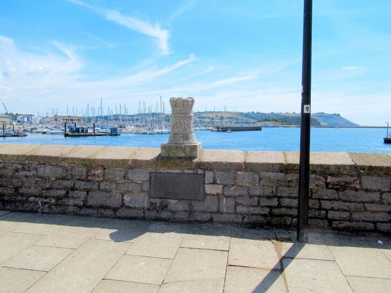
2. Royal Visit Marker
Credits. This page was last revised on January 27, 2022. It was originally submitted on September 27, 2018, by Michael Herrick of Southbury, Connecticut. This page has been viewed 393 times since then and 13 times this year. Photos: 1, 2. submitted on September 27, 2018, by Michael Herrick of Southbury, Connecticut.
