Franklin Lakes in Bergen County, New Jersey — The American Northeast (Mid-Atlantic)
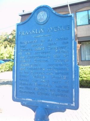
Franklin Avenue
Originated as an Indian trail across land the Redmen called “Campgaw”. It was surveyed during the Revolutionary War by Robert Erskine, George Washington’s mapmaker, and connected settlements in the Ramapo and Saddle River Valleys. Franklin Lakes was once part of Franklin Township, named for New Jersey’s last Royal Governor, William Franklin.
Erected by Bergen County Historical Society. (Marker Number 12.)
Topics and series. This historical marker is listed in these topic lists: Colonial Era • Native Americans • Roads & Vehicles • War, US Revolutionary. In addition, it is included in the New Jersey, Bergen County Historical Society series list.
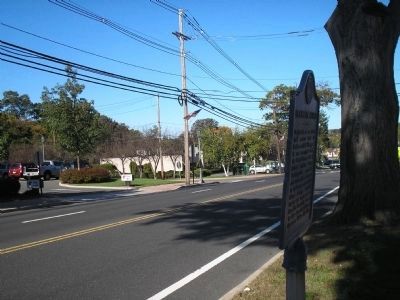
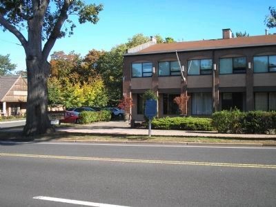
Location. 41° 1.294′ N, 74° 12.346′ W. Marker is in Franklin Lakes, New Jersey, in Bergen County. Marker is on Franklin Avenue, on the right when traveling west. Touch for map. Marker is at or near this postal address: 777 Franklin Avenue, Franklin Lakes NJ 07417, United States of America. Touch for directions.
Other nearby markers. At least 8 other markers are within 2 miles of this marker, measured as the crow flies. Franklin Lakes United Methodist Church (approx. 0.2 miles away); Hendrik Van Allen House (approx. 1.7 miles away); Hendrick Van Allen House (approx. 1.7 miles away); Van Voorhees – Quackenbush – Zabriskie House (approx. 1.7 miles away); Wyckoff Reformed Church (approx. 2 miles away); Dahlgren Gun (approx. 2 miles away); Oakland (approx. 2 miles away); The Ackerman House (approx. 2 miles away).
Also see . . . Bergen County Historical Society. Society website homepage (Submitted on October 12, 2008, by Bill Coughlin of Woodland Park, New Jersey.)
Credits. This page was last revised on December 17, 2021. It was originally submitted on October 12, 2008, by Bill Coughlin of Woodland Park, New Jersey. This page has been viewed 1,631 times since then and 25 times this year. Photos: 1, 2, 3. submitted on October 12, 2008, by Bill Coughlin of Woodland Park, New Jersey.


