East Tawas in Iosco County, Michigan — The American Midwest (Great Lakes)
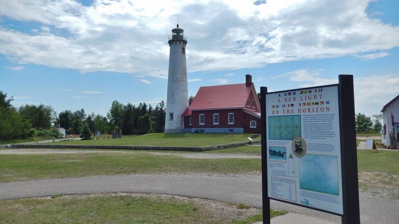
A New Light on the Horizon
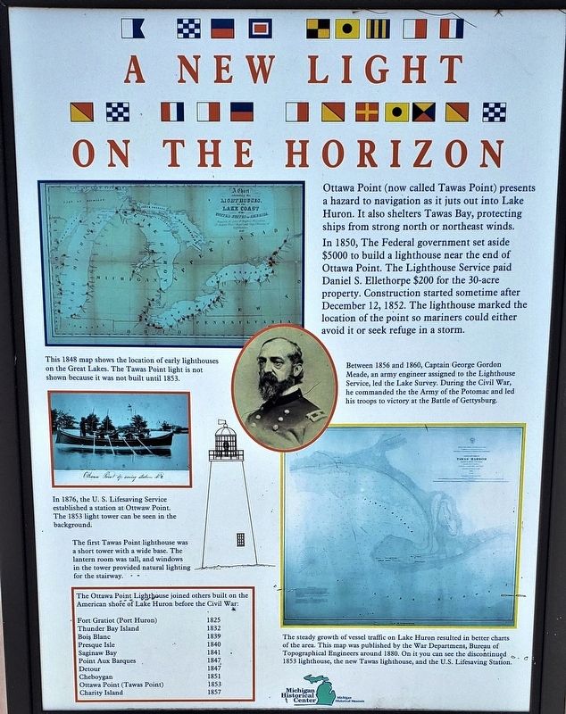
In 1850, The Federal government set aside $5000 to build a lighthouse near the end of Ottawa Point. The Lighthouse Service paid Daniel S. Ellethorpe $200 for the 30-acre property. Construction started sometime after December 12, 1852. The lighthouse marked the location of the point so mariners could either avoid it or seek refuge in a storm.
In 1876, the U. S. Lifesaving Service established a station at Ottawa Point.
The first Tawas Point lighthouse was a short tower with a wide base. The lantern room was tall, and windows in the tower provided natural lighting for the stairway.
The Ottawa Point Lighthouse joined others built on the American shore of Huron before the Civil War:
Presque Isle 1840; Saginaw Bay 1841; Point Aux Barques 1847; Detour 1847;
Cheboygan 1851; Ottawa Point (Tawas Point) 1853; Charity Island 1857
Erected by Michigan Historical Center & Michigan Historical Museum.
Topics and series. This historical marker is listed in these topic lists: Industry & Commerce • Waterways & Vessels. In addition, it is included in the Lighthouses series list.
Location. 44° 15.247′ N, 83° 26.943′ W. Marker is in East Tawas, Michigan, in Iosco County. Marker can be reached from Tawas Beach Road, 3˝ miles east of U.S. 23. Marker is located inside Tawas Point State Park, at the end of Tawas Beach Road, along the walking path on the northeast side of the lighthouse. Touch for map. Marker is at or near this postal address: 686 Tawas Beach Road, East Tawas MI 48730, United States of America. Touch for directions.
Other nearby markers. At least 8 other markers are within 3 miles of this marker, measured as the crow flies. Preserving the Light (here, next to this marker); The Changing Shape of Tawas Point (here, next to this marker); Tawas Point Light Station (a few steps from this marker); Double Dwelling (within shouting distance of this marker); Tawas Lighthouse (within shouting distance of this marker); Oil House (within shouting distance of this marker); Earl T. O’Loughlin (approx. 2.6 miles away); East Tawas Veterans Memorial (approx. 2.6 miles away). Touch for a list and map of all markers in East Tawas.
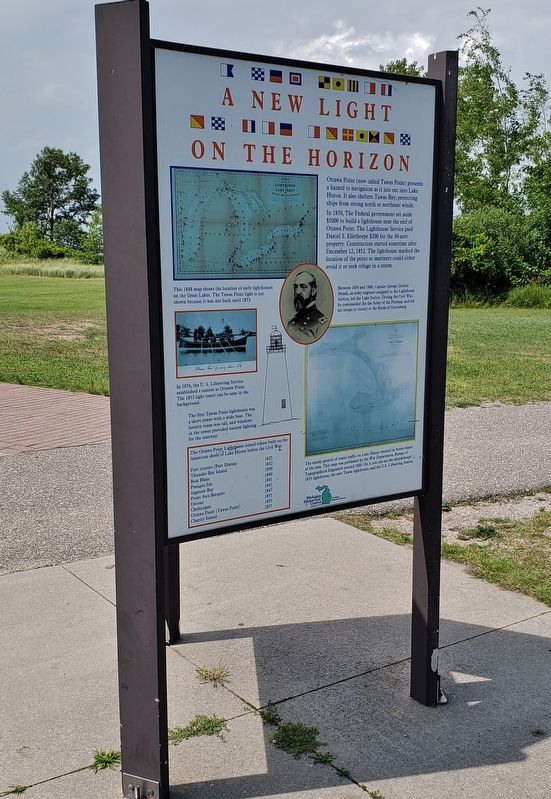
More about this marker. This is a tall, metal, triangular, "kiosk-style"
marker.
Also see . . . Tawas Point Lighthouse. A forty-five-foot-tall, rubblestone tower, which tapered from a diameter of twelve feet at its base to six feet, four inches at its octagonal cast-iron lantern room, was completed in 1952 and, at the opening of navigation in 1853, started displaying a fixed white light produced by seven lamps set in fourteen-inch reflectors. On March 3, 1875, Congress appropriated $30,000 for a “light-house on Ottawa Point, or for range to guide into Tawas Bay, on the northeast shore of Saginaw Bay, to be known as Tawas Light.” The Lighthouse Board decided to build the new lighthouse on a shoal, south of Tawas Point, in four feet of water. Work on the tower and dwelling began on August 12, 1876 and was finished by the end of the year. (Submitted on October 1, 2018, by Cosmos Mariner of Cape Canaveral, Florida.)
July 24, 2018
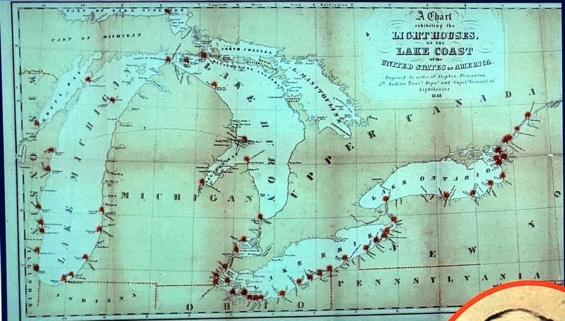
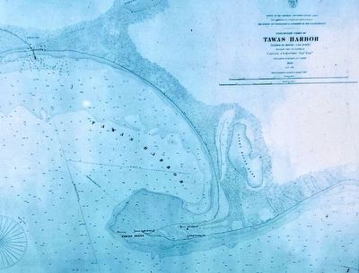
3. Marker detail: 1880 Great Lakes map
The steady growth of vessel traffic on Lake Huron resulted in better charts of the area. This map was published by the War Department, Bureau of Topographical Engineers around 1880. On it you can see the discontinued 1853 lighthouse, the new Tawas lighthouse, and the U.S. Lifesaving Station.
Credits. This page was last revised on November 24, 2020. It was originally submitted on September 29, 2018, by Cosmos Mariner of Cape Canaveral, Florida. This page has been viewed 221 times since then and 15 times this year. Photos: 1, 2, 3, 4, 5, 6. submitted on October 1, 2018, by Cosmos Mariner of Cape Canaveral, Florida. • Bill Pfingsten was the editor who published this page.
