Near Algonac in St. Clair County, Michigan — The American Midwest (Great Lakes)
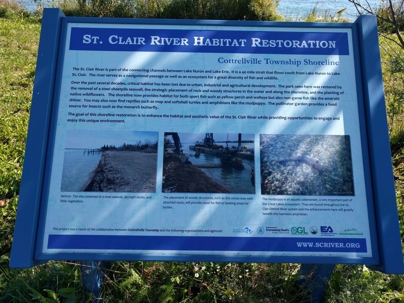
St. Clair River Habitat Restoration
Cottrellville Township Shoreline
Photographed by Joel Seewald, September 23, 2018
1. St. Clair River Habitat Restoration: Cottrellville Township Shoreline Marker
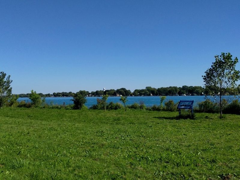
Over the past several decades, critical habitat has been lost due to urban, industrial and agricultural development. The park seen here was restored by the removal of a steel sheetpile seawall, the strategic placement of rock and woody structures in the water and along the shoreline, and the planting of native wildflowers. The shoreline now provides habitat for both sport fish such as yellow perch and walleye but also non-game fish like the emerald shiner. You may also now find reptiles such as map and softshell turtles and amphibians like the mudpuppy. The pollinator garden provides a food source for insects such as the monarch butterfly.
The goal of this shoreline restoration is to enhance the habitat and aesthetic value of the St. Clair River while providing opportunities to engage and enjoy this unique environment.
Erected by St. Clair
this page online
Topics. This historical marker is listed in these topic lists: Environment • Waterways & Vessels.
Location. 42° 39.473′ N, 82° 30.869′ W. Marker is near Algonac, Michigan, in St. Clair County. It is on North River Road (State Highway 29) 0.1 miles south of Roberts Road, on the right when traveling north. Touch for map. Marker is in this post office area: Marine City MI 48039, United States of America. Touch for directions.

Regionally, this marker is in Southeast Michigan and in one of the Lake Huron Shore counties. It is also in the American Midwest. Globally, it is in North America, on the Great Lakes, in the Western Hemisphere, in the Western World, and in the Anglosphere. Historically, it finds itself in what was once the Northwest Territory.
Other nearby markers. At least 8 other markers
Photographed by Joel Seewald, September 23, 2018
2. Left Image
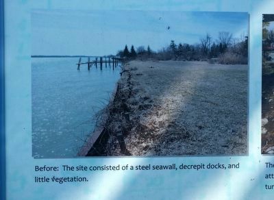
Before: The site consisted of a steel seawall, decrepit docks, and little vegetation.
Photographed by Joel Seewald, September 23, 2018
3. Center Image
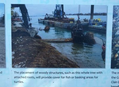
The placement of woody structures, such as this whole tree with attached roots, will provide cover for fish or basking areas for turtles.
Photographed by Joel Seewald, September 23, 2018
4. Right Image
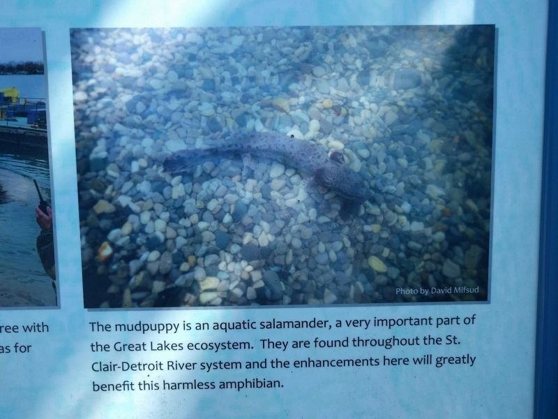
The mudpuppy is an aquatic salamander, a very important part of the Great Lakes ecosystem. They are found throughout the St. Clair-Detroit River system and the enhancements here will greatly benefit this harmless amphibian.
Photographed by Joel Seewald, September 23, 2018
5. St. Clair River Habitat Restoration: Cottrellville Township Shoreline Marker
Credits. This page was last revised on December 9, 2020. It was originally submitted on October 1, 2018, by Joel Seewald of Madison Heights, Michigan. This page has been viewed 326 times since then and 23 times this year. Photos: 1, 2, 3, 4, 5. submitted on October 1, 2018, by Joel Seewald of Madison Heights, Michigan.
