Polotitlán, Mexico State, Mexico — The Central Highlands (North America)
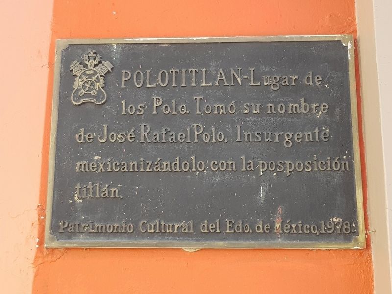
Polotitlán
mexicanizándolo con la posposición titlán.
Patrimonio Cultural del Edo. de México, 1978.
Polotitlán - The place of the Polos. This town takes its name from José Rafael Polo, Insurgent
The town name was “mexicanized” with the addition of the suffix of “titlán.”
Cultural Heritage of the State of Mexico, 1978.
Erected 1978 by Patrimonio Cultural del Estado de México.
Topics. This memorial is listed in these topic lists: Colonial Era • Political Subdivisions • Wars, Non-US. A significant historical year for this entry is 1978.
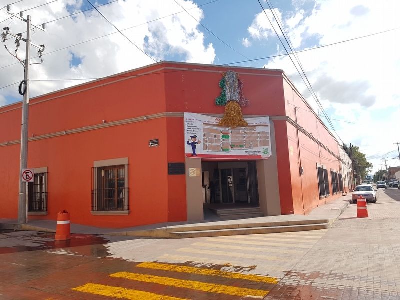
Location. 20° 13.444′ N, 99° 48.887′ W. Marker is in Polotitlán, Estado de Mexico (Mexico State). Memorial is at the intersection of Cuauhtémoc and Allende, on the right when traveling south on Cuauhtémoc. Touch for map. Marker is in this post office area: Polotitlán MEX 54200, Mexico. Touch for directions.
Other nearby markers. At least 8 other markers are within walking distance of this marker. Herminio Sánchez Romero (a few steps from this marker); José Felipe Polo (within shouting distance of this marker); Nicolás Legorreta (within shouting distance of this marker); The National Road in Polotitlán (about 90 meters away, measured in a direct line); The Cross of Polotitlán (about 90 meters away); Parish of San Antonio de Padua (about 120 meters away); José de la Luz Basurto (about 240 meters away); Teachers of Polotitlán (approx. 0.4 kilometers away). Touch for a list and map of all markers in Polotitlán.
Credits. This page was last revised on October 2, 2018. It was originally submitted on October 2, 2018, by J. Makali Bruton of Accra, Ghana. This page has been viewed 145 times since then and 14 times this year. Photos: 1, 2, 3. submitted on October 2, 2018, by J. Makali Bruton of Accra, Ghana.


