
Valley in Syracuse in Onondaga County, New York — The American Northeast (Mid-Atlantic)
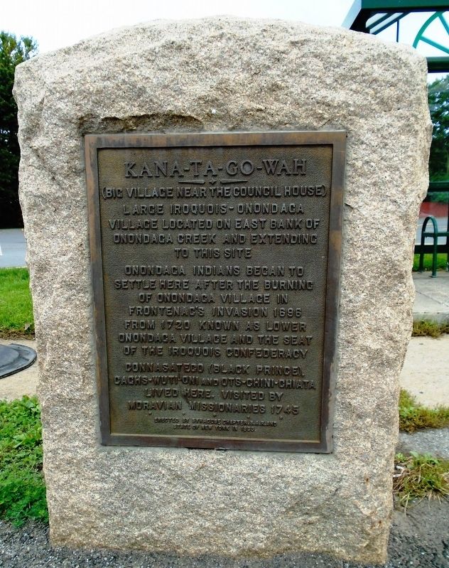
Kana-Ta-Go-Wah
(Big Village Near The Council House)
Photographed by William Fischer, Jr., October 8, 2018
1. Kana-Ta-Go-Wah Marker
village located on east bank of
Onondaga Creek and extending
to this site
Onondaga Indians began to
settle here after the burning
of Onondaga Village in
Frontenac's Invasion 1696
From 1720 known as Lower
Onondaga Village and the seat
of the Iroquois Confederacy
Connasatego (Black Prince),
Caghs-Wuti-Oni and Ots-Chini-Chiata
lived here. Visited by
Moravian missionaries 1745
Erected 1933 by Syracuse Chapter, S.A.R. and State of New York.
Topics and series. This historical marker is listed in these topic lists: Colonial Era • Indigenous Peoples and Communities • Settlements & Settlers. In addition, it is included in the Sons of the American Revolution (SAR) series list. A significant historical year for this entry is 1696.
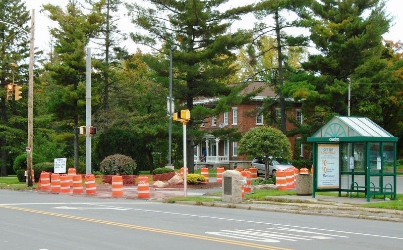
Location. 42° 59.11′ N, 76° 8.611′ W. Marker is in Syracuse, New York, in Onondaga County. It is in Valley. It is at the intersection of Salina Street (U.S. 11) and Dorwin Avenue, on the left when traveling south on Salina Street. Touch for map. Marker is at or near this postal address: 5933 South Salina Street, Syracuse NY 13205, United States of America.
this page online

Regionally, this marker is in Upstate New York and specifically in Central New York. It is also in the American Northeast and in the Mid-Atlantic. Globally, it is in North America, on the Great Lakes, in the Western Hemisphere, in the Western World, and in the Anglosphere. Historically, it finds itself in what was once the Haudenosaunee (Iroquois) Confederacy, New Netherland, and one of the original Thirteen Colonies.
Other nearby markers. At least 8 other markers are within 2 miles of this marker, measured as the crow flies: The Iroquois Trail (approx. 0.3 miles away); James E. Heath Park (approx. 0.3 miles away); The Indian Trail (approx. 0.3 miles away); Nedrow c. 1798 (approx. 0.6 miles away); Anglers Assn. (approx. 0.9 miles away); Site of Home of Comfort Tyler (approx. 0.9 miles away); Gridley House (approx. 1.1 miles away); Forman House (approx. 1.2 miles away). Touch for a list and map of all markers in Syracuse.
Also see . . . Onondaga Nation Timeline. (Submitted on October 8, 2018, by William Fischer, Jr. of Reynoldsburg, Ohio.)
Photographed by William Fischer, Jr., October 8, 2018
2. Kana-Ta-Go-Wah Marker
Credits. This page was last revised on February 16, 2023. It was originally submitted on October 8, 2018, by William Fischer, Jr. of Reynoldsburg, Ohio. This page has been viewed 884 times since then and 39 times this year. Photos: 1, 2. submitted on October 8, 2018, by William Fischer, Jr. of Reynoldsburg, Ohio.
