
Huichapan, Hidalgo, Mexico — The Central Highlands (North America)
Plaza of the Independence Martyrs
Photographed by J. Makali Bruton, October 6, 2018
1. Plaza of the Independence Martyrs Marker

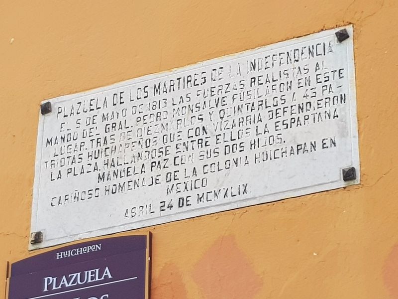
El 5 de mayo de 1813 las Fuerzas Realistas al mando del Gral. Pedro Monsalves fusilaron en este lugar tras de diezmarlos y quintarlos a 43 patriotas huichapeños que con vizarria defendieron la plaza, hallándose entre ellos la espartana Manuela Paz con sus dos hijos.
Cariñoso homenaje de la Colonia Huichapan en Mexico
Abril 24 de MCMXLIX
On May 5, 1813, the Royalist forces commanded by General Pedro Monsalves shot in this place, after decimating and killing many of them in battle, 43 patriots from Huichapan, who had defended this plaza with bravery. Among them was “The Spartan” Manuela Paz with her two children.
An affectionate homage from the Huichapan Colony in Mexico
April 24, 1949
Erected 1949 by la Colonia Huichapan en México.
Topics. This memorial is listed in these topic lists: Colonial Era • Wars, Non-US.
Location. 20° 22.507′ N, 99° 39.059′ W. Memorial is in Huichapan, Hidalgo. It is on De los Mártires just east of Ignacio Comonfort, on the right when traveling
this page online

Regionally, this memorial is in Central Mexico, specifically in the Sierra Madre, and in Mexico City Metropolitan Area. Globally, it is in North America, Mesoamerica, and the Western Hemisphere. Historically, it finds itself in what was once New Spain, a Spanish colony, and the Aztec Empire.
Other nearby markers. At least 8 other markers are within walking distance of this marker: General Julián Villagrán (within shouting distance of this marker); El Chapitel (within shouting distance of this marker); First Celebration of the Mexican Independence Proclamation (within shouting distance of this marker); Monolithic Cross of the Atrium (about 120 meters away, measured in a direct line); Parroquia de San Mateo Apóstol (about 120 meters away); Benito Juárez (about 120 meters away); The Chapel of the Third Order (about 120 meters away); Franciscan Ex-Convent (about 150 meters away). Touch for a list and map of all markers in Huichapan.
Photographed by J. Makali Bruton, October 6, 2018
2. Plaza of the Independence Martyrs Marker
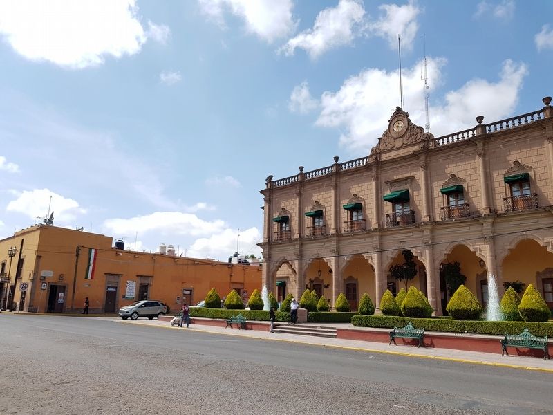
The marker is at the far left in this view of the plaza mentioned in the marker text.
Photographed by J. Makali Bruton, October 6, 2018
3. Plaza of the Independence Martyrs
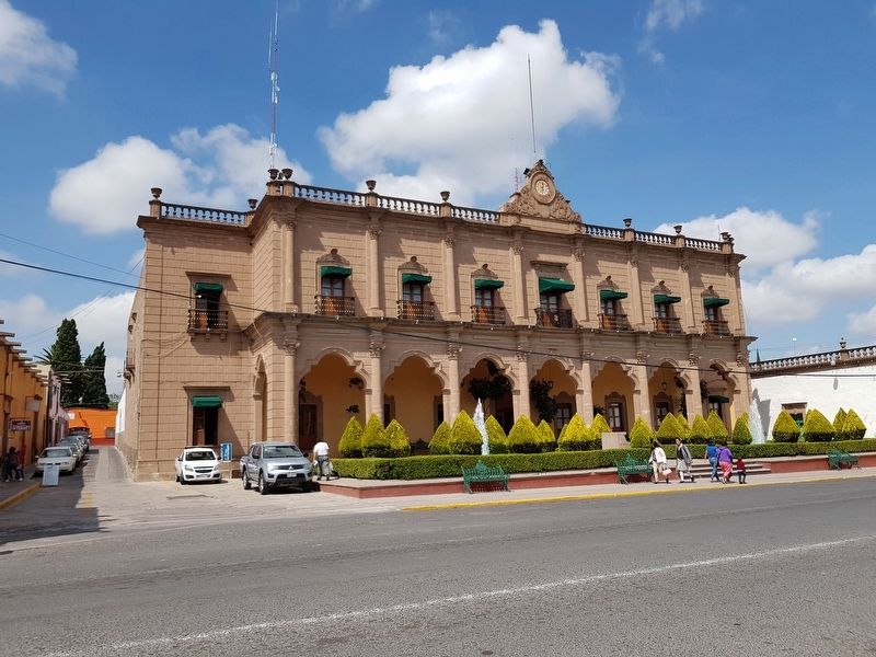
The Presidencia Municipal (Municipal Government building) can be seen here in this view of the plaza.
Credits. This page was last revised on October 12, 2018. It was originally submitted on October 12, 2018, by J. Makali Bruton of Washington, District of Columbia. This page has been viewed 246 times since then and 21 times this year. Photos: 1, 2, 3. submitted on October 12, 2018, by J. Makali Bruton of Washington, District of Columbia.
