St. Simons Island in Glynn County, Georgia — The American South (South Atlantic)
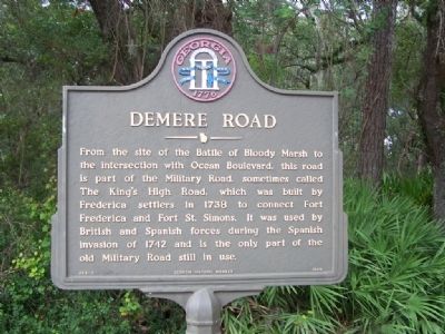
Demere Road
From the site of the Battle of Bloody Marsh to the intersection with Ocean Boulevard, this road is part of the Military Road, sometimes called The King’s High Road, which was built by Frederica settlers in 1738 to connect Fort Frederica and Fort St. Simons. It was used by British and Spanish forces during the Spanish invasion of 1742 and is the only part of the old Military Road still in use.
Erected 1989 by Georgia Historical Commission. (Marker Number 063-3.)
Topics and series. This historical marker is listed in these topic lists: Colonial Era • Military • Roads & Vehicles. In addition, it is included in the Georgia Historical Society series list. A significant historical year for this entry is 1738.
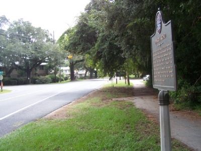
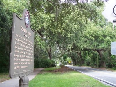
Location. 31° 8.904′ N, 81° 22.879′ W. Marker is on St. Simons Island, Georgia, in Glynn County. Marker is at the intersection of Demere Road and East Beach Causeway, on the left when traveling north on Demere Road. Touch for map. Marker is in this post office area: Saint Simons Island GA 31522, United States of America. Touch for directions.
Other nearby markers. At least 8 other markers are within one mile of this marker, measured as the crow flies. S.S. Oklahoma and Esso Baton Rouge (approx. half a mile away); Battle of Bloody Marsh (approx. 0.6 miles away); A Clash Of Cultures (approx. 0.6 miles away); Slave Cabin (approx. 0.9 miles away); Fort Saint Simons (approx. one mile away); Delegal's Fort (approx. one mile away); St. Simons Park (approx. one mile away); Old Spanish Garden (approx. one mile away). Touch for a list and map of all markers in St. Simons Island.
Credits. This page was last revised on November 23, 2020. It was originally submitted on October 14, 2008, by Mike Stroud of Bluffton, South Carolina. This page has been viewed 1,406 times since then and 72 times this year. Photos: 1, 2, 3. submitted on October 14, 2008, by Mike Stroud of Bluffton, South Carolina. • Kevin W. was the editor who published this page.


