Iron River in Iron County, Michigan — The American Midwest (Great Lakes)
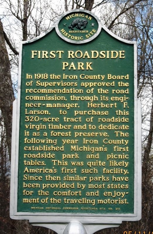
First Roadside Park
Photographed by Paul Fehrenbach, May 11, 2017
1. First Roadside Park Marker
south side of two-sided marker
Erected 1964 by Michigan Historical Commission. (Marker Number 213.)
Topics and series. This historical marker is listed in these topic lists: Parks & Recreational Areas • Roads & Vehicles. In addition, it is included in the Michigan Historical Commission series list. A significant historical year for this entry is 1918.
Location. 46° 6.402′ N, 88° 32.784′ W. Marker is in Iron River, Michigan, in Iron County. It can be reached from U.S. 2. Marker is located in a U.S. Hwy 2 rest area approximately 4 miles east of Iron River, on the north side of the highway. Touch for map. Marker is in this post office area: Iron River MI 49935, United States of America. Touch for directions.

Regionally, this marker is on the Upper Peninsula. It is also in the American Midwest. Globally, it is in North America, the Great North Woods, the Western Hemisphere, the Western World, and the Anglosphere. Historically, it finds itself in what was once the Northwest Territory.
Other nearby markers. At least 8 other markers are within 5 miles of this marker, measured as the crow flies: Larson Park (here, next to this marker); The Beechwood Cabin (approx. 4.6 miles away); Brule Homestead Cabin (approx. 4.6 miles away); The Puotinen Barn (approx. 4.7 miles away); The Finnish Sauna (approx. 4.7 miles away); The Sunset Lake Home
this page online
Photographed by Paul Fehrenbach, May 11, 2017
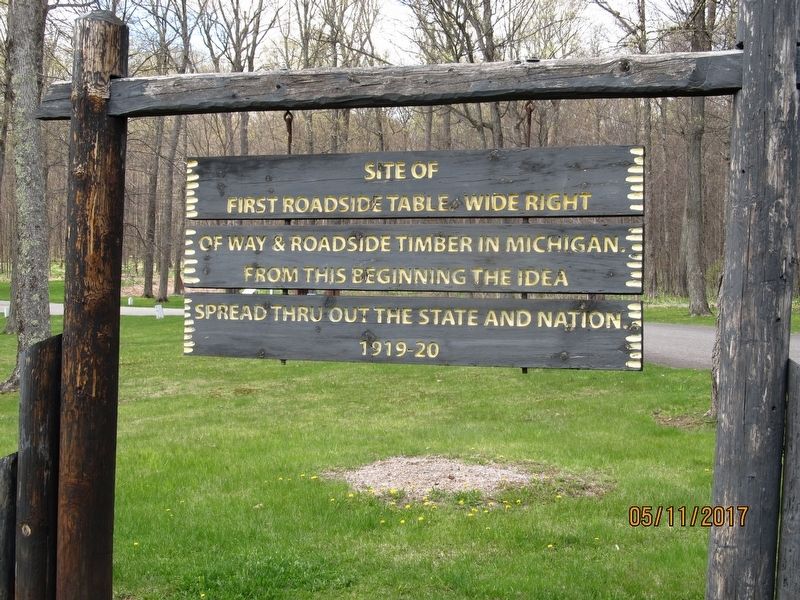
2. First Roadside Park Marker
Entrance sign to the rest area.
Photographed by Paul Fehrenbach, May 11, 2017
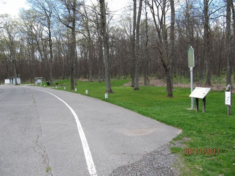
3. First Roadside Park Marker
Credits. This page was last revised on October 18, 2018. It was originally submitted on May 17, 2017, by Paul Fehrenbach of Richfield, Wisconsin. This page has been viewed 1,140 times since then and 182 times this year. Last updated on October 18, 2018, by Paul Fehrenbach of Richfield, Wisconsin. Photos: 1, 2, 3. submitted on May 17, 2017, by Paul Fehrenbach of Richfield, Wisconsin. • Andrew Ruppenstein was the editor who published this page.
