North Sandwich near Waterville Valley in Grafton County, New Hampshire — The American Northeast (New England)
By Foot and Horseback, Stagecoach and Car
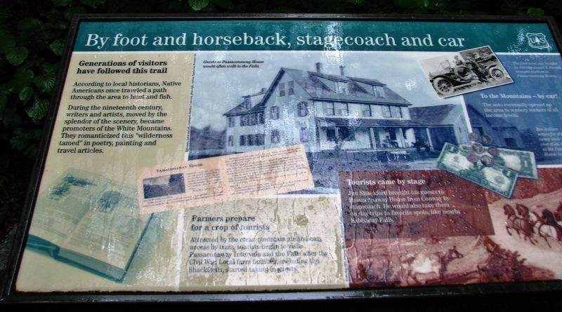
Generations of visitors have followed this trail
According to local historians, Native Americans once traveled a path through the area to hunt and fish.
During the nineteenth century, writers and artists, moved by the splendor of the scenery, became promoters of the White Mountains. They romanticized this “wilderness tamed” in poetry, painting and travel articles.
Farmers prepare for a crop of tourists
Attracted by the clean, mountain air and easy access by train, tourists began to visit Passaconaway Intervale and the Falls after the Civil War. Local farm families, including the Shackfords, started taking in guests.
Tourists came by stage
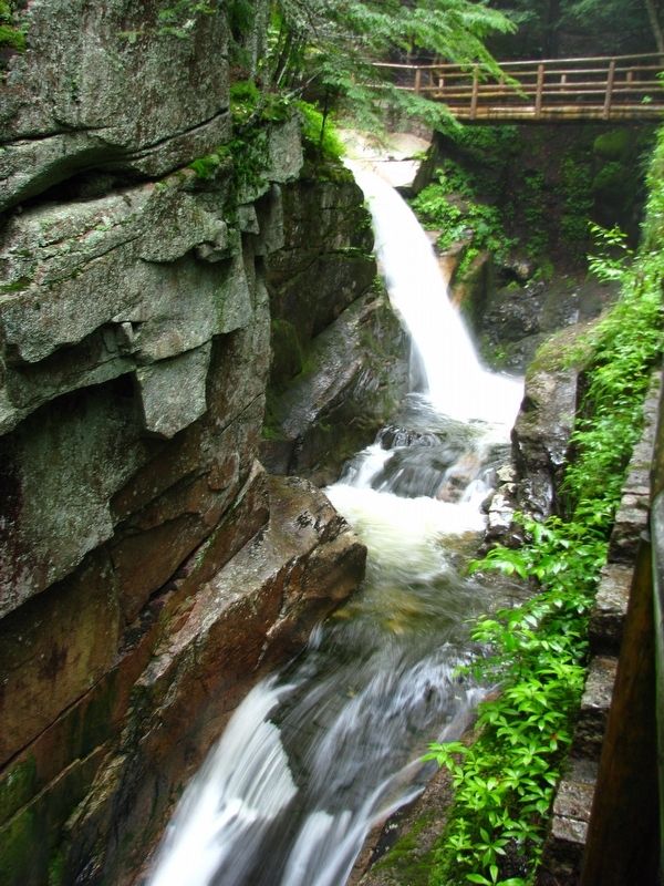
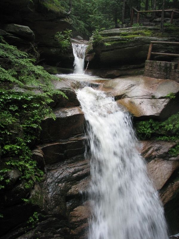
Jim Shackford brought his guests to Passaconaway House from Conway by stagecoach. He would also take them on day trips to favorite spots, like nearby Sabbaday Falls.
To the Mountains – by car!
The auto eventually opened up the area to scenery seekers of all income levels.
Erected by Forest Service, United States Department of Agriculture.
Topics. This historical marker is listed in these topic lists: Animals • Native Americans • Roads & Vehicles • Settlements & Settlers.
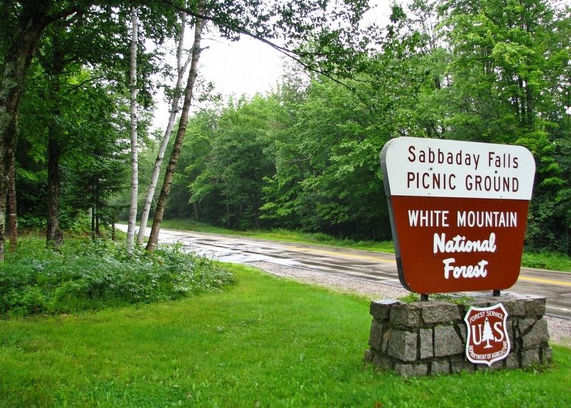
Location. 43° 59.835′ N, 71° 23.593′ W. Marker is near Waterville Valley, New Hampshire, in Grafton County. It is in North Sandwich. Marker can be reached from Kancamagus Highway (State Highway 112) 20 miles east of Daniel Webster Highway (U.S. 3), on the right when traveling east. Marker is located on the south side of the highway, at the Sabbaday Falls Trailhead. Touch for map. Marker is in this post office area: Waterville Valley NH 03215, United States of America. Touch for directions.
Other nearby markers. At least 8 other markers are within 8 miles of this marker, measured as the crow flies. How Sabbaday Falls Got Its Name (a few steps from this marker); Crawford Notch Road (approx. 6.3 miles away); Sawyer's Rock (approx. 6.3 miles away); Chinook Kennels (approx. 6.9 miles away); Cart Roads and Wagon Paths Connect a Community (approx. 7.6 miles away); How the Covered Bridge was Built (approx. 7.6 miles away); Bartlett, N.H. Veterans Memorial (approx. 7.9 miles away); Bartlett Snow Roller (approx. 7.9 miles away).
More about this marker. This marker is a large composite plaque mounted horizontally on waist-high posts.
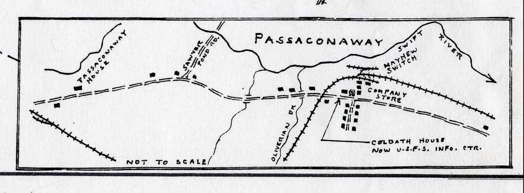
Regarding By Foot and Horseback, Stagecoach and Car. Passaconaway today is the site only of a Forest Service visitor center, a few seasonal homes and a small cemetery. For a short time, however, it may have had as many as 1,500 residents. Passaconaway, originally known as the Albany Intervale, was a small agricultural community until the Conway Lumber Company built the 26 mile Swift River Railroad in 1906. Prior to the coming of the Swift River Railroad, there had been another short-lived logging operation, the Bartlett Lumber Company. Its railroad, the Bartlett and Albany, existed from 1887-1894, running from the company’s mills in Bartlett to Passaconaway. At its peak, during the Conway Lumber years, the town had two schools, a lumber store, a company store, a post office, several boarding houses, and a number of small homes for employees.
Also see . . . Passaconaway in the White Mountains: A Chapter of Adventures (Charles Edward Beals, Jr.). "We were thankful indeed to reach the shelter of the hotel, which, in spite of its heavy frame of great oak beams, creaked and shook. The barn door was blown off. Mr. Shackford had been laying a pump-pipe from a spring out of doors into the kitchen. The wind blew in through the ditch under the house and lifted and turned over some floor boards which had been temporarily laid down without being nailed. Two of the hotel people, ardent photographers, started up to Sabbaday Falls for the purpose of securing one of the wonderful pictures obtainable only in flood time. But in crossing the Sabbaday, in water which came to their waist, one of them lost his footing. Had not the other quickly assisted him, possibly he might have been lost, for the current on that day was so strong that no swimmer, however powerful, could hope to breast it." (Submitted on October 19, 2018, by Cosmos Mariner of Cape Canaveral, Florida.)
Photographed By Via, unknown
5. Passaconaway - The Albany Intervale
White Mountains History website entry
Click for more information.
Click for more information.
Credits. This page was last revised on February 16, 2023. It was originally submitted on October 18, 2018, by Cosmos Mariner of Cape Canaveral, Florida. This page has been viewed 134 times since then and 20 times this year. Photos: 1, 2, 3, 4. submitted on October 19, 2018, by Cosmos Mariner of Cape Canaveral, Florida. 5. submitted on September 20, 2021, by Larry Gertner of New York, New York. • Andrew Ruppenstein was the editor who published this page.
