Centro Histórico in Ciudad de México, Mexico — The Valley of Mexico (The Central Highlands)
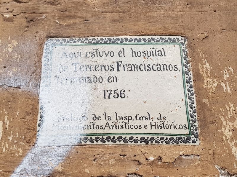
Hospital de los Terceros Franciscanos
Photographed by J. Makali Bruton, October 10, 2018
1. Hospital de los Terceros Franciscanos Marker

Catálogo de la Insp. Gral. de Monumentos Artísticos e Históricos.
Here was the Hospital of the Franciscan Tertiaries, completed in 1756.
Catalog of the Inspector General of Artistic and Historic Monuments
Erected by Catálogo de la Inspección General de Monumentos Artísticos e Históricos.
Topics. This historical marker is listed in these topic lists: Charity & Public Work • Colonial Era • Religion & Religious Structures • Science & Medicine. A significant historical year for this entry is 1756.
Location. 19° 26.159′ N, 99° 8.424′ W. Marker is in Ciudad de México. It is in Centro Histórico. It is at the intersection of Calle de Tacuba and Eje Central Lázaro Cárdenas, on the left when traveling west on Calle de Tacuba. Touch for map. Marker is in this post office area: Ciudad de México 06000, Mexico. Touch for directions.

Regionally, this marker is in Central Mexico and specifically in Mexico City Metropolitan Area. Globally, it is in North America, specifically in Mesoamerica, on the Ring of Fire, and
this page online
Other nearby markers. At least 8 other markers are within walking distance of this marker: El Palacio Postal (here, next to this marker); The House of Hernán Martín (a few steps from this marker); Ignacio Manuel Altamirano (within shouting distance of this marker); Palacio de Minería (within shouting distance of this marker); The Palace of Mines (about 90 meters away, measured in a direct line); Statue of Carlos IV of Spain (about 90 meters away); Guglielmo Marconi (about 120 meters away); Fleeing of the Spanish on the "Sad Night" (about 120 meters away). Touch for a list and map of all markers in Ciudad de México.
Photographed by J. Makali Bruton, October 10, 2018
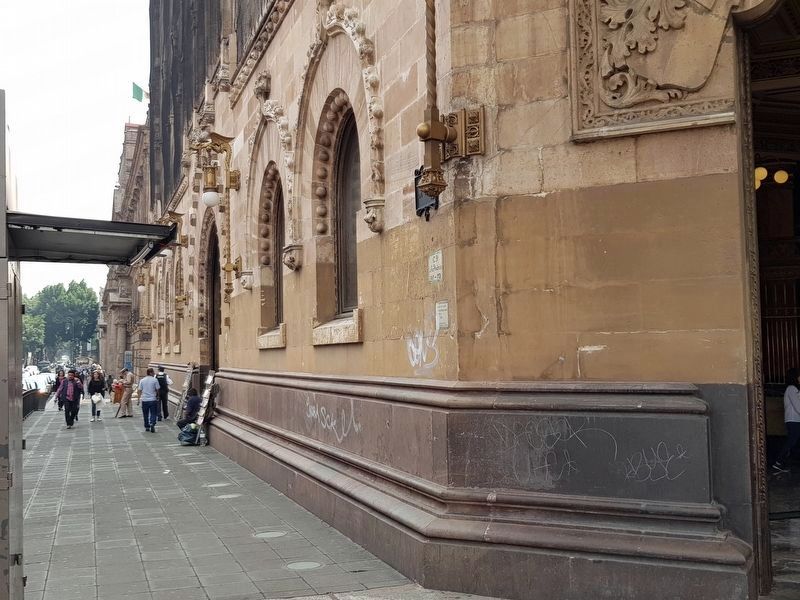
2. Hospital de los Terceros Franciscanos Marker
The marker is on the left of the entrance to the Palacio Postal (Postal Palace) at the intersection of Tacuba and Eje Central.
Photographed by J. Makali Bruton, October 10, 2018
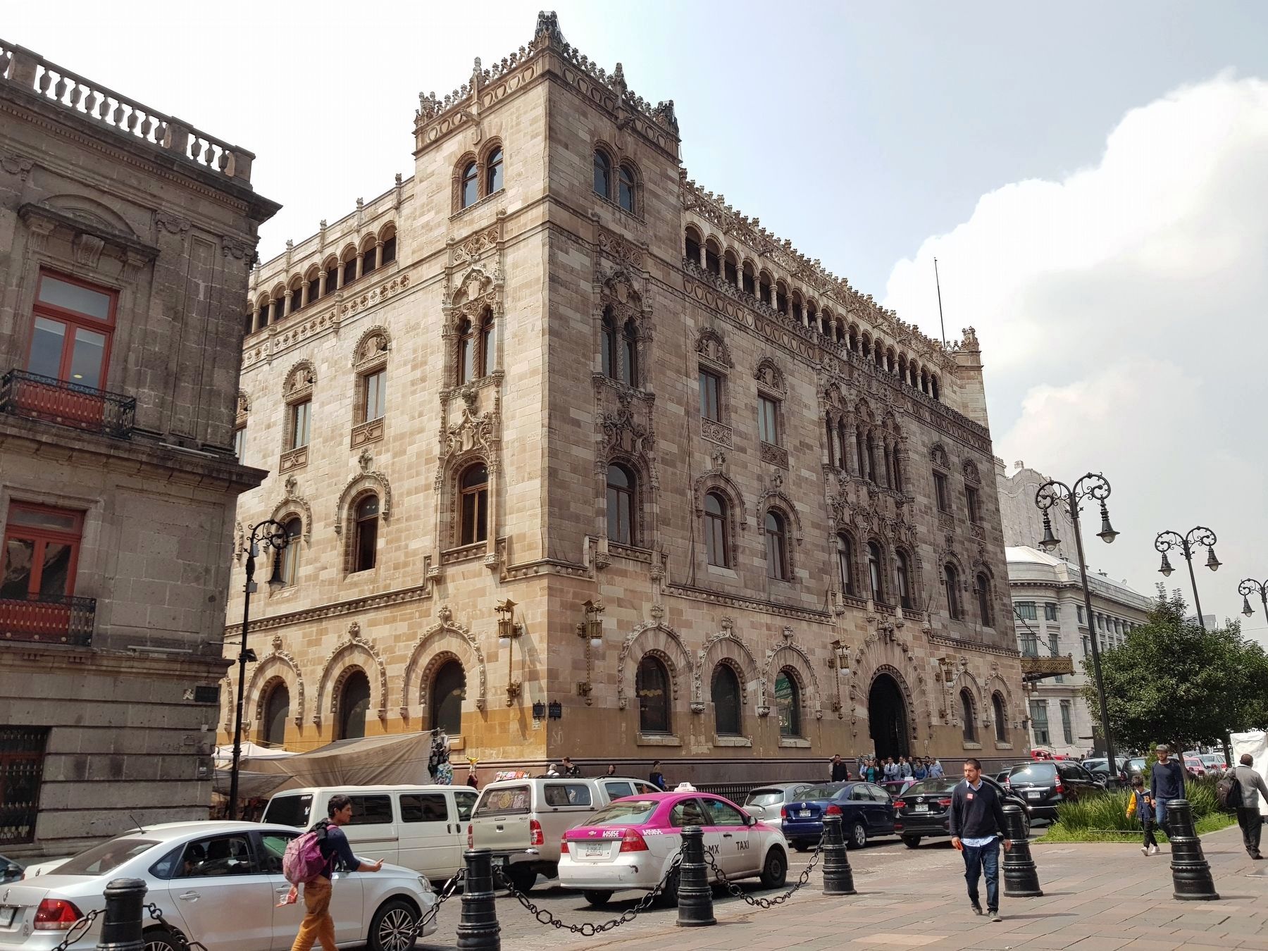
3. Hospital de los Terceros Franciscanos Marker
The marker is at the far right in this view, near the entrance to the Palacio Postal (the Postal Palace) at the intersection of Tacuba and Eje Central.
Credits. This page was last revised on January 4, 2023. It was originally submitted on October 18, 2018, by J. Makali Bruton of Washington, District of Columbia. This page has been viewed 383 times since then and 34 times this year. Photos: 1, 2, 3. submitted on October 18, 2018, by J. Makali Bruton of Washington, District of Columbia.
