Settling on Saint Croix Island
⎯⎯⎯
Colonisation de l'île Sainte-Croix
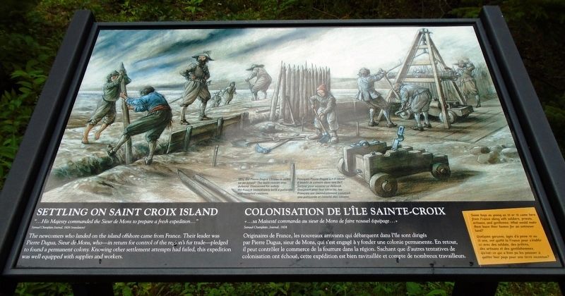

"...His Majesty commanded the Sieur de Mons to prepare a fresh expedition..."
Samuel Champlain Journal, 1604 (translation)
The newcomers who landed on the island offshore came from France. Their leader was Pierre Dugua, Sieur de Mons, who—in return for control of the region's fur trade—pledged to found a permanent colony. Knowing other settlement attempts had failed, this expedition was well equipped with supplies and workers.
Some boys as young as 10 or 12 came here from France along with soldiers, priests, artisans, and gentlemen. What would make them leave their homes for an unknown land?
[Illustration caption reads]
Why did Pierre Dugua choose to settle on an island? The main reason was defense. Concerned for safety, the French immediately built a palisade and installed cannons.
Samuel Champlain, Journal, 1604
Originaires de France, les nouveaux arrivants qui débarquent dans l'île sont dirigés par Pierre Dugua, sieur de Mons,
this page online
Quelques garçons, âgés d'à peine 10 ou 12 ans, ont quitté la France pour s'établir ici avec des soldats, des prêtres, des artisans et des gentilshommes. Qu'est-ce qui a bien pu les pousser à quitter leur pays pour une terre inconnue?
[La légende de l'illustration se lit]
Pourquoi Pierre Dugua a-t-il choisi d'établir la colonie dans une île? Surtout pour assurer sa défense. Craignant pour leur sécurité, les Français ont immédiatement construit une palissade et installé des canons.
Erected by National Park Service.
Topics. This historical marker is listed in these topic lists: Colonial Era • Exploration • Settlements & Settlers • Waterways & Vessels. A significant historical year for this entry is 1604.
Location. 45° 7.444′ N, 67° 8.8′ W. Marker is near Calais, Maine, in Washington County. It can be reached from Saint Croix Drive. Marker is on the grounds of Saint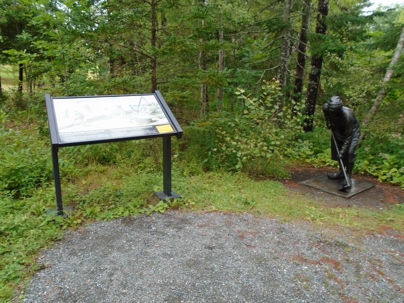

Regionally, this marker is in Downeast Maine. It is also in the American Northeast, in New England, and on the Eastern Seaboard. Globally, it is in the North Atlantic Region, North America, the Great North Woods, the Western Hemisphere, the Western World, and the Anglosphere. Historically, it finds itself in what was once the Viceroyalty of New France and also Acadia.
Other nearby markers. At least 8 other markers are within walking distance of this marker: Strangers Offshore / Étrangers du grand large (a few steps from this marker); Building A Community / Tout à bâtir (a few steps from this marker); Welcome to Saint Croix Island International Historic Site / An Enduring Legacy (a few steps from this marker); Exploring the Coast / Exploration de la côte (within shouting distance of this marker); Saint Croix Island (within shouting distance of this marker); Trapped For The Winter / Prisonniers de l'hiver (within
Related markers. Click here for a list of markers that are related to this marker. Saint Croix Island International Historic Site / Île Sainte-Croix Lieu historique international
Also see . . .
1. Saint Croix Island International Historic Site. National Park Service website entry (Submitted on October 19, 2018, by William Fischer, Jr. of Reynoldsburg, Ohio.)
2. Saint Croix Island International Historic Site Audio Files for Interpretive Trail. National Park Service website entry (Submitted on October 20, 2018, by William Fischer, Jr. of Reynoldsburg, Ohio.)
Credits. This page was last revised on April 27, 2024. It was originally submitted on October 19, 2018, by William Fischer, Jr. of Reynoldsburg, Ohio. This page has been viewed 352 times since then and 32 times this year. Photos: 1, 2, 3. submitted on October 19, 2018, by William Fischer, Jr. of Reynoldsburg, Ohio.
