Huichapan, Hidalgo, Mexico — The Central Highlands (North America)
Franciscan Ex-Convent
Huichapan - Pueblos Mágicos
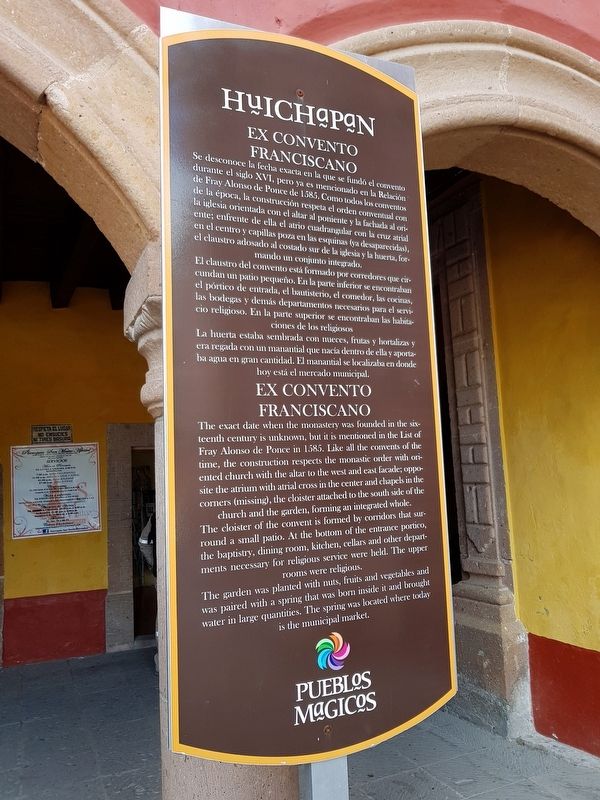
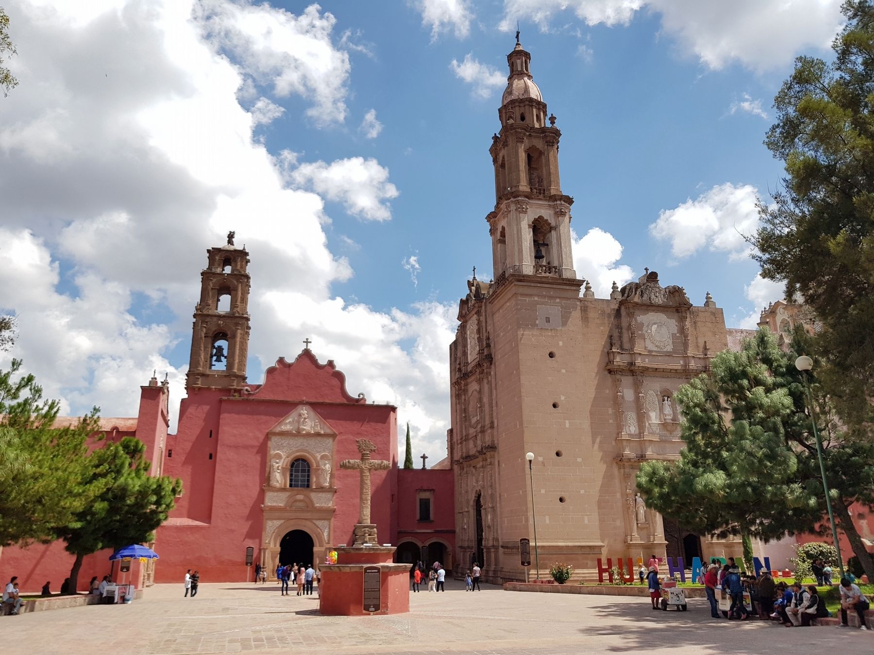
Se desconoce la fecha exacta en la que se fundó el convento durante el siglo XVI, pero ya es mencionada en la Relación de Fray Alonso de Ponce de 1585. Como todos los conventos de le época, la construcción respeta el orden conventual con la iglesia orientada con el altar al poniente y la fachada al oriente; enfrente de ella el atrio cuadrangular con la cruz atrial en el centro y capillas poza en las esquinas (ya desaparecidas), el claustro adosado al costado sur de la iglesia y la huerta, formando un conjunto integrado.
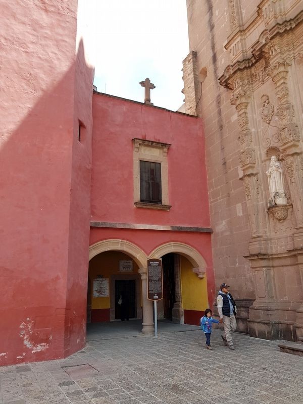
El claustro del convento está formado por corredores que circundan un patio pequeño. En la parte inferior se encontraban el pórtico de entrada, el bautisterio, el comedor, las cocinas, las bodegas y demás departamentos necesarios para el servicio religioso. En la parte superior se encontraban las habitaciones de los religiosos
La huerta estaba sembrada con nueces, frutas y hortalizas y era regada con un manantial que nacía dentro de ella y aportaba agua en gran cantidad. El manantial se localizaba en donde hoy está el mercado municipal.
Ex Convento Franciscano
Franciscan Ex-Convent
The exact date when the monastery was founded in the sixteenth century is unknown, but it is mentioned in the List of Fray Alonso de Ponce in 1585. Like all the convents of the time, the construction respects the monastic order with oriented church with the altar to the west and east facade; opposite the atrium with atrial cross in the center and chapels in the corners (missing), the cloister attached to the south side of the church and the garden, forming an integrated whole.
The cloister of the convent is formed by corridors that surround a small patio. At the bottom of the entrance portico, the baptistry, dining room, kitchen, cellars and other departments necessary for religious service were held. The upper rooms were religious.
The garden was planted with nuts, fruits and vegetables and was paired with a spring that was born inside it and brought water in large quantities. The spring was located where today is the municipal market.
Topics. This historical marker is listed in these topic lists: Churches & Religion • Colonial Era • Man-Made Features. A significant historical year for this entry is 1585.
Location. 20° 22.518′ N, 99° 38.98′ W. Marker is in Huichapan, Hidalgo. Marker is on De la Reforma just north of Manuel González, on the right when traveling north. Touch for map. Marker is in this post office area: Huichapan HGO 42400, Mexico. Touch for directions.
Other nearby markers. At least 8 other markers are within walking distance of this marker. The Chapel of the Virgin of Guadalupe (a few steps from this marker); Parroquia de San Mateo Apóstol (a few steps from this marker); The Chapel of the Third Order (within shouting distance of this marker); Monolithic Cross of the Atrium (within shouting distance of this marker); First Celebration of the Mexican Independence Proclamation (within shouting distance of this marker); El Chapitel (within shouting distance of this marker); General Julián Villagrán (about 90 meters away, measured in a direct line); Benito Juárez (about 150 meters away). Touch for a list and map of all markers in Huichapan.
Credits. This page was last revised on October 19, 2018. It was originally submitted on October 19, 2018, by J. Makali Bruton of Accra, Ghana. This page has been viewed 123 times since then and 12 times this year. Photos: 1, 2, 3. submitted on October 19, 2018, by J. Makali Bruton of Accra, Ghana.


