Near Huichapan, Hidalgo, Mexico — The Central Highlands (North America)
The Arches of Saucillo
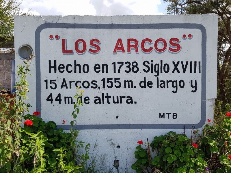
Hecho en 1738 Siglo XVIII 15 Arcos, 155 m. de largo y 44 m. de altura.
MTB
The Arches of Saucillo
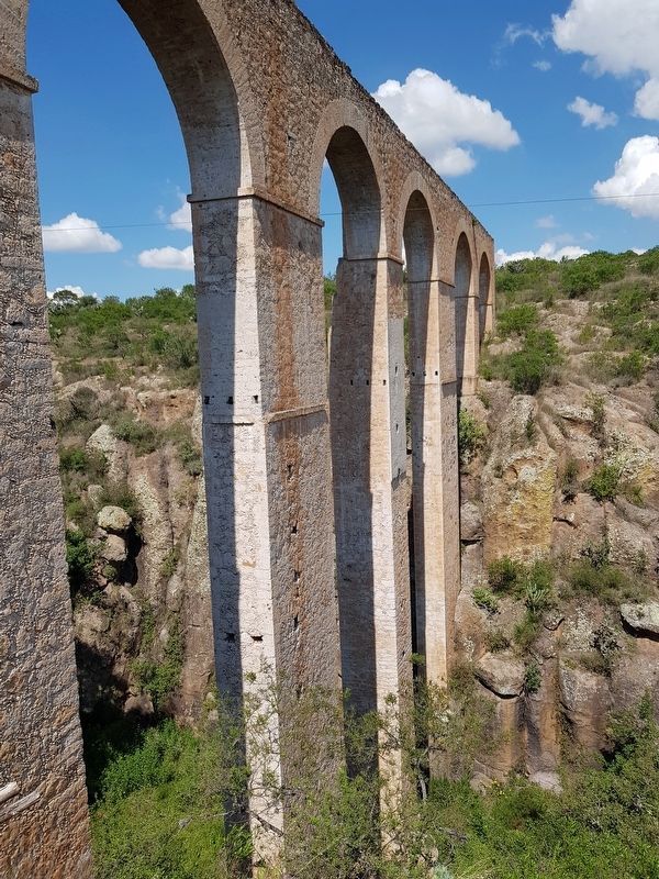
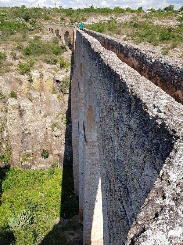
Constructed in 1738 (18th century), there are 15 arches in total. The arches are 155 meters in length and 44 meters high.
Topics. This historical marker is listed in these topic lists: Architecture • Charity & Public Work • Colonial Era • Man-Made Features. A significant historical year for this entry is 1738.
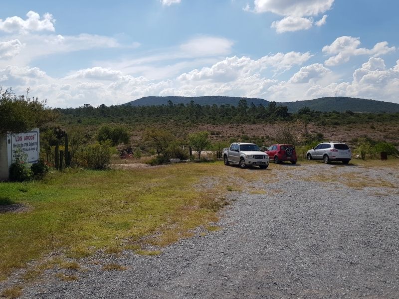
Location. 20° 20.016′ N, 99° 42.709′ W. Marker is near Huichapan, Hidalgo. The marker is in the parking lot of the ecotourism site known as El Saucillo. Access is along an unnamed road about 1 km west from Highway 45, about 5 km south of the town of Huichapan, Hidalgo. The site is marked with directional signs. Touch for map. Marker is in this post office area: Huichapan HGO 42411, Mexico. Touch for directions.
Other nearby markers. At least 8 other markers are within 8 kilometers of this marker, measured as the crow flies. Miguel Hidalgo (approx. 7.7 kilometers away); General Pedro María Anaya (approx. 7.7 kilometers away); Plaza of the Independence Martyrs (approx. 7.8 kilometers away); Benito Juárez (approx. 7.9 kilometers away); General Julián Villagrán (approx. 7.9 kilometers away); First Celebration of the Mexican Independence Proclamation (approx. 7.9 kilometers away); El Chapitel (approx. 7.9 kilometers away); Monolithic Cross of the Atrium (approx. 8 kilometers away). Touch for a list and map of all markers in Huichapan.
Regarding The Arches of Saucillo. The arches were constructed with support from Captain Manuel González Ponce de León, benefactor of Huichapan. The architect Antonio Simón proposed the work as a way to pass water and materials across the arroyo. The work began in 1732 and was completed in 1738.
Credits. This page was last revised on October 20, 2018. It was originally submitted on October 19, 2018, by J. Makali Bruton of Accra, Ghana. This page has been viewed 82 times since then and 13 times this year. Photos: 1, 2, 3, 4, 5, 6. submitted on October 19, 2018, by J. Makali Bruton of Accra, Ghana.


