Pitkin in Vernon Parish, Louisiana — The American South (West South Central)
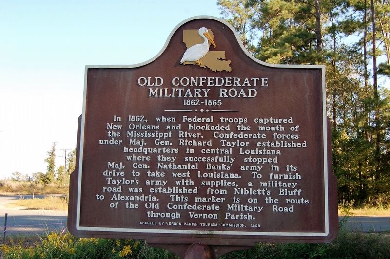
Old Confederate Military Road
1862-1865
In 1862, when Federal troops captured New Orleans and blockaded the mouth of the Mississippi River, Confederate forces under Maj. Gen. Richard Taylor established headquarters in central Louisiana where they successfully stopped Maj. Gen. Nathaniel Banks' army in its drive to take west Louisiana. To furnish Taylor's army with supplies, a military road was established from Niblett's Bluff to Alexandria. This marker is on the route of the Old Confederate Military Road through Vernon Parish.
Erected 2009 by Vernon Parish Tourism Commission.
Topics. This historical marker is listed in these topic lists: Roads & Vehicles • War, US Civil. A significant historical year for this entry is 1862.
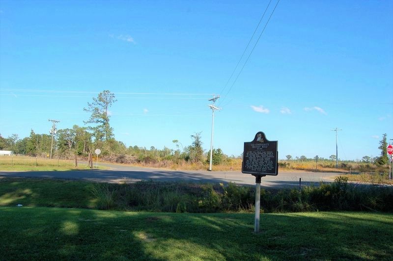
Location. 30° 54.733′ N, 92° 53.382′ W. Marker is in Pitkin, Louisiana, in Vernon Parish. Marker is at the intersection of Pitkin Highway (State Highway 10) and Highway 377, on the right when traveling east on Pitkin Highway. Touch for map. Marker is in this post office area: Pitkin LA 70656, United States of America. Touch for directions.
Other nearby markers. At least 8 other markers are within 9 miles of this marker, measured as the crow flies. Religion in the Neutral Strip (approx. 3.1 miles away); SSG Timothy Bruce Cole, Jr. - Bronze Star with Valor (approx. 6.1 miles away); Town of Elizabeth (approx. 6˝ miles away); Old Campground (approx. 8.8 miles away); Sawmills & Electric Plant (approx. 8.9 miles away); Old Camp Ground Cemetery (approx. 8.9 miles away); Fullerton Pavilion (approx. 8.9 miles away); Fullerton Mill & Town (approx. 8.9 miles away).
Credits. This page was last revised on February 25, 2024. It was originally submitted on October 20, 2018, by Cajun Scrambler of Assumption, Louisiana. This page has been viewed 605 times since then and 56 times this year. Photos: 1, 2. submitted on October 20, 2018.

