Ticonderoga in Essex County, New York — The American Northeast (Mid-Atlantic)
1756 French Saw Mill on La Chute River
Photographed by Cosmos Mariner, June 28, 2005
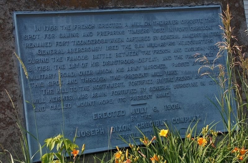
1. 1756 French Saw Mill Marker
In 1756 the French erected a mill on the river opposite this spot for sawing and preparing timbers used in Fort Carillon, renamed Fort Ticonderoga when captured by General Amherst in 1759.
General Abercromby used the saw mill as his headquarters during the famous battle between the French and English, July 8, 1758, the day of his disastrous defeat; and the famous old military road, over which his army marched, passed at or near this spot and through the present mill yard.
The hill to the northwest, fortified by the French and Gallent Mill Heights, was again fortified by General Burgoyne in 1777, and called Mount Hope, its present name.
by the
Joseph Dixon Crucible Company
Jersey City, NJ
Erected 1909 by Joseph Dixon Crucible Company.
Topics. This historical marker is listed in these topic lists: Colonial Era • Forts and Castles • War, French and Indian. A significant historical year for this entry is 1756.
Location. 43° 51.028′ N, 73° 25.229′ W. Marker is in Ticonderoga, New York, in Essex County. It is at the intersection of Tower Avenue and Burgoyne Road / Rogers Street, on the right
this page online

Regionally, this marker is in Upstate New York, in the Adirondacks & North Country, and in the Champlain Valley. It is also in the American Northeast and in the Mid-Atlantic. Globally, it is in North America, the Great North Woods, the Western Hemisphere, the Western World, and the Anglosphere. Historically, it finds itself in what was once the Viceroyalty of New France, New Netherland, and one of the original Thirteen Colonies.
Other nearby markers. At least 8 other markers are within walking distance of this marker: Samuel De Champlain (about 300 feet away, measured in a direct line); Rivière de La Chute (about 400 feet away); Crossroads of a Community (about 500 feet away); Sharing the Flow (about 500 feet away); Tower Avenue Grindstones (about 500 feet away); Lakes to Locks Passage (about 700 feet away); a different marker also named Lakes to Locks Passage
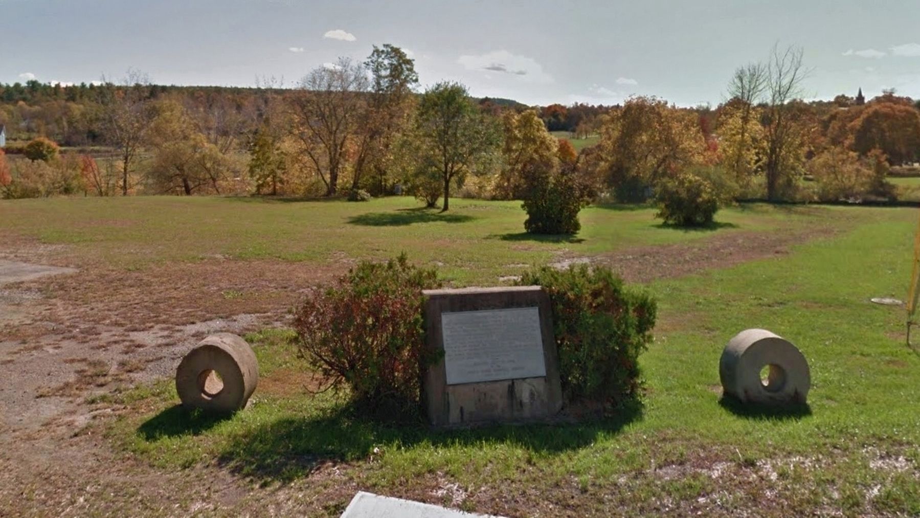
2. 1756 French Saw Mill Marker (wide view; La Chute River in background)
More about this marker. Marker is a large metal plaque, mounted at ground level, on a large monument.
Related markers. Click here for a list of markers that are related to this marker. La Chute Riverwalk, Ticonderoga Bicentennial Park
Also see . . .
1. Ticonderoga’s 1756 French Water-Powered Sawmill. Pride of Ticonderoga website entry:
The idea to recreate the 18th century French sawmill that was built in 1756 along the north bank of the La Chute River in Ticonderoga to cut timbers needed for the construction of Fort Carillon, is a concept first discussed in the early 1980’s (Submitted on October 20, 2018, by Cosmos Mariner of Cape Canaveral, Florida.)
2. Battle of Ticonderoga (1759). Wikipedia entry:
The Battle of Ticonderoga was a minor confrontation at Fort Carillon (later renamed Fort Ticonderoga) during the French and Indian War. A British military force of more than 11,000 men under the command of General Sir Jeffery Amherst moved artillery to high ground overlooking the fort, which was defended by a garrison of 400 Frenchmen. When his troops landed and began advancing on the fort, Amherst was pleased to learn that the French had abandoned the outer defenses. (Submitted on October 20, 2018, by Cosmos Mariner of Cape Canaveral, Florida.)
Credits. This page was last revised on June 13, 2022. It was originally submitted on October 20, 2018, by Cosmos Mariner of Cape Canaveral, Florida. This page has been viewed 1,018 times since then and 80 times this year. Photos: 1, 2. submitted on October 20, 2018, by Cosmos Mariner of Cape Canaveral, Florida. • Andrew Ruppenstein was the editor who published this page.
