Near Gorham in Coos County, New Hampshire — The American Northeast (New England)
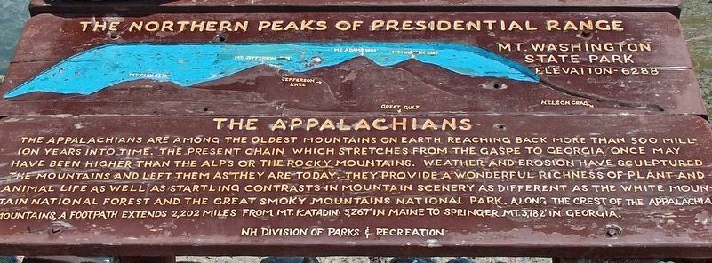
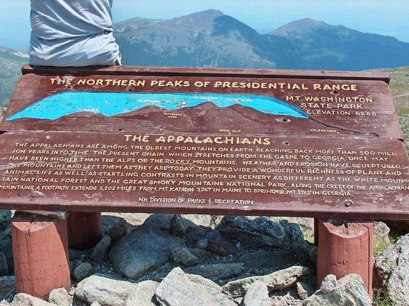
Northern Peaks of Presidential Range
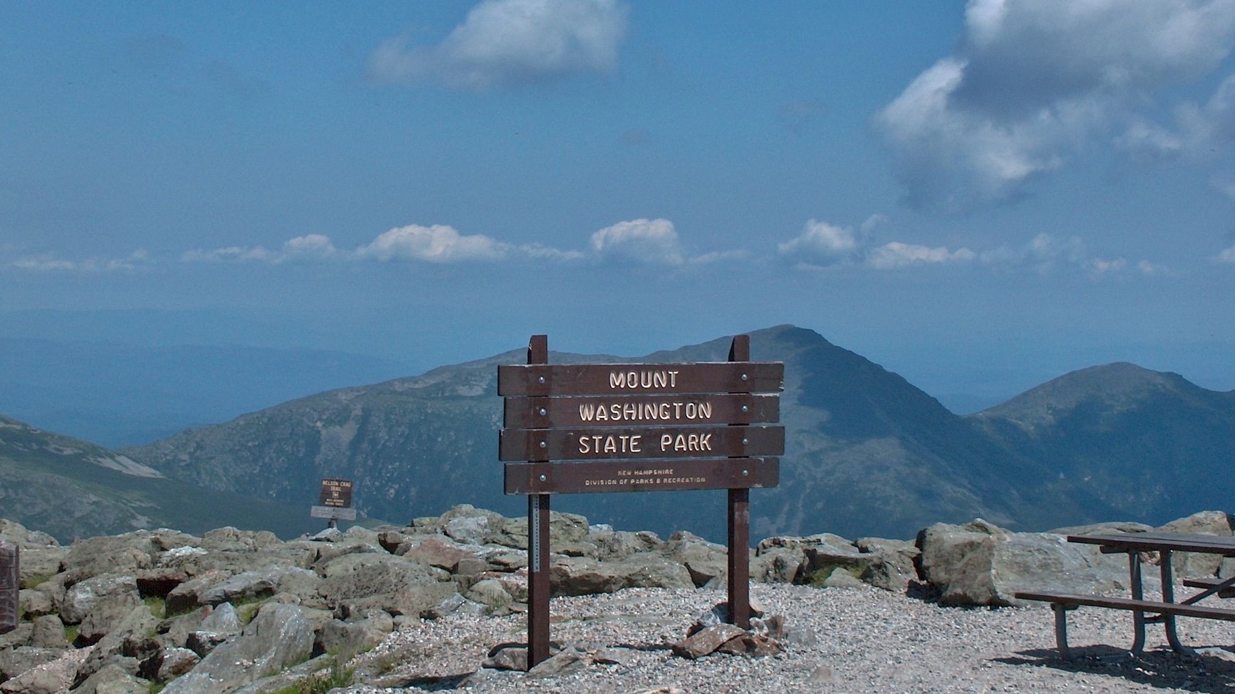
Mt. Washington State Park
— Elevation 6288 —
Erected by New Hampshire Division of Parks and Recreation.
Topics. This historical marker is listed in these topic lists: Natural Features • Parks & Recreational Areas.
Location. 44° 16.238′ N, 71° 18.158′ W. Marker is near Gorham, New Hampshire, in Coos County. Marker can be reached from Mount Washington Auto Road west of White Mountain Road (State Highway 16). Marker is located at the Mount Washington Summit, near the Summit Station, at the top end of Mount Washington Auto Road. Touch for map. Marker is in this post office area: Gorham NH 03581, United States of America. Touch for directions.
Other nearby markers. At least 8 other markers are within 8 miles of this marker, measured as the crow flies. Mount Washington Summit (within shouting distance of this marker); The Old Hero (approx. 2.4 miles away); Mount Washington Cog Railway (approx. 2.6 miles away); First Ascent of Mount Washington (approx. 2.8 miles away); Presidential Range (approx. 4.1 miles away); Crawford House (approx. 6˝ miles away); Crawford Depot (approx. 6˝ miles away); The Ravine House (approx. 7.2 miles away). Touch for a list and map of all markers in Gorham.
More about this marker. This is a large, heavy-duty, painted, wooden "billboard-style" marker, mounted horizontally on waist-high posts, overlooking the Presidential Mountain Range to the north of Mount Washington.
Also see . . . Presidential Range. The Presidential Range is a mountain range located in the White Mountains of the U.S. state of New Hampshire. Containing the highest peaks of the Whites, its most notable summits are named for American presidents, followed by prominent public figures of the 18th and 19th centuries. The Presidential Range is notorious for having some of the worst weather on Earth, mainly because of the unpredictability
of high wind speeds and whiteout conditions on the higher summits. Because of the poor weather conditions, the Presidential Range is often used for mountaineering training for those who go on to climb some of the world's highest mountains, including K2 and Everest. (Submitted on October 22, 2018, by Cosmos Mariner of Cape Canaveral, Florida.)
Credits. This page was last revised on November 1, 2018. It was originally submitted on October 20, 2018, by Cosmos Mariner of Cape Canaveral, Florida. This page has been viewed 164 times since then and 9 times this year. Photos: 1, 2, 3. submitted on October 22, 2018, by Cosmos Mariner of Cape Canaveral, Florida. • Andrew Ruppenstein was the editor who published this page.


