Prairie du Chien in Crawford County, Wisconsin — The American Midwest (Great Lakes)
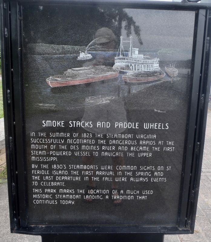
Smoke stacks and paddle wheels
Photographed by Alan M. Perrie, September 7, 2018
1. Smoke stacks and paddle wheels Marker
By the 1830’s steamboats were common sights on St. Feriole Island. The first arrival in the spring and the last departure in the fall were always events to celebrate.
This park marks the location of a much used historic steamboat landing, a tradition that continues today.
Topics. This historical marker is listed in these topic lists: Parks & Recreational Areas • Waterways & Vessels. A significant historical year for this entry is 1823.
Location. 43° 3.117′ N, 91° 9.582′ W. Marker is in Prairie du Chien, Wisconsin, in Crawford County. It is on North Water Street, on the right when traveling south. This marker is on a paved path parallel to North Water Street. Touch for map. Marker is at or near this postal address: 200 North Water Street, Prairie du Chien WI 53821, United States of America. Touch for directions.

Regionally, this marker is in the American Midwest, in the Corn Belt, in the Driftless
this page online
Other nearby markers. At least 8 other markers are within walking distance of this marker: Fort Crawford (here, next to this marker); Site of Courtney Boudrie Home (approx. 0.2 miles away); A Country Estate (approx. 0.3 miles away); American Indians (approx. 0.3 miles away); Villa Louis (approx. 0.3 miles away); War of 1812 (approx. 0.4 miles away); Prairie du Chien (approx. half a mile away); Pere Marquette and Sieur Jolliet (approx. half a mile away). Touch for a list and map of all markers in Prairie du Chien.
Another marker is no longer nearby. Villa Louis (was approx. 0.3 miles away but has been replaced with another marker now near it).
Photographed by Alan M. Perrie, September 7, 2018
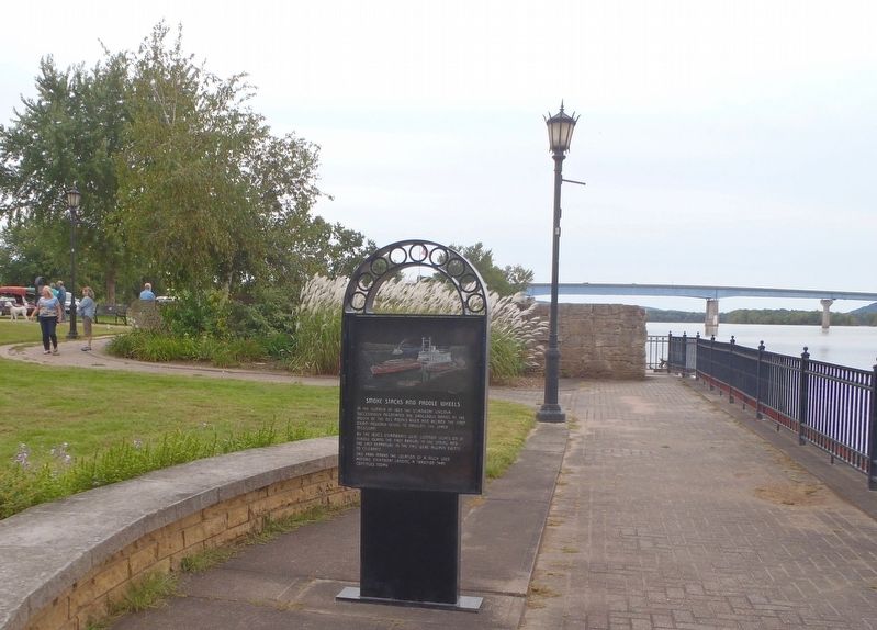
2. This marker is located in St. Feriole Island Park.
Credits. This page was last revised on October 15, 2020. It was originally submitted on October 20, 2018, by Alan M. Perrie of Unionville, Connecticut. This page has been viewed 467 times since then and 20 times this year. Photos: 1, 2. submitted on October 20, 2018, by Alan M. Perrie of Unionville, Connecticut. • Andrew Ruppenstein was the editor who published this page.
