
Lessons Learned
⎯⎯⎯
Leçons durement apprises
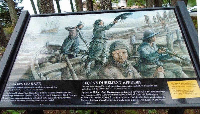

"The Sieur de Mons decided to remove elsewhere...to escape the cold and dreadful winter..."
Samuel Champlain Journal, 1605 (translation)
After the terrible winter, Pierre Dugua, Sieur de Mons, ordered his men to take down the buildings and relocate. The French had learned valuable lessons about North America. This time, they chose a mainland site with a fresh water supply. This time, they built for winter weather. This time, the colony, Port Royal, succeeded.
One reason the colony succeeded at Port Royal is that the French learned many survival lessons from the Mi'kmaw people there.
Did you know?
Some who came to Saint Croix Island became leading figures in Acadia and New France.
• Jean de Biencourt de Poutrincourt headed the colony of Port Royal, the nucleus of Acadia.
• Samuel Champlain founded Quebec City and acted as Governor of New France.
Samuel Champlain, Journal, 1605
Après
this page online
Les Français ont appris beaucoup de leçons de survie des Mi'kmaq de Port-Royal, ce qui explique en partie la réussite de la colonie à cet endroit.
Le saviez-vous?
Quelques hommes qui ont débarqué à l'île Sainte-Croix sont devenus des dirigeants de l'Acadie et de la Nouvelle-France:
• Jean de Biencourt de Poutrincourt dirigait la colonie de Port-Royal, le cœur de l'Acadie
• Samuel Champlain a fondé Québec et a été nommé gouverneur de la Nouvelle-France.
Erected by National Park Service.
Topics. This historical marker is listed in these topic lists: Colonial Era • Settlements & Settlers • Waterways & Vessels. A significant historical year for this entry is 1605.
Location. 45° 7.431′ N, 67° 8.751′ W. Marker is near Calais, Maine, in Washington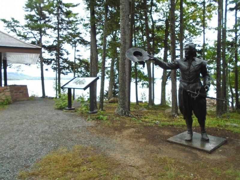

Regionally, this marker is in Downeast Maine. It is also in the American Northeast, in New England, and on the Eastern Seaboard. Globally, it is in the North Atlantic Region, North America, the Great North Woods, the Western Hemisphere, the Western World, and the Anglosphere. Historically, it finds itself in what was once the Viceroyalty of New France and also Acadia.
Other nearby markers. At least 8 other markers are within walking distance of this marker: Imagining the Settlement / La colonie telle qu'on l'imagine (a few steps from this marker); Trapped For The Winter / Prisonniers de l'hiver (a few steps from this marker); Exploring the Coast / Exploration de la côte (within shouting distance of this marker); Building A Community / Tout à bâtir (within shouting distance of this marker); Strangers Offshore / Étrangers du grand large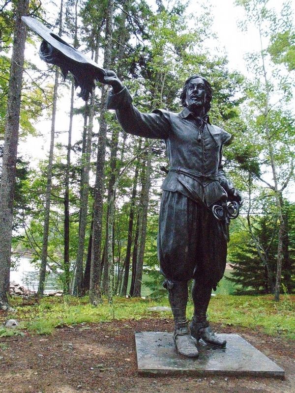
Related markers. Click here for a list of markers that are related to this marker. Saint Croix Island International Historic Site / Île Sainte-Croix Lieu historique international
Also see . . .
1. Saint Croix Island International Historic Site. (Submitted on October 21, 2018, by William Fischer, Jr. of Reynoldsburg, Ohio.)
2. Saint Croix Island International Historic Site Audio Files for Interpretive Trail. (Submitted on October 21, 2018, by William Fischer, Jr. of Reynoldsburg, Ohio.)
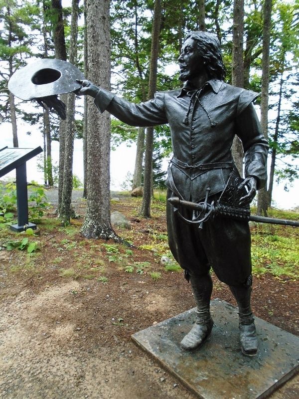
Credits. This page was last revised on January 19, 2020. It was originally submitted on October 21, 2018, by William Fischer, Jr. of Reynoldsburg, Ohio. This page has been viewed 274 times since then and 15 times this year. Photos: 1, 2, 3, 4. submitted on October 21, 2018, by William Fischer, Jr. of Reynoldsburg, Ohio.
