Whiskeytown in Shasta County, California — The American West (Pacific Coastal)
Tower House Historic District
Whiskeytown National Recreational Area
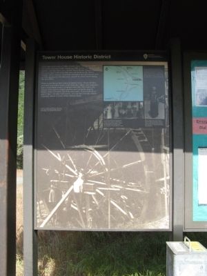
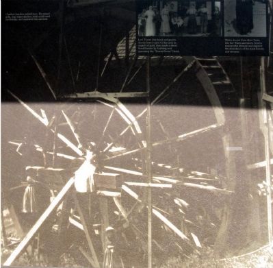
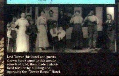
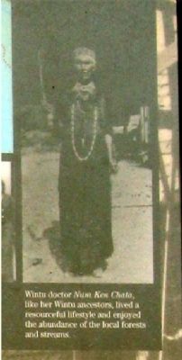
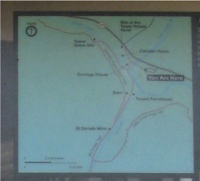
Down this short trail, a bridge crosses Clear Creek just before the creek converges with Crystal and Mill Creeks. Prehistory and history converge here, too – on the Tower House Historic District. For more than 6000 years this area was home to the Wintu People. Other evidence of human enterprise and growth are here as well, sparked by the discovery of gold in Clear Creek during the mid 1800s.
Water is the thread that connects history here. These streams provided year-round water, relief from the valley’s hot summers, and a dependable source of salmon and other fish. Later, the waters were used to irrigate gardens and orchards, quench thirsty horses, and help mine gold. If you walk all or part of this 1 ˝ mile trail system, you can discover the stories of people drawn to these fertile stream banks.
Erected by National Park Service, U.S. Department of the Interior.
Topics. This historical marker is listed in these topic lists: Industry & Commerce • Native Americans • Settlements & Settlers • Waterways & Vessels.
Location. 40° 39.776′ N, 122° 38.065′ W. Marker is in Whiskeytown, California, in Shasta County. Marker can be reached from State Highway 299. Marker is located at the trailhead to the toll bridge at the eastern end of the parking area. Touch for map. Marker is in this post office area: Whiskeytown CA 96095, United States of America. Touch for directions.
Other nearby markers. At least 8 other markers are within 7 miles of this marker, measured as the crow flies. Toll Bridge (about 500 feet away, measured in a direct line); Camden House (approx. 0.2 miles away); French Gulch (approx. 2˝ miles away); French Gulch Hotel (approx. 2˝ miles away); E. Franck & Co. (approx. 2˝ miles away); French Gulch Lodge (approx. 2.6 miles away); I.O.O.F. Lodge #75 (approx. 2.8 miles away); Central Valley Project (approx. 6.8 miles away). Touch for a list and map of all markers in Whiskeytown.
Also see . . . Whiskeytown National Recreation Area. National Park Service website entry (Submitted on October 15, 2008, by Syd Whittle of Mesa, Arizona.)
Credits. This page was last revised on August 24, 2022. It was originally submitted on October 15, 2008, by Syd Whittle of Mesa, Arizona. This page has been viewed 3,046 times since then and 22 times this year. Photos: 1, 2, 3, 4, 5. submitted on October 15, 2008, by Syd Whittle of Mesa, Arizona.
