Grand Falls, New Brunswick — The Atlantic Provinces (North America)
A Changing Waterfall
⎯⎯⎯
Une chute au debit varie
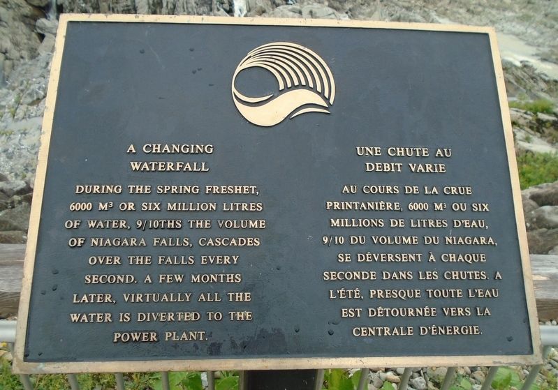
Photographed by William Fischer, Jr., August 18, 2018
1. A Changing Waterfall / Une chute au debit varie Marker

———————————————
Erected by Town of Grand Falls / la Ville de Grand-Sault.
Topics. This historical marker is listed in these topic lists: Environment • Industry & Commerce • Waterways & Vessels.
Location. 47° 3.101′ N, 67° 44.29′ W. Marker is in Grand Falls, New Brunswick. It can be reached from Chemin Madawaska. Marker is on the Grand Falls observation deck at the Malobiannah Tourist Information Centre. Touch for map. Marker is at or near this postal address: 25 Chem Madawaska, Grand Falls NB E3Y 1C6, Canada. Touch for directions.

Regionally, this marker is in the Upper Saint John River Valley. It is also
this page online
Other nearby markers. At least 8 other markers are within walking distance of this marker: O. B. Davis Park and Lovers' Lane (about 180 meters away, measured in a direct line); Bridges and Piers / Ponts et piliers (about 180 meters away); German 77mm Gun (approx. 0.3 kilometers away); World War I Memorial (approx. 0.3 kilometers away); World War II Memorial (approx. 0.3 kilometers away); Acadia of the Lands and Forests / l'Acadie des terres et forêts (approx. 0.4 kilometers away); World Wars Memorial (approx. 0.6 kilometers away); Fort Carleton (approx. 0.6 kilometers away). Touch for a list and map of all markers in Grand Falls.
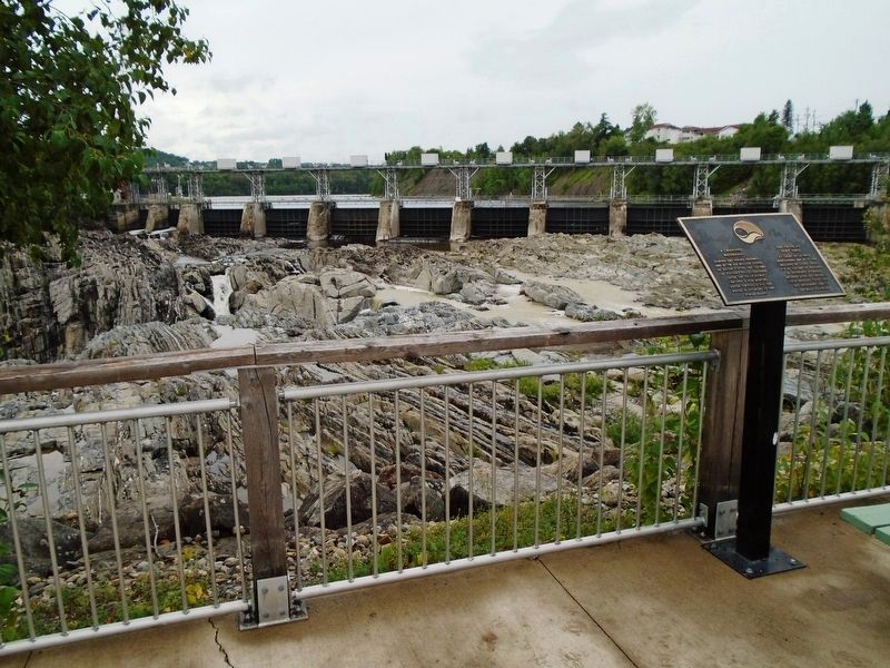
Photographed by William Fischer, Jr., August 18, 2018
2. A Changing Waterfall / Une chute au debit varie Marker and Grand Falls and Dam
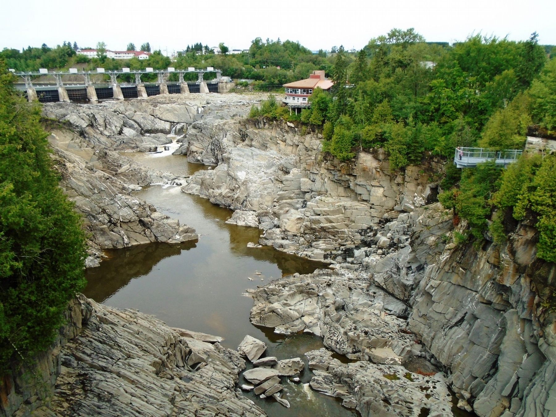
Photographed by William Fischer, Jr., August 18, 2018
3. Grand Falls, Dam, and the Malobiannah Tourist Information Centre
Credits. This page was last revised on March 14, 2026. It was originally submitted on October 27, 2018, by William Fischer, Jr. of Reynoldsburg, Ohio. This page has been viewed 475 times since then and 44 times this year. Photos: 1, 2, 3. submitted on October 27, 2018, by William Fischer, Jr. of Reynoldsburg, Ohio.
