Welcome to Combined Locks
Bienvenue à l'écluse combinée
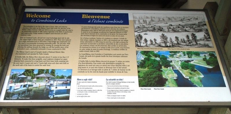
This lockstation is one link in the chain of rivers, lakes and waterway structures that make up the Rideau Canal. Built under the direction of the British military between 1826 and 1832 to serve as a supply route, the canal is an outstanding example of 19th century ingenuity in the fields of construction and engineering. A large number of original canal structures are still in existence today.
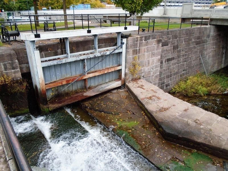
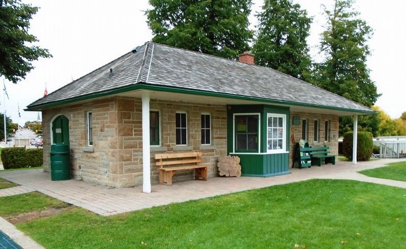
Here at Combined Locks, old and new technology stand side by side. The original flight of three locks was completed in 1831. These were replaced by a single automated lock in 1974 when a fixed bridge was constructed over the canal to accommodate increasing automobile traffic. The old locks, while not operational, have been preserved for viewing. By crossing the locks and following the pathway beneath the bridge you will find another piece of the lockstation's past, a defensible lockmaster's house constructed in 1841.
The Rideau Canal is part of Canada's family of National Historic Sites. It is maintained and operated by Parks Canada.
At Smiths Falls, the Rideau River descends almost 11 metres in less than 1/2 kilometre. To make that drop
navigable, canal engineers designed an upper, detached lock connected to a long basin and three lower locks emptying into the next reach. A waste weir and a 7-metre-high stone arch dam were built on the north side of the basin to control the water level.
[Top right drawing caption reads]
William Clegg, wash drawing, National Archives of Canada.
Ici, à l'écluse combinée, l'ancien et le moderne se côtoient. L'échelle de trois écluses originale, terminée en 1831, a été remplacée par une unique écluse automatisée en 1974, lorsqu'un pont fixe a été érigé au-dessue du canal pour accommoder la circulation automobile de plus en plus dense. Les anciennes écluses ont été préservées, bien qu'elles ne servent plus. En traversant les écluses et en suivant la piste sous le pont, vous trouverez
en autre vestige du passé du poste d'éclusage : la résidence fortifiée du maître éclusier, bâtie en 1841.Le Canal-Rideau, dont l'entretien et l'exploitation sont assurés par Parcs Canada, fait partie de la grande famille des lieux historiques nationaux du Canada.
À Smiths Falls, la rivière Rideau descend de presque 11 mètres sur moins d'un demi-kilomètre. Pour rendre cette dénivellation navigable, les ingénieurs du canal ont conçu en amont une écluse détachée reliée à un long bassin et, en aval, trois écluses se déversant dans le bief suivant. Un déversoir et un barrage-voûte en pierre de 7 mètres de hauteur on été construits sur la rive nord du bassin pour contrôler le niveau de l'eau.
[La légende du dessin en haut à droite se lit]
William Clegg, lavis, Archives nationales du Canada.
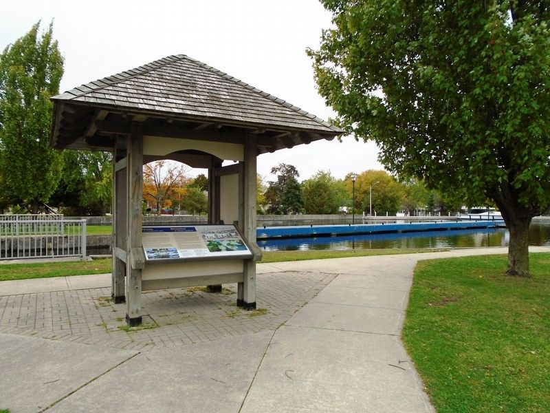
Erected by Parks/Parcs Canada.
Topics. This historical marker is listed in these topic lists: Man-Made Features • Parks & Recreational Areas • Waterways & Vessels. A significant historical year for this entry is 1826.
Location. 44° 53.816′ N, 76° 1.272′ W. Marker is in Smiths Falls, Ontario, in Lanark County. Marker is on Canal Street just west of Beckwith Street South (Provincial Highway 15), on the left when traveling west. Marker kiosk is just west of Smith Falls Combined
Other nearby markers. At least 8 other markers are within walking distance of this marker. Crossroads of the Rideau / À la croisée des chemins (here, next to this marker); HMCS/MHCS Smiths Falls (within shouting distance of this marker); Smiths Falls (within shouting distance of this marker); War Memorial (within shouting distance of this marker); Automated Lock / Une écluse automatique (within shouting distance of this marker); Rotary Club Swimming Pool Stone / La pierre de la piscine du club Rotary (within shouting distance of this marker); Parc Victoria Park (within shouting distance of this marker); The underwater view / La vue sous l'eau (within shouting distance of this marker). Touch for a list and map of all markers in Smiths Falls.
Also see . . . Rideau Canal National Historic Site. (Submitted on October 29, 2018, by William Fischer, Jr. of Scranton, Pennsylvania.)
Additional keywords. Welcome to Combined Locks
Credits. This page was last revised on November 5, 2018. It was originally submitted on October 29, 2018, by William Fischer, Jr. of Scranton, Pennsylvania. This page has been viewed 149 times since then and 4 times this year. Photos: 1, 2. submitted on October 29, 2018, by William Fischer, Jr. of Scranton, Pennsylvania. 3, 4, 5. submitted on November 5, 2018, by William Fischer, Jr. of Scranton, Pennsylvania.
