
Centro Histórico in Ciudad de México, Mexico — The Valley of Mexico (The Central Highlands)
Temple of San Miguel Arcángel
Photographed by J. Makali Bruton, October 11, 2018
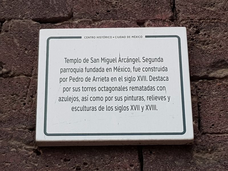
1. Temple of San Miguel Arcángel Marker

Templo de San Miguel Arcángel. Segunda parroquia fundada en México, fue construida por Pedro de Arrieta en el siglo XVII. Destaca por sus torres octagonales rematadas con azulejos, así como por sus pinturas, relieves y esculturas de los siglos XVII y XVIII.
Temple of San Miguel Arcángel. The second parish founded in Mexico, it was built by Pedro de Arrieta in the 17th century. Noted for its octagonal towers adorned with tiles, as well as for its paintings, reliefs and sculptures of the 17th and 18th centuries.
Topics. This historical marker is listed in these topic lists: Arts, Letters, Music • Colonial Era • Man-Made Features • Religion & Religious Structures.
Location. 19° 25.581′ N, 99° 8.02′ W. Marker is in Ciudad de México. It is in Centro Histórico. It is on José María Izazaga just west of José María Pino Suárez, on the right when traveling west. Touch for map. Marker is in this post office area: Ciudad de México 06000, Mexico. Touch for directions.

Regionally, this marker is in Central Mexico and specifically in Mexico
this page online
Other nearby markers. At least 8 other markers are within walking distance of this marker: Ceremonial Shrine of Ehécatl (about 150 meters away, measured in a direct line); Juana Inés de la Cruz (approx. 0.3 kilometers away); Joaquin Noreña (approx. 0.3 kilometers away); Elias Nahum (approx. 0.3 kilometers away); The First Cathedral of Mexico City (approx. 0.3 kilometers away); Hernando Cortés (approx. 0.3 kilometers away); Temple of San José de Gracia (approx. 0.3 kilometers away); The House of Juan Altamirano (approx. 0.3 kilometers away). Touch for a list and map of all markers in Ciudad de México.
Another marker is no longer nearby. Joaquín Cantolla y Rico (was about 210 meters away but has been confirmed missing).
Photographed by J. Makali Bruton, October 11, 2018
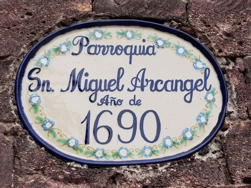
2. Parroquia Sn Miguel Arcángel año de 1690
Parish of Saint Michael Archangel, 1690
Photographed by J. Makali Bruton, October 11, 2018
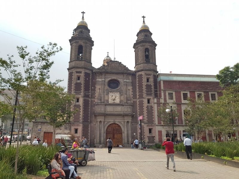
3. Temple of San Miguel Arcángel and Marker
Photographed by J. Makali Bruton, October 11, 2018
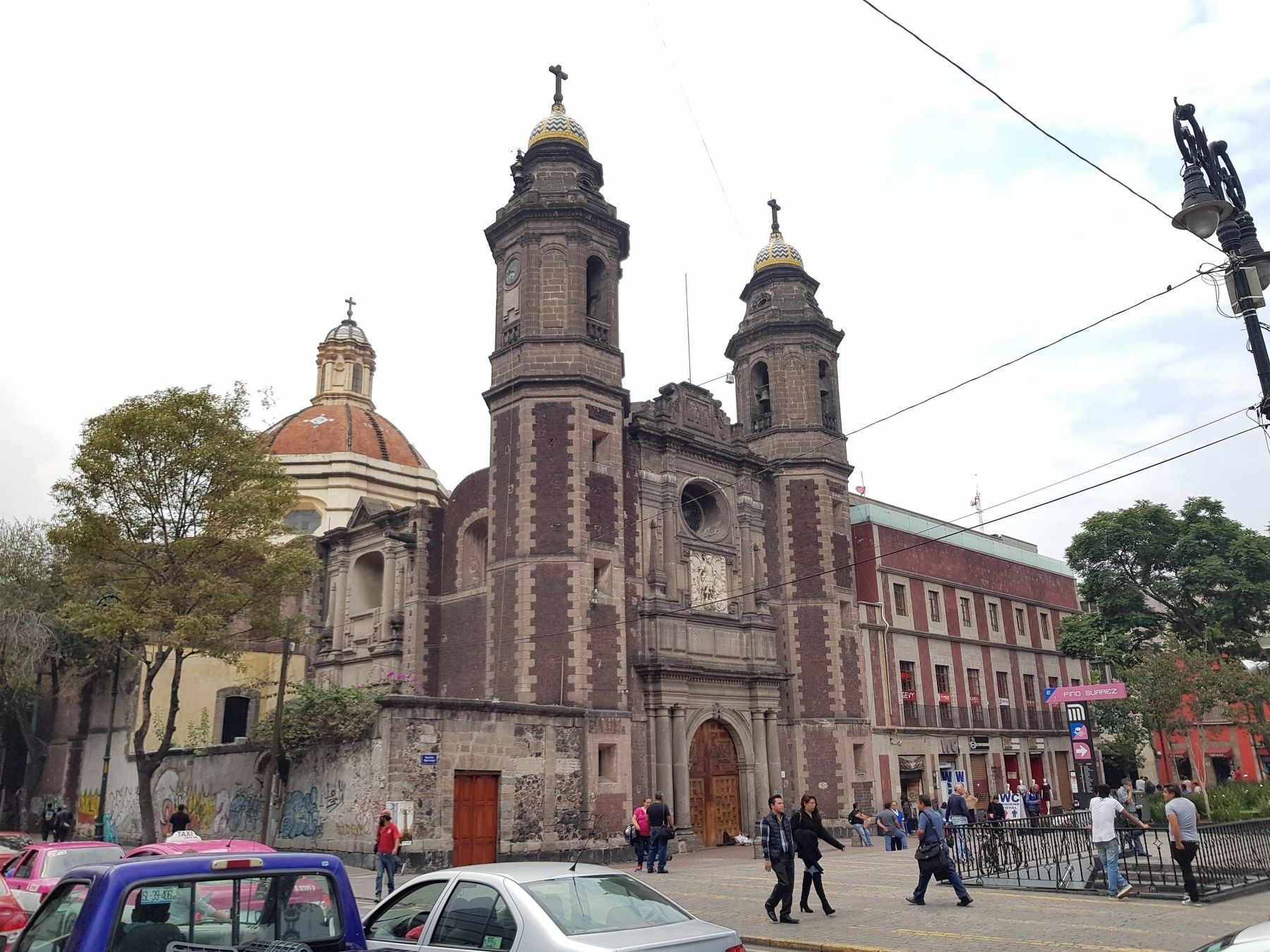
4. Temple of San Miguel Arcángel and Marker
Credits. This page was last revised on April 17, 2020. It was originally submitted on October 29, 2018, by J. Makali Bruton of Washington, District of Columbia. This page has been viewed 252 times since then and 15 times this year. Photos: 1, 2, 3, 4. submitted on October 29, 2018, by J. Makali Bruton of Washington, District of Columbia.
