
Near Caldwell in Burleson County, Texas — The American South (West South Central)
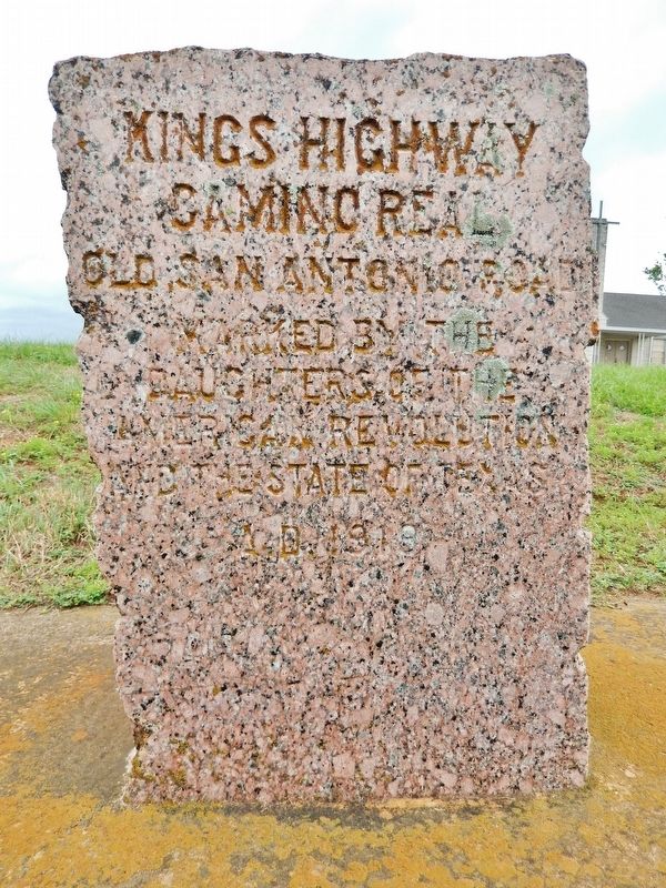
Kings Highway
Camino Real
| — | Old San Antonio Road | — |
Photographed by Cosmos Mariner, May 26, 2014
1. Kings Highway Marker
Daughters of the
American Revolution
and The State of Texas
A.D. 1919
Erected 1919 by Daughters of the American Revolution & The State of Texas. (Marker Number 50.)
Topics and series. This historical marker is listed in these topic lists: Colonial Era • Roads & Vehicles. In addition, it is included in the Daughters of the American Revolution (DAR), and the El Camino Real de los Tejas National Historic Trail series lists.
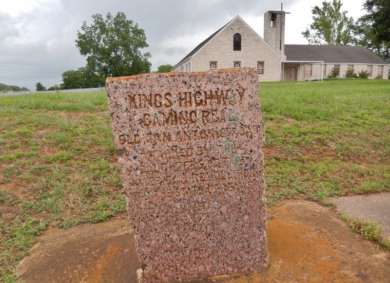
Location. 30° 35.766′ N, 96° 36.633′ W. Marker is near Caldwell, Texas, in Burleson County. It is at the intersection of Presidential Corridor E (State Highway 21) and County Road 216, on the right when traveling west on Presidential Corridor E. Marker is located in a pull-out in front of the Cooks Point Bretheren Church. Touch for map. Marker is at or near this postal address: 6945 TX-21, Caldwell TX 77836, United States of America. Touch for directions.

Regionally, this marker is in the Prairies & Lakes Region. It is also in the American South. Globally, it is in North America, a Gulf of Mexico state, the Western Hemisphere,
this page online
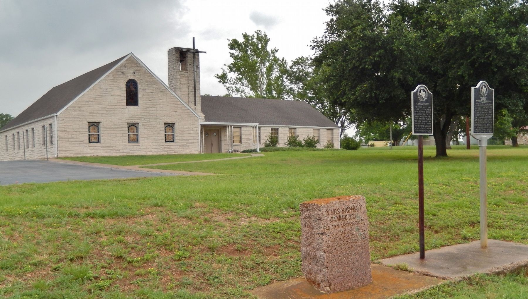
Other nearby markers. At least 8 other markers are within 5 miles of this marker, measured as the crow flies: Cooks Point (here, next to this marker); Near Homesite of Judge Andrew S. Broaddus (here, next to this marker); Elizabeth Chapel Methodist Church (approx. 1.8 miles away); Fort Tenoxtitlan (approx. 1.8 miles away); Duewall House (approx. 2.7 miles away); Goodwill Missionary Baptist Church (approx. 3.3 miles away); New Tabor Brethren Church (approx. 4.1 miles away); Kings Highway Camino Real — Old San Antonio Road (approx. 4.1 miles away). Touch for a list and map of all markers in Caldwell.
More about this marker. Approximately 128 identical markers were placed, at roughly 5 mile intervals, by the DAR in 1918 throughout Texas to mark the route of the historic highway. This is marker number 50, when traveling from east to west, along the route.
Photographed by Cosmos Mariner, May 26, 2014
2. Kings Highway Marker (wide view)
Photographed by Cosmos Mariner, May 26, 2014
3. Kings Highway Marker (wide view showing adjacent markers)
Credits. This page was last revised on May 9, 2022. It was originally submitted on December 6, 2017, by Cosmos Mariner of Cape Canaveral, Florida. This page has been viewed 904 times since then and 51 times this year. Last updated on October 30, 2018, by Brian Anderson of New Albany, Ohio. Photos: 1, 2, 3. submitted on December 6, 2017, by Cosmos Mariner of Cape Canaveral, Florida. • Andrew Ruppenstein was the editor who published this page.
