St. Augustine in St. Johns County, Florida — The American South (South Atlantic)
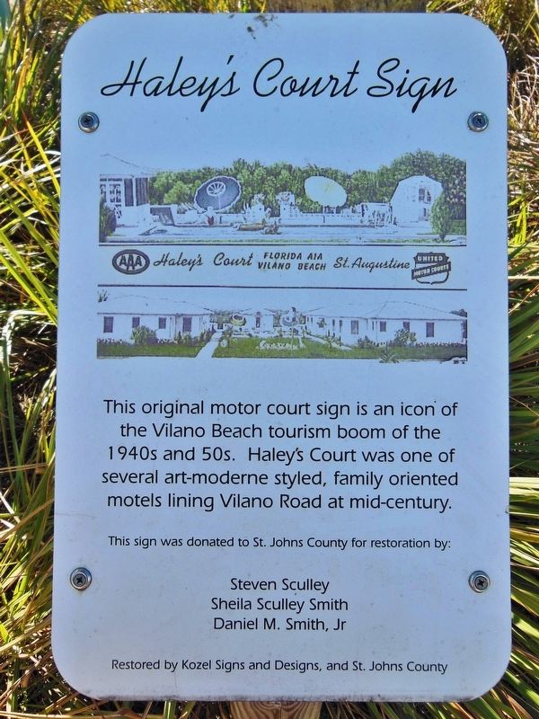
Haley's Court Sign
Photographed by Cosmos Mariner, December 19, 2013
1. Haley's Court Sign Marker
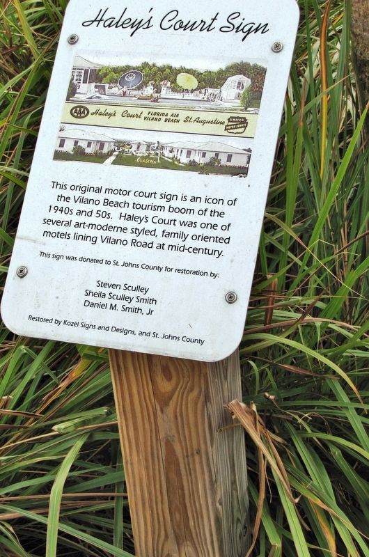
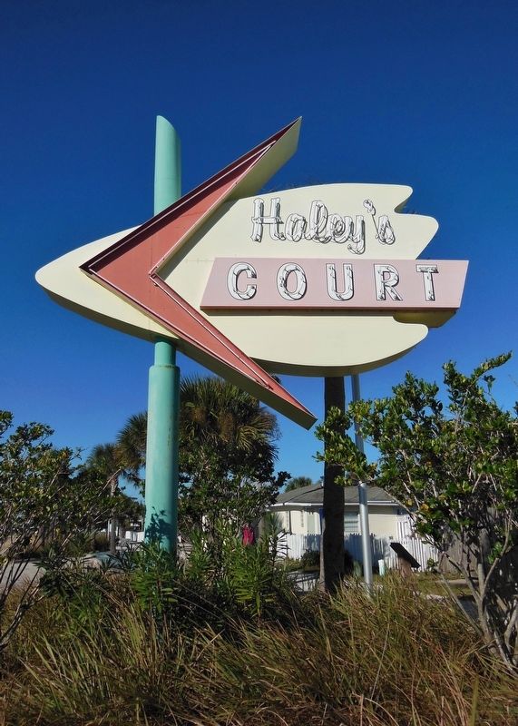
This original motor court sign is an icon of the Vilano Beach tourism boom of the 1940s and 50s. Haley’s Court was one of several art-moderne styled, family oriented motels lining Vilano Road at mid-century.
Steven Sculley * Sheila Sculley Smith * Daniel M. Smith, Jr.
Restored by Kozel Signs and Designs, and St. Johns County
Topics. This historical marker is listed in these topic lists: Industry & Commerce • Parks & Recreational Areas • Roads & Vehicles.
Location. 29° 55.011′ N, 81° 17.706′ W. Marker is in St. Augustine, Florida, in St. Johns County. It is on Vilano Road east of Poplar Avenue, on the right when traveling east. Marker is located beside the sidewalk, adjacent to the subject sign, directly in front of the former Haley's Court buildings, now in use as beach apartments. Touch for map. Marker is at or near this postal address: 150 Vilano Avenue, Saint Augustine FL 32084, United States of America. Touch for directions.

Regionally, this marker is in First Coast and in Greater Jacksonville.
this page online
Other nearby markers. At least 8 other markers are within 2 miles of this marker, measured as the crow flies: Vilano Beach Casino (approx. ¼ mile away); Surfside Dance Hall and Bathhouse (approx. half a mile away); Nease House (approx. 0.7 miles away); Allen D. Nease (approx. 0.7 miles away); a different marker also named Nease House (approx. 0.7 miles away); The Francis and Mary Usina Bridge (approx. 0.9 miles away); Welcome (approx. 1.3 miles away); Don Juan Ponce De Leon (approx. 1.3 miles away). Touch for a list and map of all markers in St. Augustine.
More about this marker. Marker is a painted metal plaque, mounted horizontally on a waist-high post.
Also see . . . Vilano Beach. Town website homepage:
Vilano Beach was platted
Photographed by Cosmos Mariner, December 21, 2011
2. Haley's Court Sign Marker (tall view)
Photographed by Cosmos Mariner, December 19, 2013
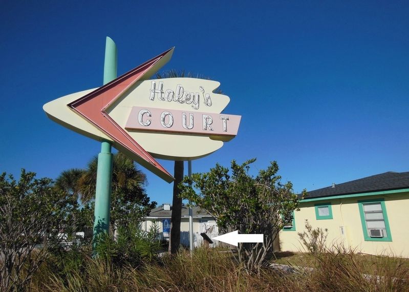
3. Haley's Court Sign Marker (wide view; marker visible beside sign)
Photographed by Cosmos Mariner, December 21, 2011
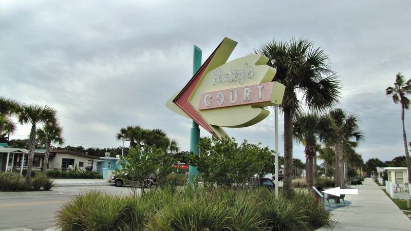
4. Haley's Court Sign Marker (sidewalk view; marker visible beside sign)
Photographed by Cosmos Mariner, December 19, 2013
5. Haley's Court Sign
Photographed by Cosmos Mariner, December 21, 2011
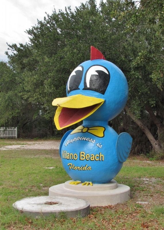
6. Vilano Beach "Bluebird of Happiness"
Motel owners Newton T. and Wilda Haley bought this bird for $100, painted it and called it the “Bluebird of Happiness.” It stands proudly nearby, and serves as the Vilano Beach mascot once again!
Credits. This page was last revised on July 5, 2023. It was originally submitted on October 30, 2018, by Cosmos Mariner of Cape Canaveral, Florida. This page has been viewed 1,558 times since then and 56 times this year. Photos: 1, 2, 3, 4, 5. submitted on October 30, 2018, by Cosmos Mariner of Cape Canaveral, Florida. 6. submitted on November 10, 2018, by Cosmos Mariner of Cape Canaveral, Florida. • Andrew Ruppenstein was the editor who published this page.
