Morrow in Clayton County, Georgia — The American South (South Atlantic)
The March to the Sea
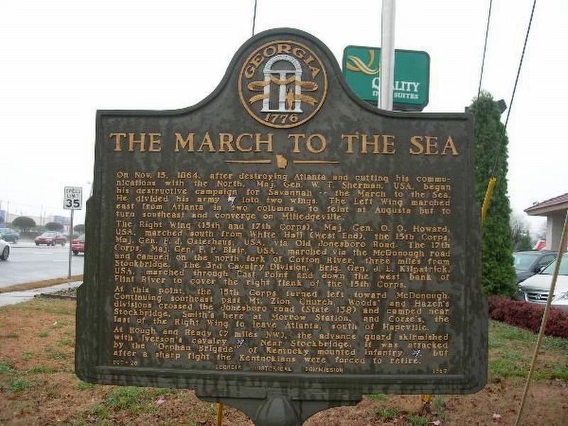
Inscription.
On Nov. 15, 1864, after destroying Atlanta and cutting his communications with the North, Maj. Gen. W. T. Sherman, USA, began his destructive campaign for Savannah -- the March to the Sea. He divided his army [US] into two wings. The Left Wing marched east from Atlanta in two columns, to feint at Augusta but to turn southeast and converge on Milledgeville.
The Right Wing (15th and 17th Corps), Maj. Gen. O. O. Howard, USA, marched south from White Hall (West End), the 15th Corps, Maj. Gen. P. J. Osterhaus, USA, via Old Jonesboro Road. The 17th Corps, Maj. Gen. F. P. Blair, USA, marched via the McDonough road and camped on the north fork of Cotton River, three miles from Stockbridge. The 3rd Cavalry Division, Brig. Gen. J. L. Kilpatrick, USA, marched through East Point and down the west bank of Flint River to cover the right flank of the 15th Corps.
At this point, the 15th Corps turned left toward McDonough. Continuing southeast past Mt. Zion Church, Woods' and Hazen's divisions crossed the Jonesboro road (State 138) and camped near Stockbridge, Smith's here at Morrow Station, and Corse's, the last of the Right Wing to leave Atlanta, south of Hapeville.
At Rough and Ready (7 miles NW), the advance guard skirmished with Iverson's cavalry [CS]. Near Stockbridge, it was attacked by the "Orphan Brigade" of Kentucky mounted infantry [CS], but after a sharp fight the Kentuckians were forced to retire.
Erected 1957 by Georgia Historical Commission. (Marker Number 031-20.)
Topics and series. This historical marker is listed in these topic lists: Roads & Vehicles • War, US Civil. In addition, it is included in the Georgia Historical Society series list. A significant historical date for this entry is October 15, 1864.
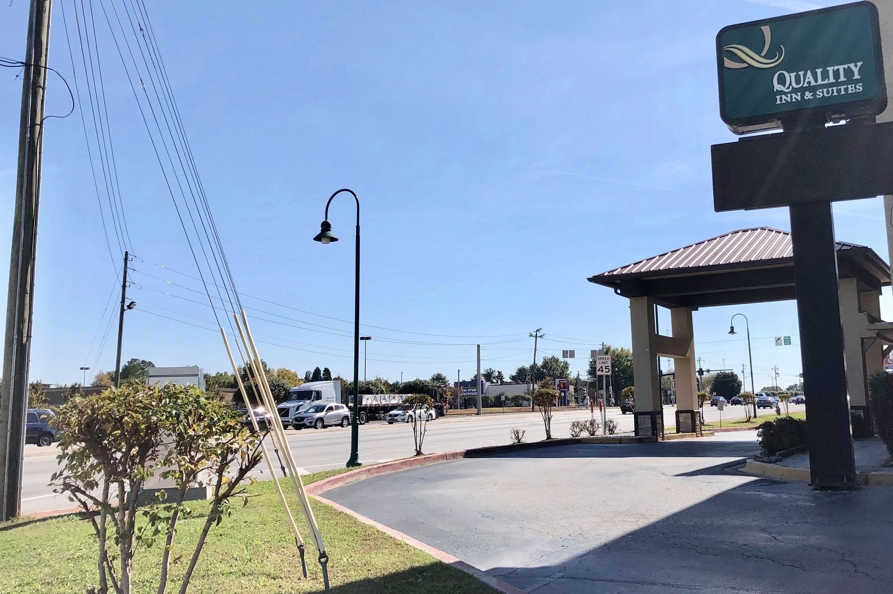
Location. Marker is missing. It was located near 33° 34.509′ N, 84° 20.514′ W. Marker was in Morrow, Georgia, in Clayton County. Marker could be reached from the intersection of Jonesboro Road (Georgia Route 54) and Interstate 75, on the right when traveling south. Touch for map. Marker was at or near this postal address: 6597 Jonesboro Road, Morrow GA 30260, United States of America. Touch for directions.
Other nearby markers. At least 8 other markers are within 3 miles of this location, measured as the crow flies. Morrow, Georgia (approx. 0.6 miles away); Hardee’s Detour (approx. 2.1 miles away); Fort Gillem (approx. 2.8 miles away); Flankers Road (approx. 2.9 miles away); Hood Avenue (approx. 2.9 miles away); Iverson Gate (approx. 2.9 miles away); Battle of Jonesboro The Second Day (approx. 2.9 miles away); The Warren House (approx. 3 miles away).
Credits. This page was last revised on May 6, 2020. It was originally submitted on November 1, 2018, by Mark Hilton of Montgomery, Alabama. This page has been viewed 160 times since then and 6 times this year. Photos: 1. submitted on November 3, 2018, by Byron Hooks of Sandy Springs, Georgia. 2. submitted on November 1, 2018, by Mark Hilton of Montgomery, Alabama.

