Tepotzotlán, Mexico State, Mexico — The Central Highlands (North America)
17th Century Entryway
Photographed by J. Makali Bruton, October 16, 2018
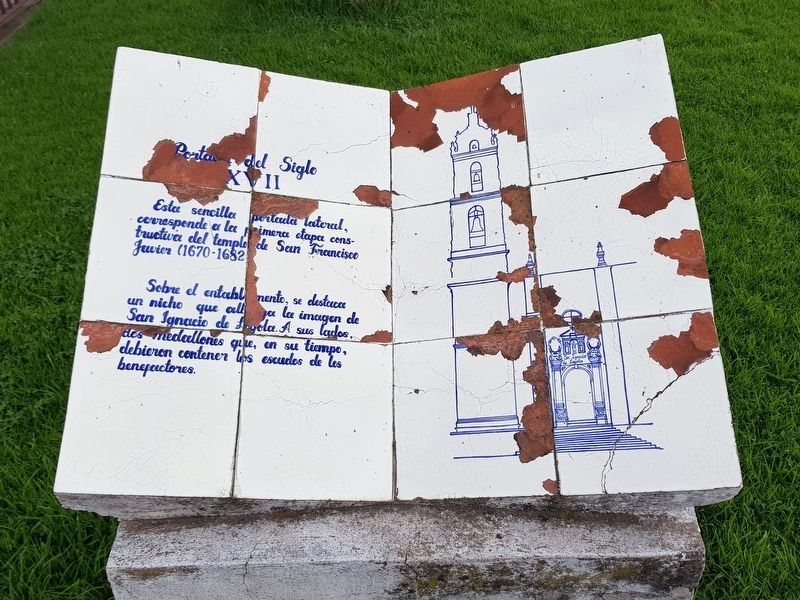
1. 17th Century Entryway Marker
The tile marker has been damaged.

Portada del Siglo XVII
Esta sencilla portada lateral, corresponde a la primera etapa constructiva del templo de San Francisco Javier (1670-1682).
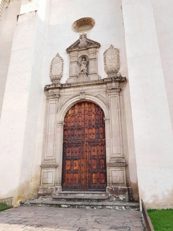
Sobre el entablamento, se destaca un nicho que alberga la imagen de San Ignacio de Loyola. A sus lados, dos medallones que, en su tiempo, debieron contener los escudos de los benefactores.
17th Century Entryway
This simple side entryway corresponds to the first stage of construction of the Temple of San Francisco Javier (1670-1682).
One of the interesting features of the structure is a niche that holds an image of Saint Ignacio of Loyola. On each side of the niche are medallions which earlier probably held the crests of the benefactors.
Topics. This historical marker is listed in these topic lists: Architecture • Colonial Era • Man-Made Features • Religion & Religious Structures.
Location. 19° 42.775′ N, 99° 13.348′ W. Marker is in Tepotzotlán, Estado de Mexico (Mexico State). It is on Avenida Insurgentes just north of Calle Aile, on the right when traveling west. Touch for map. Marker is
this page online

Regionally, this marker is in Central Mexico and specifically in Mexico City Metropolitan Area. Globally, it is in North America, specifically in Mesoamerica, on the Ring of Fire, and in the Western Hemisphere. Historically, it finds itself in what was once New Spain, a Spanish colony, and the Aztec Empire.
Other nearby markers. At least 8 other markers are within 14 kilometers of this marker, measured as the crow flies: Principal Facade of the San Francisco Javier Church (a few steps from this marker); The Royal Inland Road at Tepotzotlán (within shouting distance of this marker); Atrium of the Olives (within shouting distance of this marker); Camino Real de Tierra Adentro (about 90 meters away, measured in a direct line); Old Jesuit School of San Martín (about 120 meters away); The Cloister of San Francisco Javier (about 120 meters away); The Aqueduct of Xalpa (approx. 14 kilometers away); Sierra of Tepotzotlán (approx. 14.1 kilometers away). Touch for a list and map of all markers in Tepotzotlán.
Photographed by J. Makali Bruton, October 16, 2018
2. 17th Century Entryway mentioned in the marker text, on the south side of the temple
Photographed by J. Makali Bruton, October 16, 2018
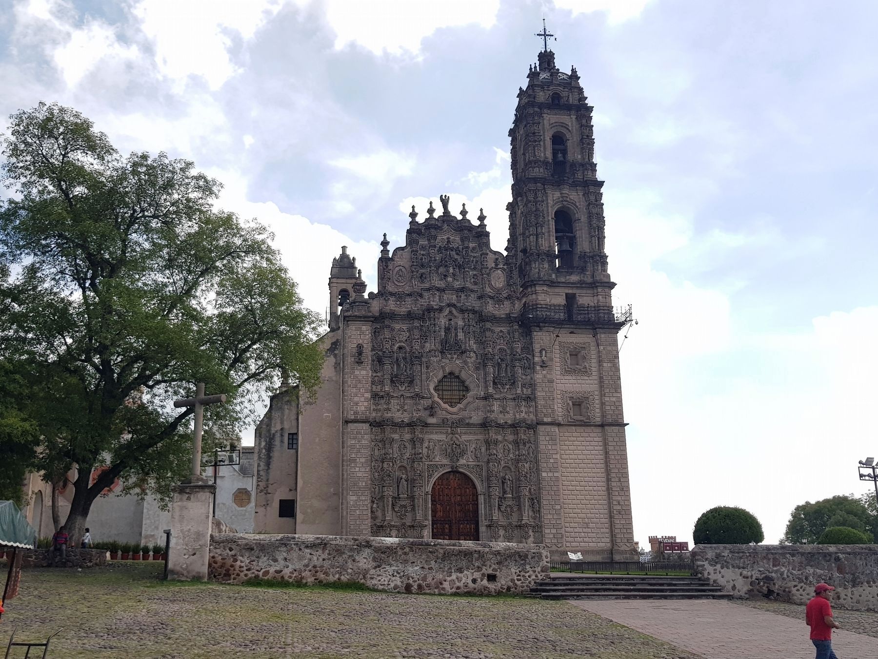
3. 17th Century Entryway Marker
The marker can be seen in front of the Temple of San Francisco Javier, to the right of center.
Credits. This page was last revised on November 4, 2018. It was originally submitted on November 3, 2018, by J. Makali Bruton of Washington, District of Columbia. This page has been viewed 195 times since then and 15 times this year. Photos: 1, 2, 3. submitted on November 3, 2018, by J. Makali Bruton of Washington, District of Columbia.
