Tepotzotlán, Mexico State, Mexico — The Central Highlands (North America)
Camino Real de Tierra Adentro
The Royal Inland Road
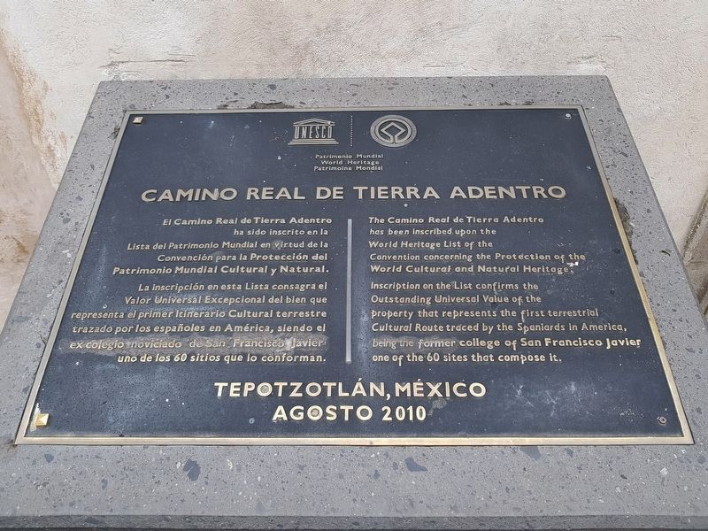
El Camino Real de Tierra Adentro ha sido inscrito en la Lista del Patrimonio Mundial en virtud de la Convención para la Protección del Patrimonio Mundial Cultural y Natural. La inscripción en esta Lista consagra el Valor Universal Excepcional del bien que representa el primer Itinerario Cultural terrestre trazado por los espańoles en América, siendo el ex colegio noviciado de San Francisco Javier uno de los 60 sitios que lo conforman.
The Camino Real de Tierra Adentro has been inscribed upon the World Heritage List of the Convention concerning the Protection of the World Cultural and Natural Heritage. Inscription on the List confirms the Outstanding Universal Value of the property that represents the first terrestrial Cultural Route traced by the Spaniards in America, being the former college of San Francisco Javier one of the 60 sites that compose it.
Tepotzotlán, México Agosto 2010
Erected 2010.
Topics and series. This historical marker is listed in these topic lists: Colonial Era • Man-Made Features • Roads & Vehicles. In addition, it is included in the El Camino Real de Tierra Adentro series list. A significant historical year for this entry is 2010.
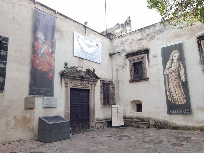
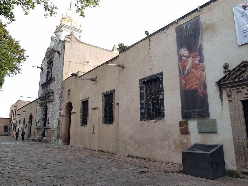
Location. 19° 42.811′ N, 99° 13.318′ W. Marker is in Tepotzotlán, Estado de Mexico (Mexico State). Marker can be reached from General Ignacio Zaragoza just east of Virreynal, on the right when traveling north. Touch for map. Marker is in this post office area: Tepotzotlán MEX 54600, Mexico. Touch for directions.
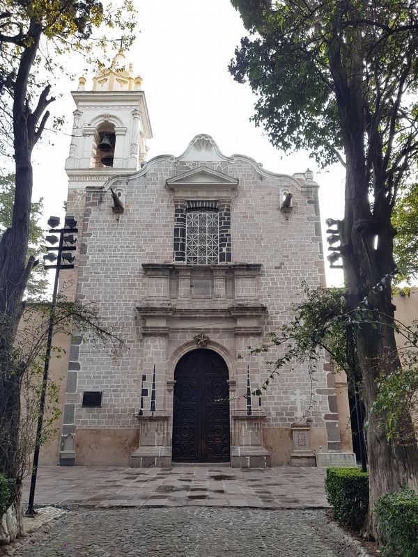
Other nearby markers. At least 8 other markers are within 14 kilometers of this marker, measured as the crow flies. Atrium of the Olives (within shouting distance of this marker); Principal Facade of the San Francisco Javier Church (within shouting distance of this marker); 17th Century Entryway (about 90 meters away, measured in a direct line); Old Jesuit School of San Martín (about 90 meters away); The Royal Inland Road at Tepotzotlán (about 90 meters away); The Cloister of San Francisco Javier (about 120 meters away); The Aqueduct of Xalpa (approx. 14 kilometers away); Sierra of Tepotzotlán (approx. 14.1 kilometers away). Touch for a list and map of all markers in Tepotzotlán.
Credits. This page was last revised on August 29, 2019. It was originally submitted on November 4, 2018, by J. Makali Bruton of Accra, Ghana. This page has been viewed 126 times since then and 14 times this year. Photos: 1, 2, 3, 4. submitted on November 4, 2018, by J. Makali Bruton of Accra, Ghana.


