
Near Grand Canyon Village in Coconino County, Arizona — The American Mountains (Southwest)
Spanish Discovery
Photographed by Bernard Fisher, October 9, 2018
1. Spanish Discovery Marker
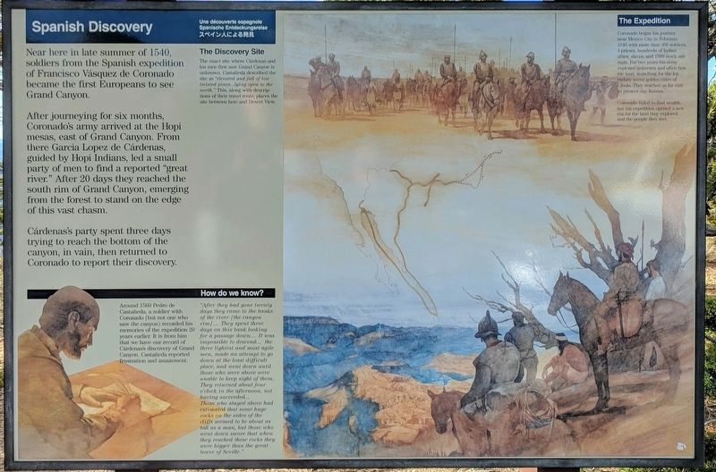
Near here in late summer of 1540, soldiers from the Spanish expedition of Francisco Vasquez de Coronado became the first Europeans to see Grand Canyon.
After journeying for six months, Coronado's army arrived at the Hopi mesas, east of Grand Canyon. From there Garcia Lopez de Cardenas, guided by Hopi Indians, led a small party of men to find a reported "great river." After 20 days they reached the south rim of Grand Canyon, emerging from the forest to stand on the edge of this vast chasm.
Cardenas's party spent three days trying to reach the bottom of the canyon, in vain, then returned to Coronado to report their discovery.
The Discovery Site
The exact site where Cardenas and his men first saw Grand Canyon is unknown. Castaneda described the site as "elevated and full of low twisted pines...lying open to the north." This, along with descriptions of their travel route, places the site between here and Desert View.
The Expedition
Coronado began his journey near Mexico City in February 1540, with more than 300 soldiers., 4 priests, hundreds of Indian allies, slaves, and 1500 stock animals. For two years
this page online
Coronado failed to find wealth, but his expedition opened a new era for the land they explored and the people they met.
How do we know?
Around 1560 Pedro de Castaneda, a soldier with Coronado (but not one who saw the canyon) recorded his memories of the expedition 20 years earlier. It is from that we have our record of Cardenas's discovery of the Grand Canyon. Castaneda reported frustration and amazement:
"After they had gone twenty days they came to the banks of the river (the canyon rim).... They spent three days on this bank looking for a passage down.... It was impossible to descend... the three lightest and most agile men, made an attempt to go down at the least difficult place, and went down until those who were above were unable to keep sight of them. They returned about four o'clock in the afternoon, not having succeeded... Those who stayed above had estimated that some huge rocks on the sides of the cliffs seemed to be about as tall as a man, but those who went down swore that when they reached these rocks they were bigger than the great tower of Seville."
Topics.
Photographed by Bernard Fisher, October 9, 2018
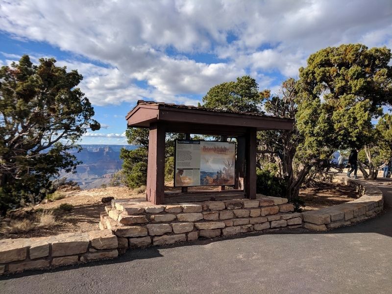
2. Spanish Discovery Marker at Moran Point
Location. 36° 0.293′ N, 111° 55.452′ W. Marker is near Grand Canyon Village, Arizona, in Coconino County. It can be reached from Desert View Drive (Arizona Route 64) 14.6 miles east of South Entrance Road, on the left when traveling east. Located at the Moran Point overlook in Grand Canyon National Park. Touch for map. Marker is in this post office area: Grand Canyon AZ 86023, United States of America. Touch for directions.

Regionally, this marker is in Flagstaff & High Country and in Hopi. It is also in the American Southwest, in the Mountain West, on the Colorado Plateau, and at the Four Corners. Globally, it is in North America, the Western Hemisphere, the Western World, and the Anglosphere. Historically, it finds itself in what was once New Spain and also Mexico’s Alta California.
Other nearby markers. At least 8 other markers are within 4 miles of this marker, measured as the crow flies: Canyon on Canvas (within shouting distance
Photographed by Bernard Fisher, October 9, 2018
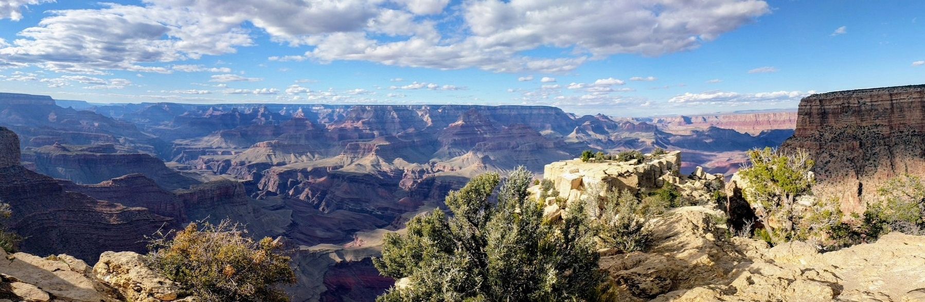
3. Moran Point in Grand Canyon National Park
Also see . . . Grand Canyon National Park. National Park Service (Submitted on October 10, 2018.)
Credits. This page was last revised on September 12, 2026. It was originally submitted on October 10, 2018, by Bernard Fisher of Richmond, Virginia. This page has been viewed 1,074 times since then and 109 times this year. Last updated on November 5, 2018, by T. Patton of Jefferson, Georgia. Photos: 1, 2. submitted on October 10, 2018, by Bernard Fisher of Richmond, Virginia. 3. submitted on October 14, 2018, by Bernard Fisher of Richmond, Virginia. • Andrew Ruppenstein was the editor who published this page.
