Lititz in Lancaster County, Pennsylvania — The American Northeast (Mid-Atlantic)
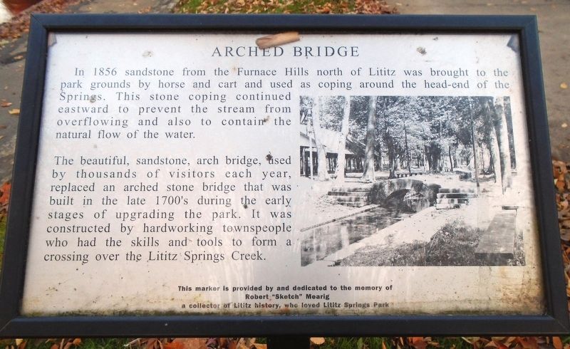
Arched Bridge
Photographed by William Fischer, Jr., November 11, 2018
1. Arched Bridge Marker
In 1856 sandstone from the Furnace Hills north of Lititz was brought to the park grounds by horse and cart and used as coping around the head-end of the Springs. This stone coping continued eastward to prevent the stream from overflowing and also to contain the natural flow of the water.
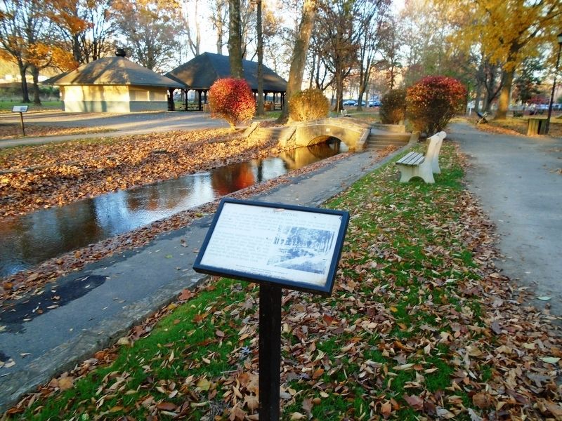
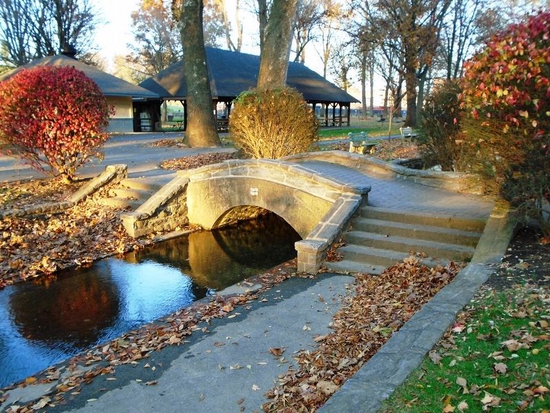
The beautiful, sandstone, arch bridge, used by thousands of visitors each year, replaced an arched stone bridge that was built in the late 1700's during the early stages of upgrading the park. It was constructed by hardworking townspeople who had the skills and tools to form a crossing over the Lititz Springs Creek.
Robert "Sketch" Mearig
a collector of Lititz history, who loved Lititz Springs Park
Erected 2009.
Topics. This historical marker is listed in these topic lists: Bridges & Viaducts • Man-Made Features • Parks & Recreational Areas. A significant historical year for this entry is 1856.
Location. 40° 9.432′ N, 76° 18.669′ W. Marker is in Lititz, Pennsylvania, in Lancaster County. It can be reached from North Broad Street. Touch for map. Marker is at or
this page online

Regionally, this marker is in South-Central Pennsylvania, specifically in Pennsylvania Dutch Country, and in the Susquehanna Valley. It is also in the American Northeast and in the Mid-Atlantic. Globally, it is in North America, the Western Hemisphere, the Western World, and the Anglosphere. Historically, it finds itself in what was once the Haudenosaunee (Iroquois) Confederacy and also one of the original Thirteen Colonies.
Other nearby markers. At least 8 other markers are within walking distance of this marker: Last Memorial Day Encampment (here, next to this marker); Springs Head-End (a few steps from this marker); Music Pavilion (a few steps from this marker); Beck Memorial Band Shell (a few steps from this marker); Paul E. Beck Memorial Band Shell (within shouting distance of this marker); An Icon of Lititz Springs Park (within shouting distance of this marker); Round House (within shouting distance of this marker); "Steps of Progress" (within shouting distance of this marker). Touch for a list and map
Photographed by William Fischer, Jr., November 11, 2018
2. Arched Bridge and Marker
Also see . . . Lititz Springs Park History. (Submitted on November 13, 2018, by William Fischer, Jr. of Reynoldsburg, Ohio.)
Photographed by William Fischer, Jr., November 11, 2018
3. Lititz Springs Park Arched Bridge
Credits. This page was last revised on January 4, 2026. It was originally submitted on November 13, 2018, by William Fischer, Jr. of Reynoldsburg, Ohio. This page has been viewed 352 times since then and 30 times this year. Photos: 1, 2, 3. submitted on November 13, 2018, by William Fischer, Jr. of Reynoldsburg, Ohio.
