Bradenton in Manatee County, Florida — The American South (South Atlantic)
La Florida's Early Peoples
Florida De Soto Trail
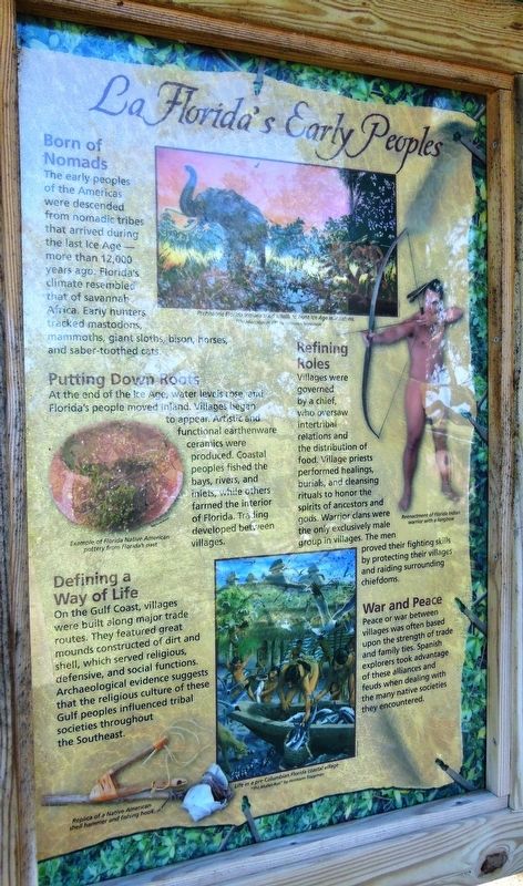
Born of Nomads
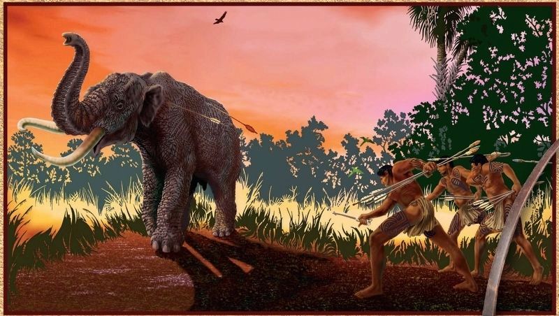
The early peoples of the Americas were descended from nomadic tribes that arrived during the last Ice Age—more than 12,000 years ago. Florida’s climate resembled that of savannah Africa. Early hunters tracked mastodons, mammoths, giant sloths, bison, horses, and saber-toothed cats.
Putting Down Roots
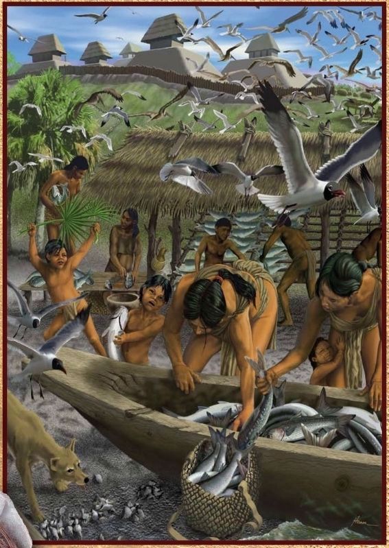
At the end of the Ice Age, water levels rose, and Florida’s people moved inland. Villages began to appear. Artistic and functional earthenware ceramics were produced. Coastal peoples fished the bays, rivers, and inlets, while others farmed the interior of Florida. Trading developed between villages.
Defining a Way of Life
On the Gulf Coast, villages were built along major trade routes. They featured great mounds constructed of dirt and shell, which served religious, defensive, and social functions. Archaeological evidence suggests that the religious culture of these Gulf peoples influenced tribal societies throughout the Southeast.
Refining Roles
Villages were governed by a chief, who oversaw intertribal relations and the distribution of food. Village priests performed healings, burials, and cleansing rituals to honor the spirits of ancestors and gods. Warrior clans were the only exclusively male group in villages. The men proved their fighting skills by protecting their villags and raiding surrounding chiefdoms.
War and Peace
Peace or war between villages was often based upon the strength of trade and family ties. Spanish explorers took advantage of these alliances and feuds when dealing with the many native societies they encountered.
Erected by Florida De Soto Trail, Florida Department of Transportation, the Florida Park Service, and the National Park Service. (Marker Number 1b.)
Topics. This historical marker is listed in these topic lists: Anthropology & Archaeology • Native Americans.
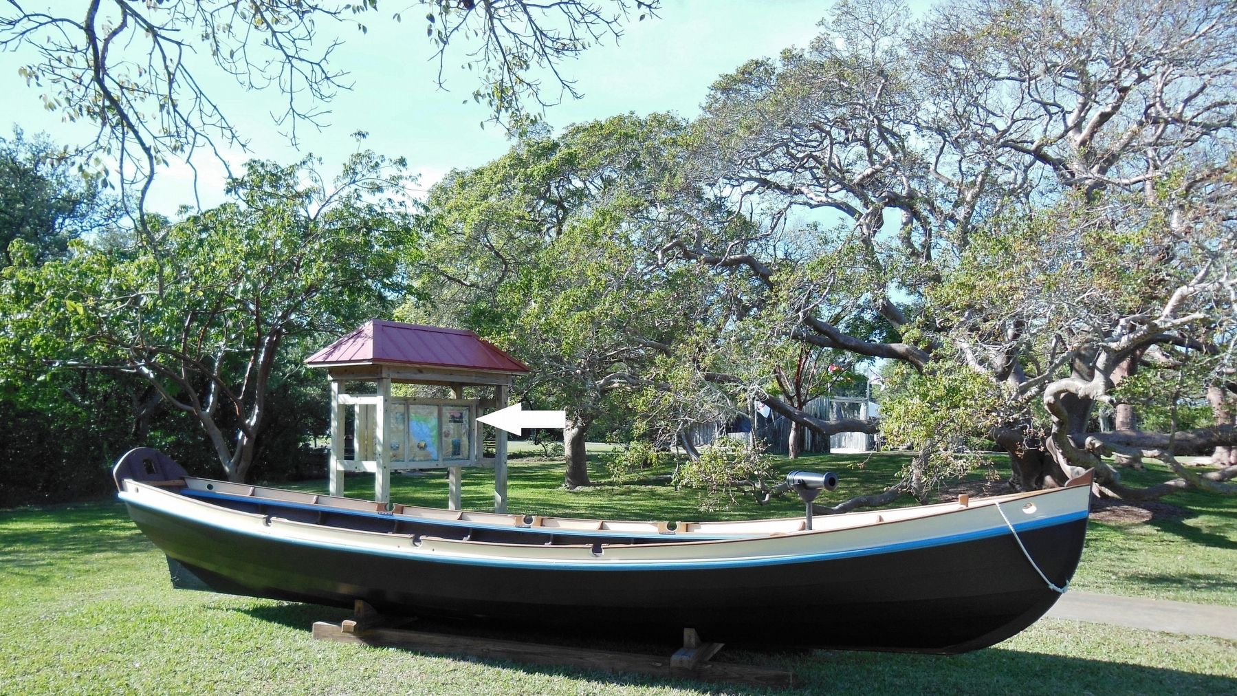
Location. 27° 31.424′ N, 82° 38.652′ W. Marker is in Bradenton, Florida, in Manatee County. Marker can be reached from Desoto Memorial Highway (75th Street NW), 0.2 miles north of 24th Avenue NW when traveling north. Marker is located within the DeSoto National Memorial Park, along the walkway between the main front entrance and the park Visitor Center. This marker is the right-end panel of a 3-panel kiosk. Touch for map. Marker is at or near this postal address: 8300 Desoto Memorial Highway, Bradenton FL 34209, United States of America. Touch for directions.
Other nearby markers. At least 8 other markers are within walking distance of this marker. Hernando de Soto (here, next to this marker); De Soto Trail Monument (a few steps from this marker); The Spanish Crown
(within shouting distance of this marker); DeSoto Trail (within shouting distance of this marker); The Landing (within shouting distance of this marker); Knight of Santiago (within shouting distance of this marker); Camp Uzita (within shouting distance of this marker); Tabby House Ruins (approx. 0.2 miles away). Touch for a list and map of all markers in Bradenton.
Related markers. Click here for a list of markers that are related to this marker. Florida De Soto Trail
Credits. This page was last revised on December 15, 2020. It was originally submitted on October 24, 2018, by Cosmos Mariner of Cape Canaveral, Florida. This page has been viewed 313 times since then and 26 times this year. Last updated on November 21, 2018, by Cosmos Mariner of Cape Canaveral, Florida. Photos: 1, 2, 3, 4. submitted on October 25, 2018, by Cosmos Mariner of Cape Canaveral, Florida. • Bernard Fisher was the editor who published this page.


