Ruskin in Hillsborough County, Florida — The American South (South Atlantic)
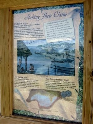
Staking Their Claim
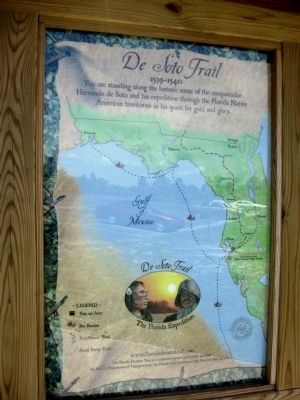
Florida De Soto Trail
— June 1, 1539 —
(Left panel)
1539-1540
You are standing along the historic route of the conquistador Hernando de Soto and his expedition through the Florida Native American territories in his quest for gold and glory.
(Map legend)
De Soto Trail
The Florida Expedition
You are here
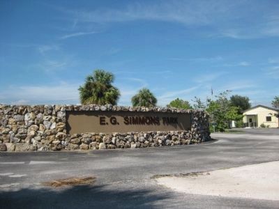
E.G. Simmons Park
(Native American Village of Uzita)
- Legend -
• You are here
• Sea Routes
• Foot/Horse Trail
• Scout Party Trail
The Florida De Soto Trail is a cooperative project between
the Florida Department of Transportation, the Florida Park Service, and the National Park Service.
(Right panel)
It's June 1, 1539...
Hernando de Soto and his men have established a fortified base camp in this area—
We are occupying an abandoned Indian village. To defend the site, we constructed a wooden palisade around the perimeter. I dispatched cavalry to search the area for Indians to use as guides and interpreters. After several minor skirmishes, the men returned with prisoners. They tell us this village is know as Ucita.
"The land round about was greatly encumbered and choked with a vast lofty forest. The Governor [De Soto] ordered it to be cut down for the space of a crossbow shot about the town, in order that the horses might run and the Christians have the advantage of the Indians if the latter should by chance try to attack by night."
- Account by Rodrigo Rangel
The De Soto Chronicles
The Native Path
The coastal people of Florida lived in village societies governed by a hereditary chief, or cacique. Archaeological evidence shows these people traded seafood, shells, and game with tribes to the north for goods like corn, pottery, and stone arrow points.
The Conquistador Trail
The territory known as La Florida was larger than present-day Florida. According to 16th-century Spanish maps, La Florida encompassed all of the American Southeast, as far north as Virginia and as far west as Texas.
(captions)
Coastal Florida Indian village in the 16th century
"Calusa" by Dean Quigley
Native American silver hair decoration
Replica of a Spanish navigational map from 1584 of the territory of La Florida, sometimes referred to as the De Soto map
Spanish coins found at the De Soto winter encampment site in Tallahassee, Florida
Erected by the Florida Department of Transportation, the Florida Park Service, and the National Park Service. (Marker Number 4.)
Topics. This historical marker is listed in these topic lists: Colonial Era • Exploration • Native Americans. A significant historical date for this entry is June 1, 1539.
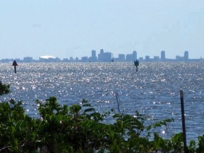
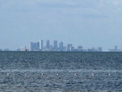
Location. 27° 44.824′ N, 82° 28.332′ W. Marker is in Ruskin, Florida, in Hillsborough County. Marker is on E.G. Simmons Park Drive, 3.2 miles west of South Tamiami Trail (U.S. 41). The marker is located adjacent to the beach parking lot on the grounds of E. G. Simmons Park, a Hillsborough County public park overlooking Tampa Bay. (Note: marker access depends on park operating hours). Touch for map. Marker is at or near this postal address: 2401 19th Avenue NW, Ruskin FL 33570, United States of America. Touch for directions.
Other nearby markers. At least 8 other markers are within 6 miles of this marker, measured as the crow flies. Ruskin College President's Home (approx. 3.2 miles away); Miracle at Cockroach Bay The Leisey Shell Fossils (approx. 3.8 miles away); Landing in La Florida (approx. 4.3 miles away); Do You See a Manatee? (approx. 5.2 miles away); Listen carefully to hear a manatee! (approx. 5.2 miles away); What Role Do Mangroves Play In An Estuary? (approx. 5.4 miles away); Long-Legged Wading Birds Stalk the Shallows (approx. 5.4 miles away); Storm Water and the Estuary (approx. 5.4 miles away). Touch for a list and map of all markers in Ruskin.
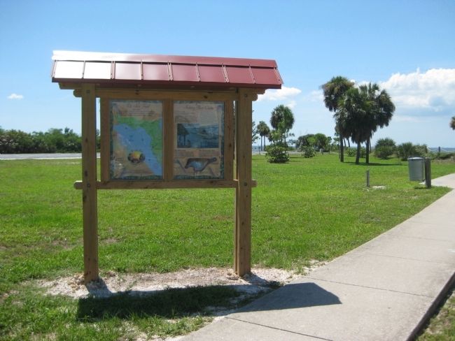
More about this marker. This marker's two, full-color panels are displayed side-by-side within a small, wooden-framed kiosk adorned with a red, metal roof.
Note: At the time of this page's submission, the referenced website, "www.floridadesototrail.com", was not in service.
Regarding Staking Their Claim. The exact location of the De Soto expedition's landing and the site of Uzita is actually a subject of some debate among historians. Some hold that De Soto began his exploration of Florida many miles to the south by sailing into Charlotte Harbor and camping near what is today the city of Port Charlotte.
Related markers. Click here for a list of markers that are related to this marker. Florida De Soto Trail
Credits. This page was last revised on March 9, 2019. It was originally submitted on July 21, 2011, by Glenn Sheffield of Tampa, Florida. This page has been viewed 1,116 times since then and 35 times this year. Last updated on November 21, 2018, by Cosmos Mariner of Cape Canaveral, Florida. Photos: 1, 2, 3. submitted on July 21, 2011, by Glenn Sheffield of Tampa, Florida. 4, 5, 6, 7. submitted on July 23, 2011, by Glenn Sheffield of Tampa, Florida. • Bernard Fisher was the editor who published this page.
