Inverness in Citrus County, Florida — The American South (South Atlantic)
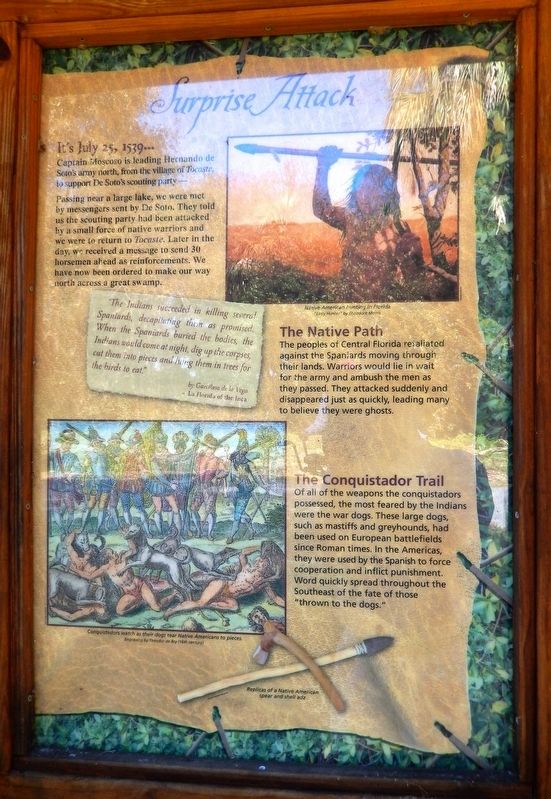
Surprise Attack
Florida De Soto Trail
— July 25, 1539 —
Captain Moscoso is leading Hernando de Soto’s army north, from the village of Tocaste, to support De Soto’s scouting party…
Passing near a large lake, we were met by messengers sent by De Soto. They told us the scouting party had been attacked by a small force of native warriors and we were to return to Tocaste. Later in the day, we received a message to send 30 horsemen ahead as reinforcements. We have now been ordered to make our way north across a great swamp.
”The Indians succeeded in killing several Spaniards, decapitating them as promised. When the Spaniards buried the bodies, the Indians would come at night, dig up the corpses, cut them into pieces and hang them in trees for the birds to eat.”
by Garcilaso de la Vega
- La Florida of the Inca
The Native Path
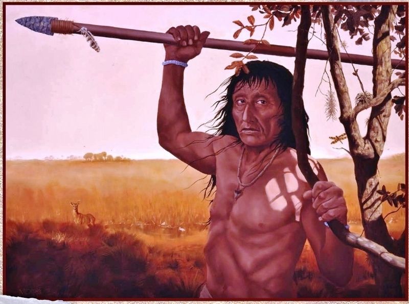
The peoples of Central Florida retaliated against the Spaniards moving through their lands. Warriors would lie in wait for the army and ambush the men as they passed. They attacked suddenly and disappeared just as quickly, leading many to believe they were ghosts.
The Conquistador Trail
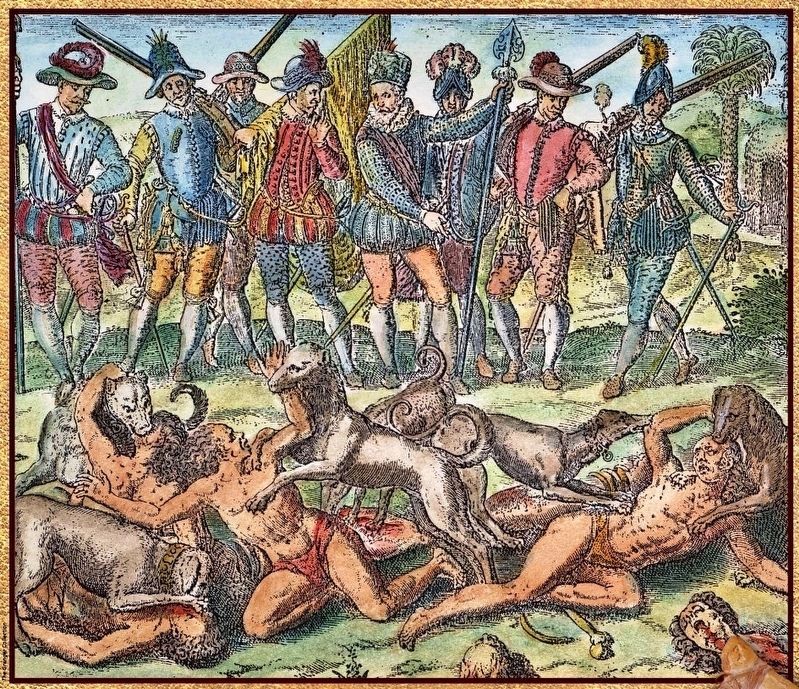
Of all of the weapons the conquistadors possessed, the most feared by the Indians were the war dogs. These large dogs, such as mastiffs and greyhounds, had been used on European battlefields since Roman times. In the Americas, they were used by the Spanish to force cooperation and inflict punishment. Word quickly spread throughout the Southeast of the fate of those “thrown to the dogs.”
Erected by Florida De Soto Trail, Florida Department of Transportation, the Florida Park Service, and the National Park Service. (Marker Number 14.)
Topics. This historical marker is listed in these topic lists: Colonial Era • Exploration • Native Americans. A significant historical date for this entry is July 25, 1539.
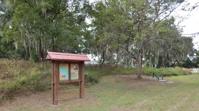
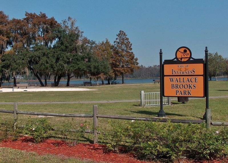
Location. 28° 50.32′ N, 82° 19.664′ W. Marker is in Inverness, Florida, in Citrus County. Marker can be reached from East Dampier Street east of North Mill Avenue when traveling east. Marker is located along the east side of the Withlacoochee State Trail, in Wallace Brooks Park, just north of the Dampier Street trailhead. Touch for map. Marker is in this post office area: Inverness FL 34450, United States of America. Touch for directions.
Other nearby markers. At least 8 other markers are within walking distance of this marker. Greater Mount Carmel Baptist Church (about 500 feet away, measured in a direct line); The McLeod House (approx. 0.2 miles away); Coca-Cola Building (approx. 0.2 miles away); Valerie Theater (approx. 0.2 miles away); Historic Citrus County Courthouse (approx. ¼ mile away); 109 Courthouse Square (approx. ¼ mile away); The Dampier Building (approx. ¼ mile away); Korean War Memorial (approx. ¼ mile away). Touch for a list and map of all markers in Inverness.
More about this marker. Marker is a large, composite plaque mounted vertically within a heavy-duty wooden kiosk.
Related markers. Click here for a list of markers that are related to this marker. Florida De Soto Trail
Also see . . .
1. Hernando de Soto. Seeking greater glory and riches, de Soto embarked on a major expedition in 1538 to conquer Florida for the Spanish crown. He and his men traveled nearly 4,000 miles throughout the region that would become the southeastern United States in search of riches, fighting off Native American attacks along the way. In 1541, de Soto and his men became the first Europeans to encounter the great Mississippi River and cross it; de Soto died early the next year. (Submitted on October 25, 2018, by Cosmos Mariner of Cape Canaveral, Florida.)
2. Florida Frontiers: Hernando de Soto in La Florida. The land that the Spanish called La Florida encompassed the entire region that is now the southeastern
United States. While several conquistadors had visited Florida prior to 1539, none were more intrepid than Hernando de Soto.
He recruited 620 volunteers to accompany him on a four-year mission to search for gold and establish a settlement. Also aboard de Soto’s fleet of nine ships were 500 animals, including horses, cows, and pigs.
In May of 1539, they landed somewhere near present day Tampa Bay, maybe a little further south, scholars disagree about the exact location, but what’s different from other expeditions is that they immediately started heading into the interior of Florida... (Submitted on October 25, 2018, by Cosmos Mariner of Cape Canaveral, Florida.)
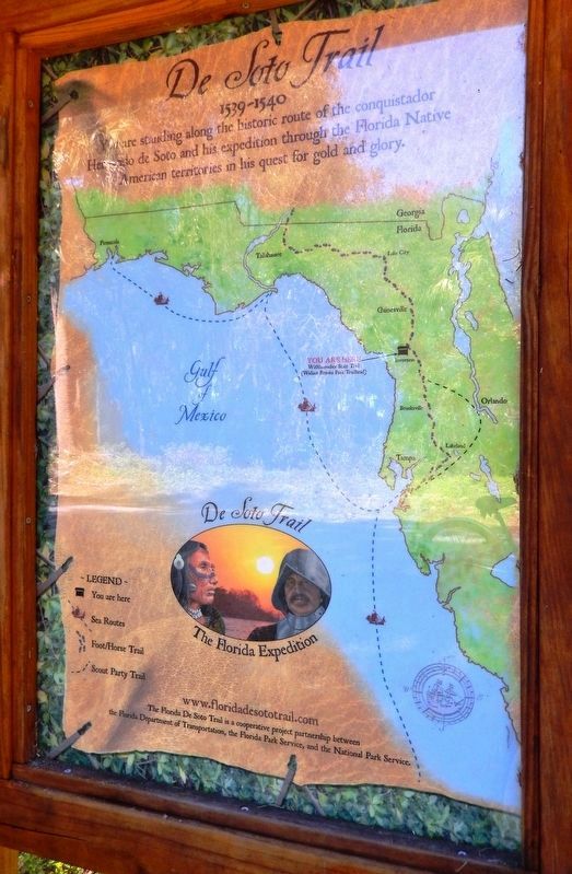
Photographed By Cosmos Mariner, February 17, 2016
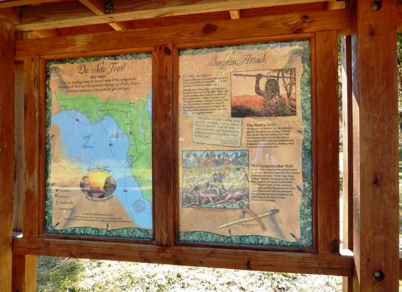
4. De Soto Trail Map (panel to the left of marker in kiosk)
1539-1540
Credits. This page was last revised on January 5, 2021. It was originally submitted on October 24, 2018, by Cosmos Mariner of Cape Canaveral, Florida. This page has been viewed 351 times since then and 30 times this year. Last updated on November 21, 2018, by Cosmos Mariner of Cape Canaveral, Florida. Photos: 1, 2, 3, 4, 5. submitted on October 25, 2018, by Cosmos Mariner of Cape Canaveral, Florida. 6. submitted on November 4, 2018, by Cosmos Mariner of Cape Canaveral, Florida. 7. submitted on October 25, 2018, by Cosmos Mariner of Cape Canaveral, Florida. • Bernard Fisher was the editor who published this page.
