Lower Providence Township near Audubon in Montgomery County, Pennsylvania — The American Northeast (Mid-Atlantic)
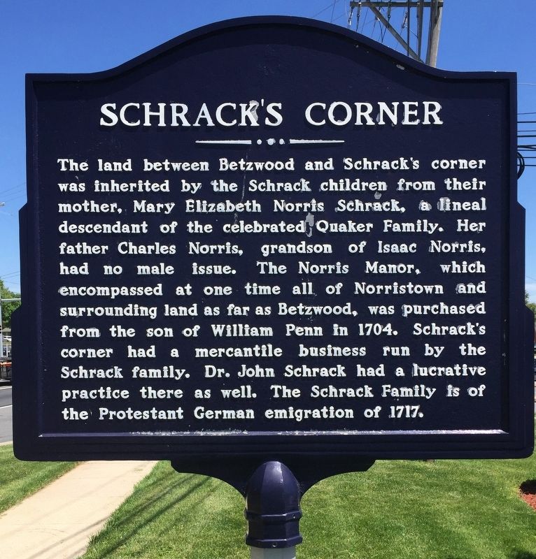
Schrack’s Corner
| — | Norristown, Pennsylvania | — |
Photographed by Keith S Smith, June 6, 2017
1. Schrack’s Corner Marker
Topics. This historical marker is listed in these topic lists: Colonial Era • Roads & Vehicles • Settlements & Settlers.
Location. 40° 7.843′ N, 75° 24.137′ W. Marker is near Audubon, Pennsylvania, in Montgomery County. It is in Lower Providence Township. It is at the intersection of Egypt Road and South Trooper Road (Pennsylvania Route 363), on the right when traveling east on Egypt Road. Touch for map. Marker is at or near this postal address: 2610 Egypt
this page online

Regionally, this marker is in Southeast Pennsylvania and in Greater Philadelphia. It is also in the American Northeast and in the Mid-Atlantic. Globally, it is in North America, the Western Hemisphere, the Western World, and the Anglosphere. Historically, it finds itself in what was once the Haudenosaunee (Iroquois) Confederacy and also one of the original Thirteen Colonies.
Other nearby markers. At least 8 other markers are within 2 miles of this marker, measured as the crow flies: Rittenhouse Farm (approx. one mile away); West Norriton Township World War Memorial (approx. 1.7 miles away); Soldiers of Washington's Army (approx. 1.8 miles away); Ira Allen (approx. 1.8 miles away); Mill Grove (approx. 1.9 miles away); George Washington (approx. 2 miles away); Timothy Matlack (approx. 2.1 miles away); Grand Army of the Republic Zook Post #11 (approx. 2.1 miles away). Touch for a list and map of all markers in Audubon.
Also see . . .
1. Norristown, PA ~ Wikipedia. (Submitted on August 22, 2017, by Keith S Smith of West Chester, Pennsylvania.)
2. Isaac Norris ~ Wikipedia.
Photographed by Keith S Smith, June 6, 2017
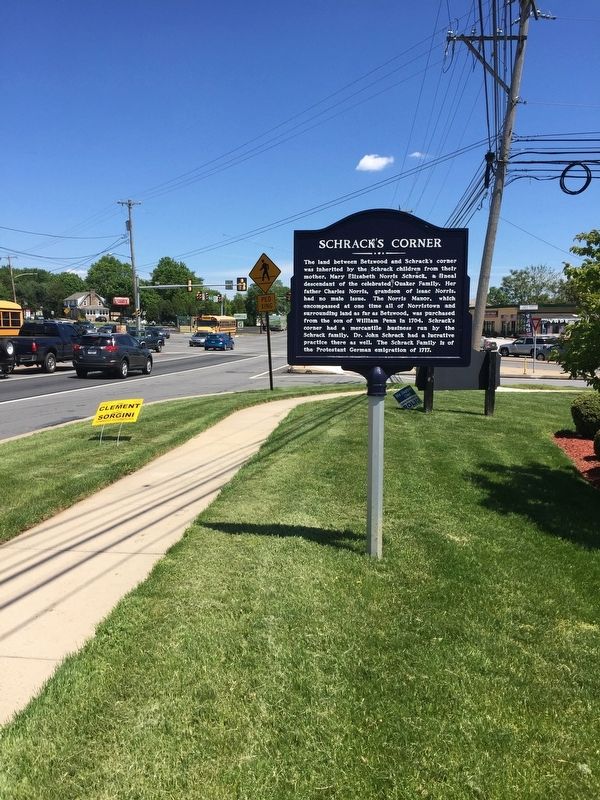
2. Schrack’s Corner Marker Roadside
Montgomery County Historical Society
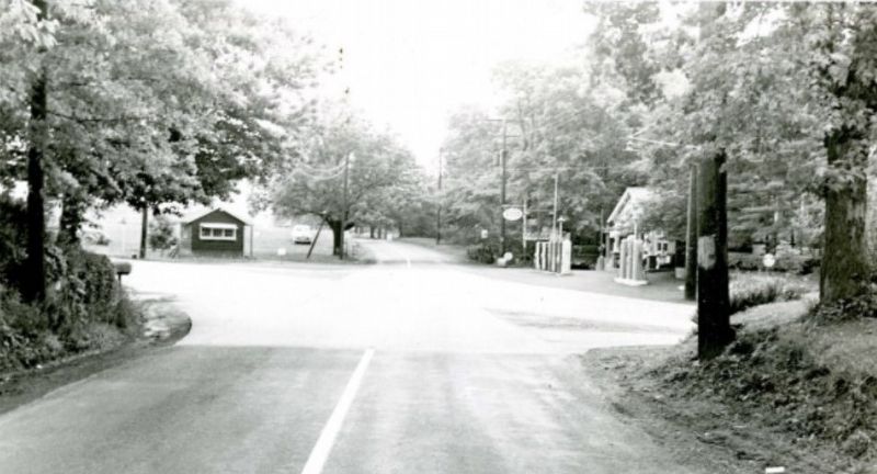
3. Schrack’s Corner in 1950
Credits. This page was last revised on February 7, 2023. It was originally submitted on August 22, 2017, by Keith S Smith of West Chester, Pennsylvania. This page has been viewed 2,674 times since then and 181 times this year. Last updated on November 21, 2018, by Devry Becker Jones of Washington, District of Columbia. Photos: 1, 2, 3. submitted on August 22, 2017, by Keith S Smith of West Chester, Pennsylvania. • Andrew Ruppenstein was the editor who published this page.
