Rossville in Walker County, Georgia — The American South (South Atlantic)
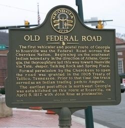
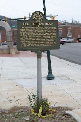
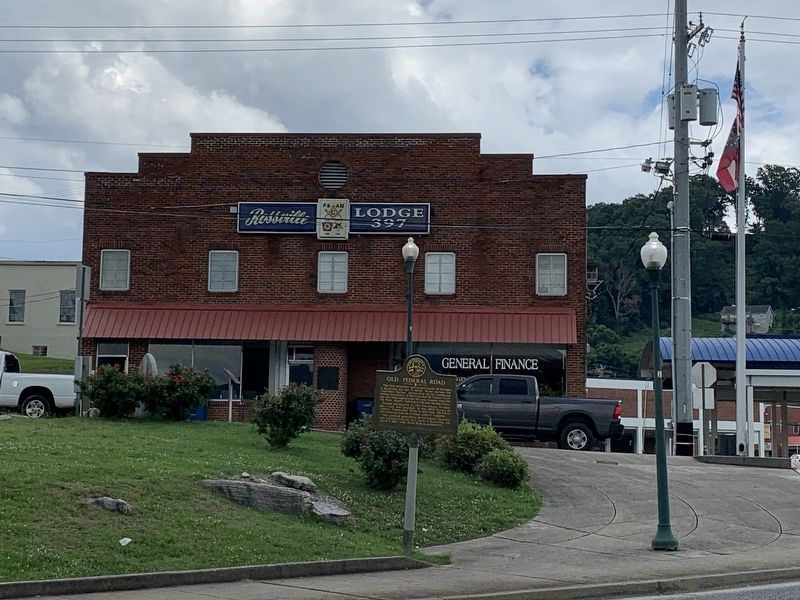
Old Federal Road
Formal permission by the Cherokees to open the road was granted in the 1805 Treaty of Tellico, Tennessee. Prior to that time the trace served as an Indian trading path to Augusta.
The earliest post office in northwest Georgia was established on this route at Rossville, on April 5, 1817 with John Ross as postmaster.
Erected 1992. (Marker Number 146-14.)
Topics and series. This historical marker is listed in these topic lists: Communications • Native Americans • Roads & Vehicles • Settlements & Settlers. In addition, it is included in the Georgia Historical Society series list. A significant historical month for this entry is April 1812.
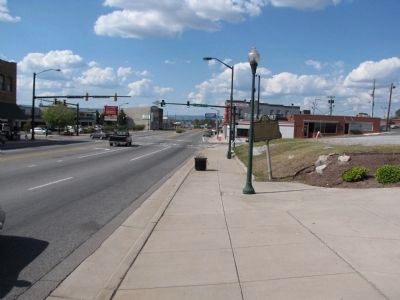
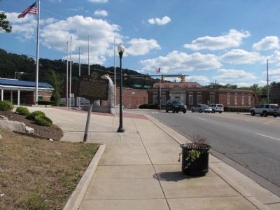
Location. 34° 59.036′ N, 85° 17.182′ W. Marker is in Rossville, Georgia, in Walker County. Marker is on Chickamauga Ave (U.S. 27), on the left when traveling south. Touch for map. Marker is in this post office area: Rossville GA 30741, United States of America. Touch for directions.
Other nearby markers. At least 8 other markers are within walking distance of this marker. Rossville High Alumni Veteran's Memorial (a few steps from this marker); Hooker's Column (a few steps from this marker); Rossville Memorial Fountain (within shouting distance of this marker); Geary's Division (within shouting distance of this marker); Ireland's Brigade (within shouting distance of this marker); John Ross Home (approx. 0.2 miles away); Rossville, McFarland House & Spring (approx. 0.2 miles away); Home of John Ross (approx. ¼ mile away). Touch for a list and map of all markers in Rossville.
Credits. This page was last revised on June 27, 2021. It was originally submitted on October 19, 2008, by R. E. Smith of Nashville, Tennessee. This page has been viewed 1,288 times since then and 42 times this year. Photos: 1, 2. submitted on October 19, 2008, by R. E. Smith of Nashville, Tennessee. 3, 4. submitted on September 12, 2011, by Lee Hattabaugh of Capshaw, Alabama. 5. submitted on June 27, 2021, by Robbie Beam of Knoxville, Tennessee. • Kevin W. was the editor who published this page.
